2000s (21st Century) Maps of Roosevelt County, New Mexico
Explore 275 historic maps of Roosevelt County from the 2000s (21st Century). These maps offer a rare glimpse into what life looked like during the 2000s — showing old roads, neighborhoods, homes, and landmarks that have changed or disappeared over time.
Whether you're researching your family's past, planning a metal detecting trip, or studying how Roosevelt County's landscape evolved across the 2000s, these high-resolution maps are a powerful tool for exploring the history of this region.
- Focus on a specific era: All maps on this page are from the 2000s, giving you a focused view of this time period.
- See what’s changed: Compare century-old streets, trails, and buildings to today's modern landscape using overlays and satellite layers.
- Research with precision: Use these maps for genealogy, historical research, land use analysis, or educational projects.
- View, download, or print: Maps are fully viewable online in high resolution, and can be downloaded or printed for your own records.
Start exploring Roosevelt County's history through authentic maps from the 2000s. This is your window into the past.
Roosevelt County, NM maps
(275)- 2010 Map of Golden Ranch, 2010 Print
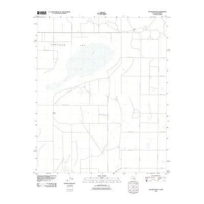 2010 Golden Ranch2010 Print · USGSHigh plains ranching life in Roosevelt County is captured here during the early twenty-first century. Genealogists and local historians can trace the property boundaries of Golden Ranch and Nickles Ranch surrounding the prominent Salt Lake.
 - 2010 Map of Flying M Ranch, 2010 Print
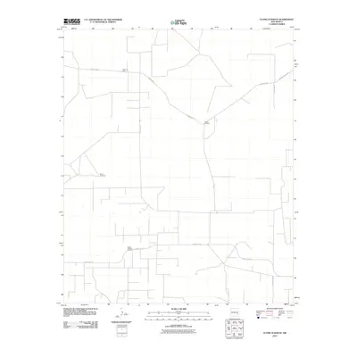 2010 Flying M Ranch2010 Print · USGSLea County in the early 2000s is defined by its ranching heritage and the expansion of the energy sector. Researchers can trace land use at the Flying M Ranch or locate industrial landmarks like the Tobac Oil Field and the curious Mill on the Fence.
 - 2010 Map of Tule Lake, 2010 Print
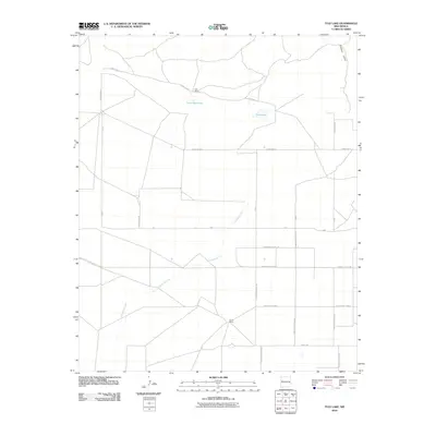 2010 Tule Lake2010 Print · USGSCurry County ranch lands are captured here in the early 2000s, showing the intersection of deep-rooted ranching and modern road grids. Local historians can trace family-named sites like Hart Ranch and Steele Ranch near the waters of Tule Lake.
 - 2010 Map of House SE, 2010 Print
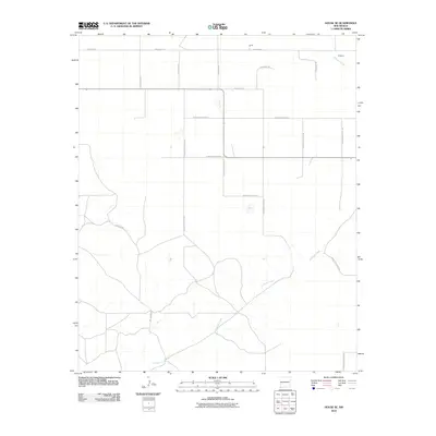 2010 House SE2010 Print · USGSHigh Plains ranching country near the Roosevelt and Quay county line is mapped here during the early twenty-first century. Genealogists and local historians can trace family-named routes and small settlements like Smith, Ferguson, and Hill Ranch Rd along Alamosa Creek.
 - 2010 Map of Milnesand SW, 2010 Print
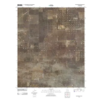 2010 Milnesand SW2010 Print · USGSLea County's industrial landscape is captured here in the early twenty-first century, showing the intersection of energy production and the rural road grid. Trace the infrastructure of the Milnesand Oil Field and Vada Oil Field along County Rd-170.
 - 2010 Map of Peach Canyon, 2010 Print
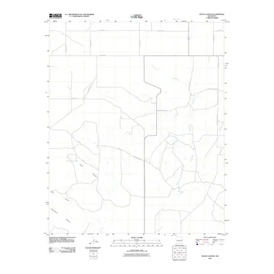 2010 Peach Canyon2010 Print · USGSEastern New Mexico ranching lands are captured here during the first decade of the millennium, showing a landscape defined by deep drainages and section-line roads. Researchers can trace local landmarks like Peach Canyon Spring, Bull Tank Spring, and the path of Sand Canyon.
 - 2010 Map of Floyd, 2010 Print
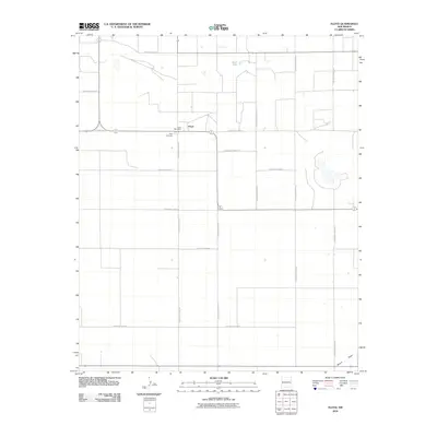 2010 Floyd2010 Print · USGSThe High Plains community of Floyd is captured here in the early twenty-first century, showing the enduring grid of Roosevelt County's rural road network. Genealogists and local historians can trace family locations near Floyd Cemetery, Smith Lake, and the Floyd Post Office.
 - 2010 Map of Kenna, 2010 Print
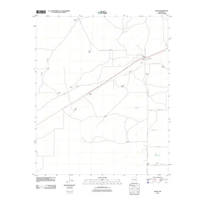 2010 Kenna2010 Print · USGSHigh plains ranching life in Roosevelt County is well-documented here, centered on the community of Kenna during the early twenty-first century. Researchers can locate family landmarks like the Old Kenna Cemetery, the Kenna Post Office, and uniquely named sites such as Doodlebug Windmill.
 - 2010 Map of Tolar SW, 2010 Print
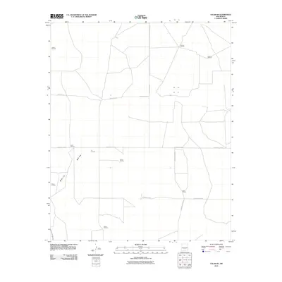 2010 Tolar SW2010 Print · USGSRoosevelt County's ranching landscape is captured here in the early twenty-first century, showing the systematic grid of rural roads and isolated water points. Genealogists and researchers can locate Blanco Cemetery or trace family-named landmarks like Fletcher Windmill and Noblitt Windmill.
 - 2010 Map of Crossroads, 2010 Print
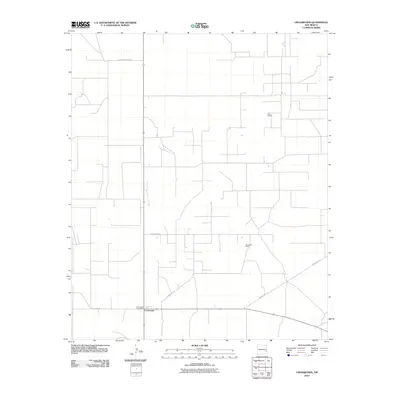 2010 Crossroads2010 Print · USGSLea County's rural energy landscape is captured here in the early 21st century, centered on the community of Crossroads. Researchers can trace the local infrastructure supporting the Prairie Oil Field and Bough Oil Field along roads like County Rd-175.
 - 2010 Map of Button Mesa North, 2010 Print
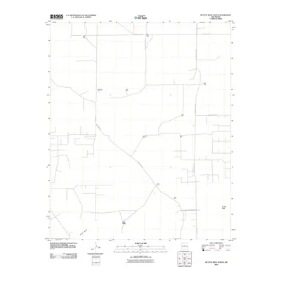 2010 Button Mesa North2010 Print · USGSThe ranchlands of Chaves County are mapped here in the early 2000s, showing a landscape defined by vital water points. Researchers can trace the placement of named landmarks like Vest Wells, Blackstock Well, and Gallina Well along Moon Ranch Rd.
 - 2010 Map of Lewiston Lake, 2010 Print
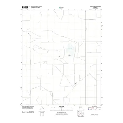 2010 Lewiston Lake2010 Print · USGSRoosevelt County's high plains are defined by a grid of rural roads and natural depressions in the early twenty-first century. Researchers can trace the path of Boone Draw or locate specific agricultural tracts via S Roosevelt Road AN and S Roosevelt Road 14.
 - 2010 Map of Milnesand, 2010 Print
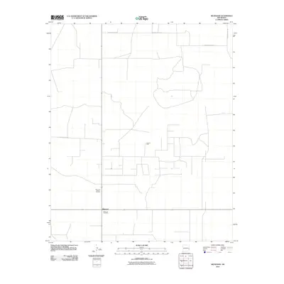 2010 Milnesand2010 Print · USGSMilnesand and the high plains of Roosevelt County are shown here in the early twenty-first century, featuring a landscape shaped by ranching and energy. Researchers can trace local infrastructure through the Milnesand Post Office and the nearby Todd Oil Field.
 - 2010 Map of Lingo, 2010 Print
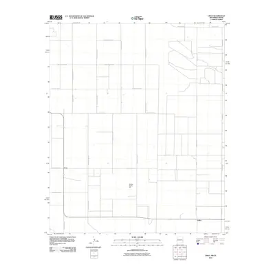 2010 Lingo2010 Print · USGSThe rural borderlands of eastern New Mexico come to life in this survey of the High Plains ranching country. Researchers can trace the grid of section roads to the settlement of Lingo or locate the landmark of Buffalo Soldier Hill.
 - 2010 Map of Krider, 2010 Print
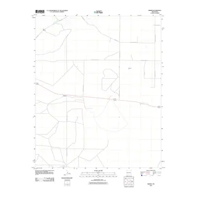 2010 Krider2010 Print · USGSKrider and the surrounding ranchlands of Roosevelt County are captured here in the early twenty-first century. Researchers can trace the extensive rural grid and find localized landmarks like Dobie Windmill, Dickenson Pit, and Alamosa Creek.
 - 2010 Map of Causey East, 2010 Print
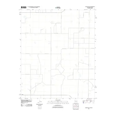 2010 Causey East2010 Print · USGSEastern New Mexico's ranching country is captured here during the first decade of the millennium. Genealogists and local historians can trace the rural grid and property boundaries extending from Causey along Ranch Road 54 and County Rd-11.
 - 2010 Map of Dora NW, 2010 Print
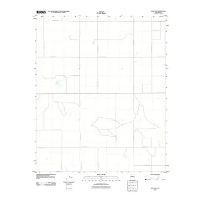 2010 Dora NW2010 Print · USGSRoosevelt County's high plains are captured here in the early 2000s, showing a landscape defined by an extensive agricultural grid. Genealogists and local historians can trace property boundaries and rural access routes along S Roosevelt Road 25 and near the distinct basin of Red Lake.
 - 2010 Map of Midway, 2010 Print
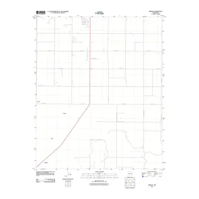 2010 Midway2010 Print · USGSMidway and the surrounding ranchlands of Roosevelt County are shown here as they appeared in the early 2000s. Researchers can trace rural property lines and family-named landmarks including Hardwick Ranch, Stewart Ranch, and the settlement of Cameo.
 - 2010 Map of Arch NW, 2010 Print
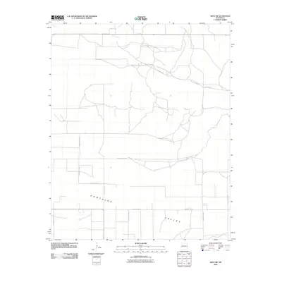 2010 Arch NW2010 Print · USGSThe rural expanse of Roosevelt County is seen here during the first decade of the millennium, characterized by the wide Portales Valley. Researchers can trace the development of the Llano Estacado through its precise road grid, including Blackwater Rd and S Roosevelt Road 8.
 - 2010 Map of Pleasure Lake, 2010 Print
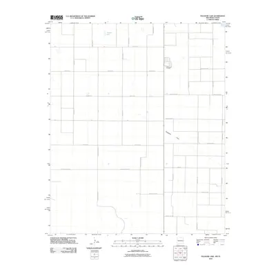 2010 Pleasure Lake2010 Print · USGSThis high plains landscape in eastern New Mexico was captured just as the century turned its first decade, showing a vast grid of rural section-line roads. Trace family roots and local history at the Old Farwell Cemetery or locate natural landmarks like Pleasure Lake and Blackwater Draw.
 - 2010 Map of Elida SE, 2010 Print
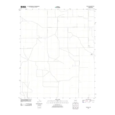 2010 Elida SE2010 Print · USGSRoosevelt County's high plains are shown here in the early twenty-first century, revealing a rural landscape shaped by ranching and a strict road grid. You can trace the locations of isolated landmarks like the United States Windmill and New Windmill.
 - 2010 Map of Bledsoe SW, 2010 Print
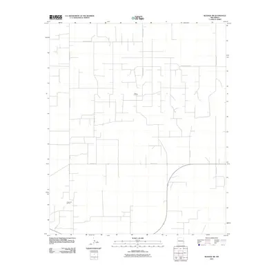 2010 Bledsoe SW2010 Print · USGSLea County in 2010 showcases a landscape shaped by petroleum production and a structured rural road network. Researchers can trace the layout of energy infrastructure including the Allison Oil Field and the Crossroads Oil Field along routes like Bun Rd.
 - 2010 Map of Melrose SE, 2010 Print
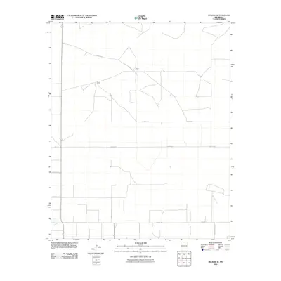 2010 Melrose SE2010 Print · USGSEastern New Mexico's ranching country is meticulously detailed in this High Plains survey at the start of the 2010s. Researchers can trace the rural property lines and road networks connecting family landmarks like Spencer Ranch and Smart Ranch along Baseline Rd.
 - 2010 Map of Pep, 2010 Print
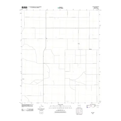 2010 Pep2010 Print · USGSEastern New Mexico's High Plains are shown in the early twenty-first century, revealing a landscape of remote agricultural settlements and straight section-line roads. Genealogists can locate Richland Cemetery and New Hope Cemetery near the communities of Pep and Richland.
 - 2010 Map of Gammil Well NE, 2010 Print
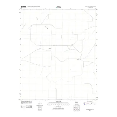 2010 Gammil Well NE2010 Print · USGSRoosevelt County ranching country is captured here during the first decade of the 2000s, showing a landscape defined by expansive mesas and isolated outposts. Researchers can locate the Benson Cemetery and trace the boundaries of the Price-Portales Ranch.
Showing maps 1-25 of 275
Top cities of Roosevelt County
- Portales historical maps
- Elida historical maps
- Dora historical maps
- Floyd historical maps
- Causey historical maps
Frequently asked questions
- What are the different types of historical maps available for Roosevelt County?
- What is the oldest map of Roosevelt County?
- Where can I purchase historical maps of Roosevelt County for my home or office?
- Where can I download high-res historical maps of Roosevelt County?
- Are there historical topographic maps available for Roosevelt County?
- Is there historical aerial imagery available for Roosevelt County?
- Where are historical maps of Roosevelt County sourced from?