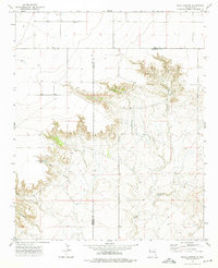
1970s Maps of Roosevelt County, New Mexico
Explore 43 historic maps of Roosevelt County from the 1970s. These maps offer a rare glimpse into what life looked like during the 1970s — showing old roads, neighborhoods, homes, and landmarks that have changed or disappeared over time.
Whether you're researching your family's past, planning a metal detecting trip, or studying how Roosevelt County's landscape evolved across the 1970s, these high-resolution maps are a powerful tool for exploring the history of this region.
- Focus on a specific era: All maps on this page are from the 1970s, giving you a focused view of this time period.
- See what’s changed: Compare century-old streets, trails, and buildings to today's modern landscape using overlays and satellite layers.
- Research with precision: Use these maps for genealogy, historical research, land use analysis, or educational projects.
- View, download, or print: Maps are fully viewable online in high resolution, and can be downloaded or printed for your own records.
Start exploring Roosevelt County's history through authentic maps from the 1970s. This is your window into the past.
Roosevelt County, NM maps
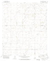
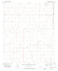
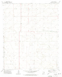
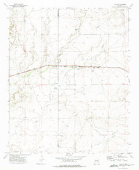
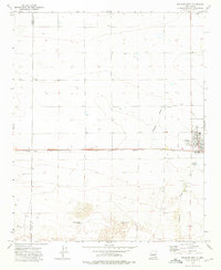
(43)- 1970 Map of Lingo, 1972 Print
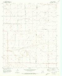 1970 Lingo1972 Print · USGSThe High Plains at the New Mexico and Texas border come alive in the early seventies, showing a landscape defined by ranching and resource extraction. Trace the footprint of small settlements like Lingo and Griffith alongside a Landing Field and a local Gravel pit.
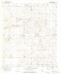
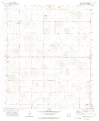
 - 1970 Map of Bledsoe, 1973 Print
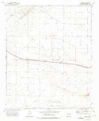
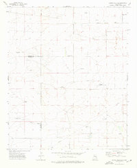
 1970 Bledsoe1973 Print · USGSBledsoe was a vital railhead at the edge of the Texas Panhandle during the expansion of the Permian Basin's energy reaches. Genealogists and industrial historians can trace the Atchison Topeka and Santa Fe line and the early development of the Buckshot Oil Field.
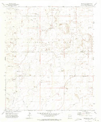
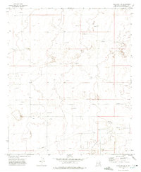
 - 1970 Map of Causey East, 1973 Print
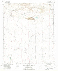
 1970 Causey East1973 Print · USGSThe high plains of the New Mexico-Texas border come into focus in the early seventies, centered on the village of Causey. Genealogists and researchers can trace the Causey Corporate Boundary, locate the local Cem, and find industrial markers like the Pumping Sta.
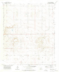
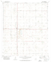
 - 1970 Map of Bledsoe NE, 1973 Print
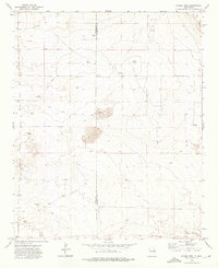
 1970 Bledsoe NE1973 Print · USGSThe High Plains along the state line between New Mexico and Texas are shown in this 1970 survey of industry and ranching. Researchers can trace land usage through Drill Holes, find a small Cem, and locate early infrastructure like a Pipeline.
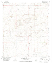
 - 1972 Map of Milnesand SW, 1975 Print
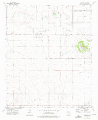
 1972 Milnesand SW1975 Print · USGSThe High Plains of the New Mexico borderlands reveal an industrial landscape during the early 1970s energy boom. Researchers can trace the footprint of the Vandiver Oil Field and locate numerous Oil Wells, Gravel Pits, and remote ranch fencing.2 unique versions available
 - 1972 Map of Bluit, 1975 Print
 1972 Bluit1975 Print · USGSEastern New Mexico's ranching and energy landscape comes into focus during the early 1970s. Trace local family history at Perkins Memorial Cemetery or explore the development of Bluit near its network of Oil Wells and a rural Landing Strip.2 unique versions available
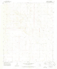
 - 1972 Map of Bledsoe SW, 1975 Print
 1972 Bledsoe SW1975 Print · USGSThe high plains of the New Mexico borderlands come into focus during the early seventies as the local economy shifts toward petroleum. Genealogists and historians can trace the remote Pitchfork School and the industrial infrastructure of the Allison Oil Field.2 unique versions available
 - 1972 Map of Dora NW, 1975 Print
 1972 Dora NW1975 Print · USGSRoosevelt County ranching lands and the high plains of the Llano Estacado are captured here in the early 1970s. Researchers can trace the path of a major Pipeline or locate local landmarks like Red Lake and various Gravel Pit sites.2 unique versions available
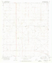
 - 1972 Map of Garrison, 1975 Print
 1972 Garrison1975 Print · USGSRoosevelt County's high plains are captured here in the early seventies, showing a quiet landscape of isolated wells and rural boundary lines. Researchers can pinpoint the Causey Cem and the small settlement of Garrison, or trace the Causey Corporate Boundary.
 - 1972 Map of Milnesand, 1975 Print
 1972 Milnesand1975 Print · USGSMilnesand and the surrounding Llano Estacado high plains are captured in the early 1970s during a period of significant petroleum activity. Local historians can trace the industrial footprint of the Todd Oil Field through its many Oil Well locations, Pipeline corridors, and the Pumping Sta.2 unique versions available
 - 1972 Map of Dora SW, 1975 Print
 1972 Dora SW1975 Print · USGSRoosevelt County's high plains were a hub of energy exploration in the early seventies, as evidenced by this detailed topographic survey. Researchers can trace the network of an early Pipeline and locate numerous scattered Oil Well and Drill Hole sites across the open range.2 unique versions available
 - 1972 Map of Crossroads, 1975 Print
 1972 Crossroads1975 Print · USGSThe eastern New Mexico high plains were a hive of energy extraction in the early 1970s, where the county lines of Lea and Roosevelt meet. Genealogists and local historians can trace the industrial footprint of Crossroads through landmarks like the Gas Plant and Prairie Oil Field.
 - 1972 Map of Pep, 1975 Print
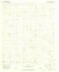
 1972 Pep1975 Print · USGSThe rural plains of Roosevelt County were captured in the early seventies during a period of steady agricultural and resource development. Genealogists can locate family landmarks like New Hope Cem and the small settlements of Pep and Richland.
 - 1972 Map of Causey West, 1975 Print
 1972 Causey West1975 Print · USGSRoosevelt County ranching and farming communities are mapped in the early seventies along the Texas border. Trace family roots and land use near Causey, the Longs Cem, and the small settlement of Rogers.2 unique versions available
 - 1972 Map of Milnesand NW, 1975 Print
 1972 Milnesand NW1975 Print · USGSRoosevelt County's high plains were a hub of energy production in the early seventies, dominated by the petroleum industry. Researchers can trace the layout of the Chaveroo Oil Field, find the Eagle Hill Cem, and locate the industrial Pipeline.2 unique versions available
 - 1972 Map of Dora, 1975 Print
 1972 Dora1975 Print · USGSThe village of Dora and its surrounding high plains are captured in the early 1970s as a quiet center of Roosevelt County life. Researchers can trace the town's extent and locate important landmarks like Mt Zion Cem, the settlement of Burkett, and numerous local wells.2 unique versions available
 - 1973 Map of Tolar, 1975 Print
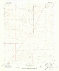
 1973 Tolar1975 Print · USGSIn the early 1970s, the plains of Roosevelt County remained a vital transit corridor defined by the Atchison Topeka and Santa Fe railroad. Genealogists and historians can locate the Tolar Cem, the settlement of Tolar, and remote water markers like Stinking Spring.2 unique versions available
 - 1973 Map of Floyd, 1975 Print
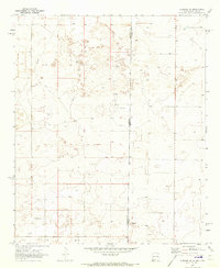
 1973 Floyd1975 Print · USGSRoosevelt County in the early 1970s reveals a structured agricultural community built around the town of Floyd. Genealogists and historians can trace local landmarks like Central Ch, the Cem, and natural features like Tierra Blanca Lake.2 unique versions available
 - 1973 Map of Krider, 1975 Print
 1973 Krider1975 Print · USGSRoosevelt County's high plains are captured here in the early 1970s, dominated by the vital Atchison Topeka and Santa Fe rail corridor. Trace the rail-side settlements of Krider and Cantara or the remote Dobie Windmill near the banks of Alamosa Creek.2 unique versions available
 - 1973 Map of Lewiston Lake, 1975 Print
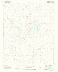 1973 Lewiston Lake1975 Print · USGSRoosevelt County in the early seventies shows a landscape of wide basins and energy infrastructure. Trace the saline waters of Lewiston Lake (Salt) and follow the industrial path of the Pipeline near the drainage of Boone Draw.2 unique versions available
 - 1973 Map of Melrose West, 1975 Print
 1973 Melrose West1975 Print · USGSEastern New Mexico high plains life is captured here in the early seventies, centered on the railroad town of Melrose. Genealogists and historians can trace rail-side infrastructure and local landmarks like the North Cem, Cantara, and the Sand Dunes to the south.
 - 1973 Map of Gammil Well SE, 1975 Print
 1973 Gammil Well SE1975 Print · USGSThe Roosevelt and Chaves County line in the early seventies was a land of isolated ranches and essential water works. Genealogists and historians can locate family landmarks like Ingram Cem, the Foust-Hilburn Ranch, and the Johnson Windmill.
 - 1973 Map of Tule Lake, 1975 Print
 1973 Tule Lake1975 Print · USGSEastern New Mexico ranching country comes into focus in the early seventies, showing a land defined by its vital water wells. Genealogists and researchers can trace local family land use through the Hart Ranch, Steele Ranch, and Tule Lake.2 unique versions available
 - 1973 Map of Gammil Well, 1975 Print
 1973 Gammil Well1975 Print · USGSHigh plains ranching life in the 1970s is captured here along the border of De Baca and Roosevelt Counties. Researchers can trace the importance of isolated water sources like Gammil Well, Jones Windmill, and Benathy Well across this remote landscape.2 unique versions available
 - 1973 Map of Peach Canyon, 1975 Print
 1973 Peach Canyon1975 Print · USGSEastern New Mexico ranching country is documented here in the early 1970s at the intersection of Quay, De Baca, and Roosevelt counties. Researchers can locate remote landmarks like Peach Canyon Spring, a solitary Grave, and the winding path of Sand Creek.
Showing maps 1-25 of 43
Top cities of Roosevelt County
- Portales historical maps
- Elida historical maps
- Dora historical maps
- Floyd historical maps
- Causey historical maps
Frequently asked questions
- What are the different types of historical maps available for Roosevelt County?
- What is the oldest map of Roosevelt County?
- Where can I purchase historical maps of Roosevelt County for my home or office?
- Where can I download high-res historical maps of Roosevelt County?
- Are there historical topographic maps available for Roosevelt County?
- Is there historical aerial imagery available for Roosevelt County?
- Where are historical maps of Roosevelt County sourced from?