1980s Maps of Roosevelt County, New Mexico
Explore 12 historic maps of Roosevelt County from the 1980s. These maps offer a rare glimpse into what life looked like during the 1980s — showing old roads, neighborhoods, homes, and landmarks that have changed or disappeared over time.
Whether you're researching your family's past, planning a metal detecting trip, or studying how Roosevelt County's landscape evolved across the 1980s, these high-resolution maps are a powerful tool for exploring the history of this region.
- Focus on a specific era: All maps on this page are from the 1980s, giving you a focused view of this time period.
- See what’s changed: Compare century-old streets, trails, and buildings to today's modern landscape using overlays and satellite layers.
- Research with precision: Use these maps for genealogy, historical research, land use analysis, or educational projects.
- View, download, or print: Maps are fully viewable online in high resolution, and can be downloaded or printed for your own records.
Start exploring Roosevelt County's history through authentic maps from the 1980s. This is your window into the past.
Roosevelt County, NM maps
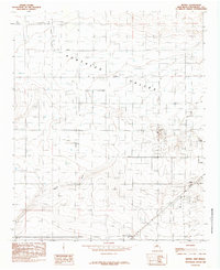
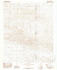
(12)- 1985 Map of Midway
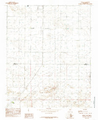 1985 Midway1985 Print · USGSCovers Roosevelt County, including Midway, Cameo, and other nearby areas
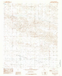
 - 1985 Map of Portales SE
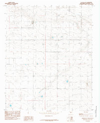 1985 Portales SE1985 Print · USGSCovers Roosevelt County, including United States, New Mexico, and other nearby areas
 - 1985 Map of Pleasure Lake
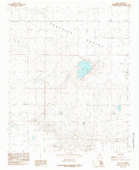
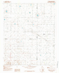 1985 Pleasure Lake1985 Print · USGSCovers Roosevelt County, including Curry County, Bailey County, and other nearby areas
 - 1985 Map of Delphos
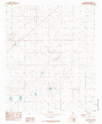 1985 Delphos1985 Print · USGSCovers Roosevelt County, including Delphos, United States, and other nearby areas
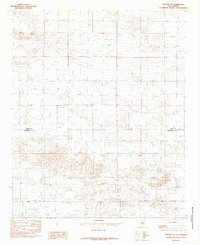
 - 1985 Map of Arch
 1985 Arch1985 Print · USGSCovers Roosevelt County, including Arch, United States, and other nearby areas
 - 1985 Map of Portales
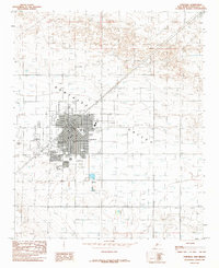 1985 Portales1985 Print · USGSCovers Roosevelt County, including Portales, United States, and other nearby areas
 - 1985 Map of Bethel
 1985 Bethel1985 Print · USGSCovers Roosevelt County, including Portales, Floyd, and other nearby areas
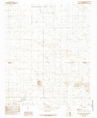
 - 1985 Map of Golden Ranch
 1985 Golden Ranch1985 Print · USGSCovers Roosevelt County, including Bailey County, United States, and other nearby areas
 - 1985 Map of Arch NE
 1985 Arch NE1985 Print · USGSCovers Roosevelt County, including Bailey County, United States, and other nearby areas
 - 1985 Map of Arch NW
 1985 Arch NW1985 Print · USGSCovers Roosevelt County, including United States, New Mexico, and other nearby areas
 - 1985 Map of Portair SW
 1985 Portair SW1985 Print · USGSCovers Roosevelt County, including Curry County, United States, and other nearby areas
 - 1985 Map of Oasis State Park
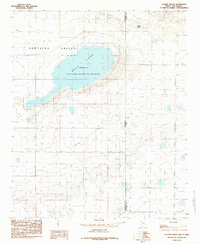
 1985 Oasis State Park1985 Print · USGSCovers Roosevelt County, including Cannon AFB, Curry County, and other nearby areas
End of results
Showing maps 1-12 of 12
Top cities of Roosevelt County
- Portales historical maps
- Elida historical maps
- Dora historical maps
- Floyd historical maps
- Causey historical maps
Frequently asked questions
- What are the different types of historical maps available for Roosevelt County?
- What is the oldest map of Roosevelt County?
- Where can I purchase historical maps of Roosevelt County for my home or office?
- Where can I download high-res historical maps of Roosevelt County?
- Are there historical topographic maps available for Roosevelt County?
- Is there historical aerial imagery available for Roosevelt County?
- Where are historical maps of Roosevelt County sourced from?