
1985 Map of Midway
USGS Topo · Published 1985About this map
Center School stands as a central landmark in this high plains landscape of eastern New Mexico, situated north of the Curry Co Roosevelt Co line. The terrain is defined by a sparse but essential network of groundwater access, marked by numerous wells scattered across the township sections. These water sources sustained the rural life and ranching operations of the mid-1980s. In the southern portion of the map, the small community of Midway sits near the base line, while the settlement of Cameo is positioned further north along the county boundary. The map illustrates a strictly surveyed grid of section lines and unimproved roads, reflecting the organized agricultural and ranching layout characteristic of the Llano Estacado region during this period.
Find a feature on this map
5 named features on this map. Tap any name to fly to it.
Don’t see what you’re looking for? This feature index may not catch every label — zoom into the map to look around manually.
Map Details
Editions of this 1985 Midway Map
This is the sole edition of this map. No revisions or reprints were ever made.
Other maps of this area

1954 · Clovis
USGS Topo · 1:250,000

1957 · Portair
USGS Topo · 1:62,500

1957 · Clovis
USGS Topo · 1:62,500

1957 · Arch
USGS Topo · 1:62,500

1957 · Portales
USGS Topo · 1:62,500

1958 · Clovis
USGS Topo · 1:250,000

1985 · Portair
USGS Topo · 1:24,000

1985 · Pleasure Lake
USGS Topo · 1:24,000
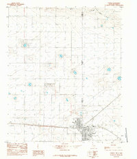
1985 · Farwell
USGS Topo · 1:24,000
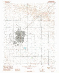
1985 · Portales
USGS Topo · 1:24,000