
1957 Map of Arch
USGS Topo · Published 1958About this map
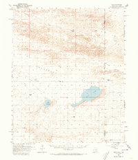
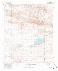
Arch and the surrounding ranchlands of Roosevelt County sit at the heart of this mid-century survey, documenting a landscape defined by the alkaline basins of Salt Lake and Little Salt Lake. The settlement patterns here are deeply tied to the land's hydrology and topography, as seen in the scattered family-named outposts like Coldwater Ranch, Golden Ranch, and Phillips Ranch. The course of Blackwater Draw cuts across the northern terrain, a dry drainage system that has historically provided a path for migration and settlement across the High Plains.
Find a feature on this map
15 named features on this map. Tap any name to fly to it.
Don’t see what you’re looking for? This feature index may not catch every label — zoom into the map to look around manually.
Map Details
Editions of this 1957 Arch Map
3 editions found
Other maps of this area

1954 · Clovis
USGS Topo · 1:250,000

1954 · Brownfield
USGS Topo · 1:250,000

1957 · Portair
USGS Topo · 1:62,500

1957 · Clovis
USGS Topo · 1:62,500

1957 · Portales
USGS Topo · 1:62,500

1958 · Brownfield
USGS Topo · 1:250,000

1958 · Clovis
USGS Topo · 1:250,000

1962 · Brownfield
USGS Topo · 1:250,000

1962 · Stegall
USGS Topo · 1:24,000

1962 · Birdwell Ranch
USGS Topo · 1:24,000