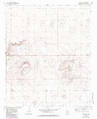
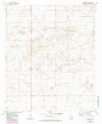
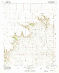
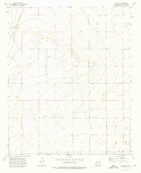
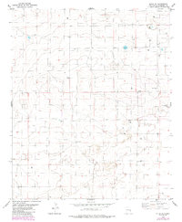
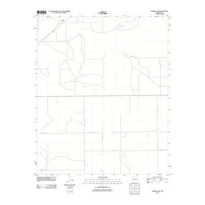
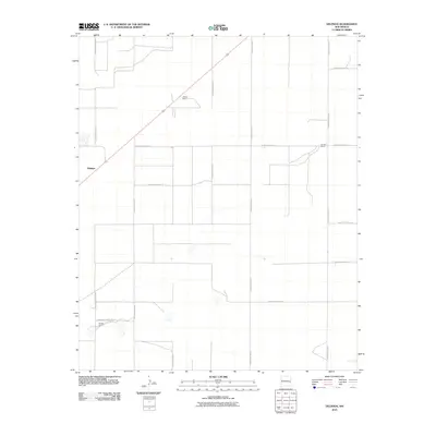
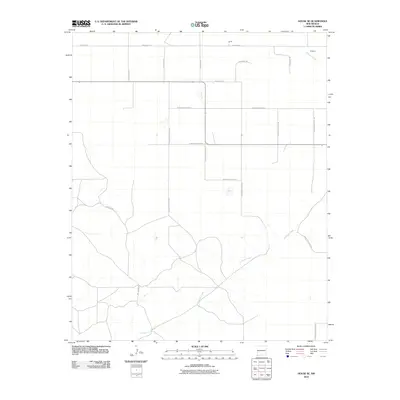
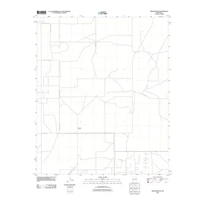
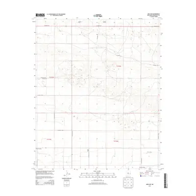
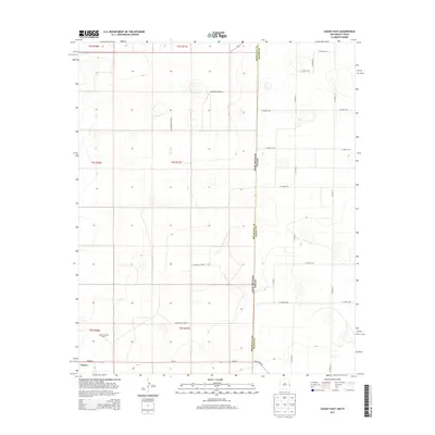
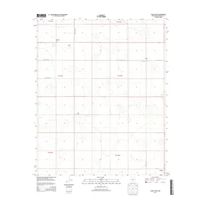
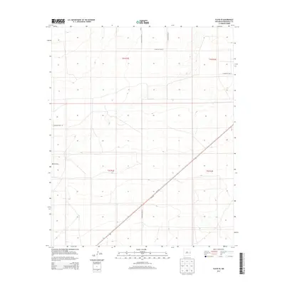
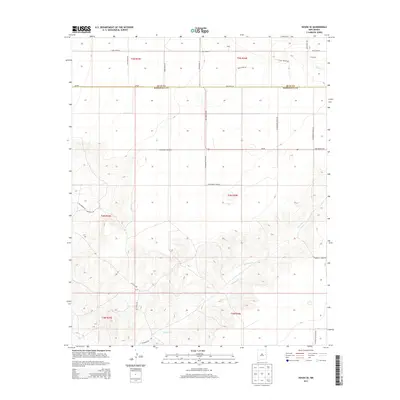
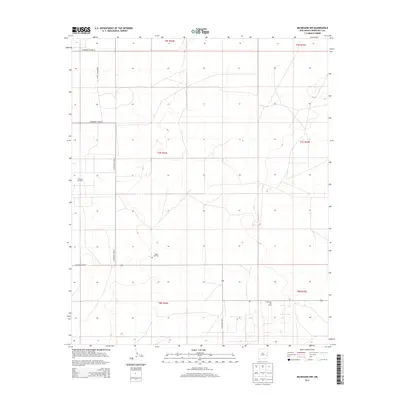
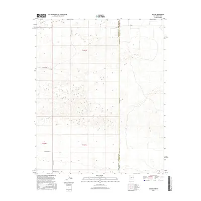
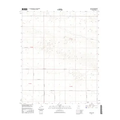
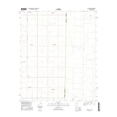
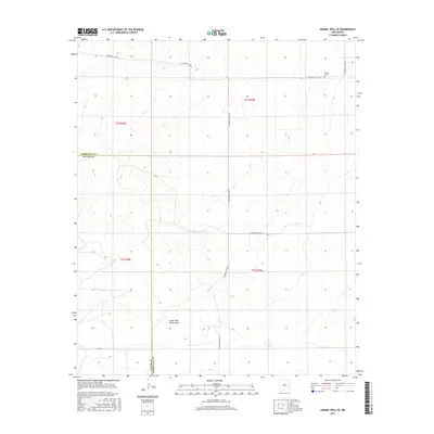
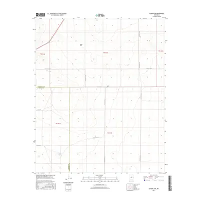
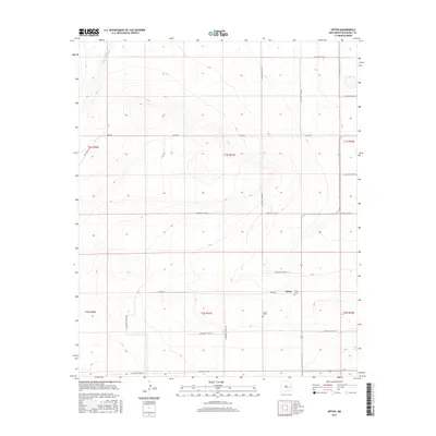
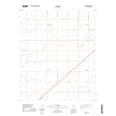
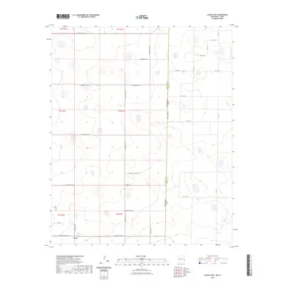
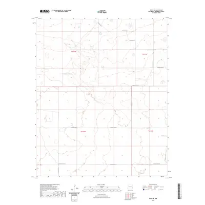
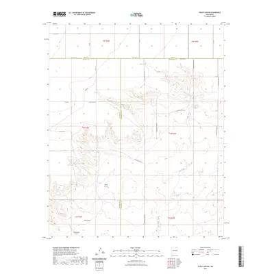
1957 Map of Arch
USGS Topo · Published 1973About this map
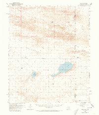
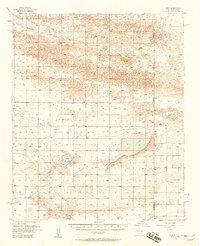
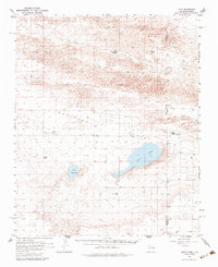
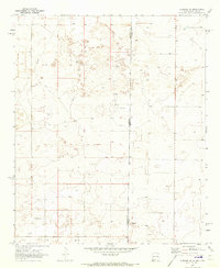
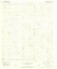
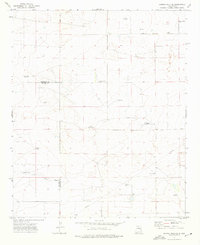
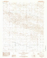
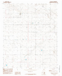
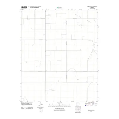
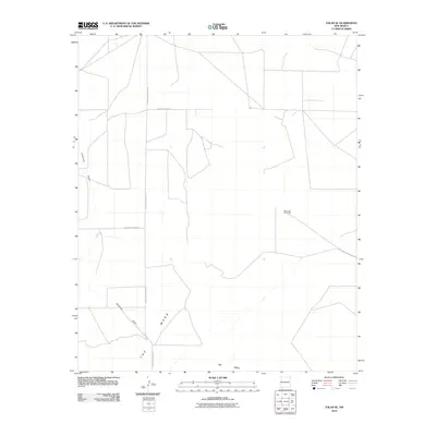
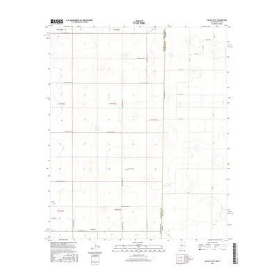
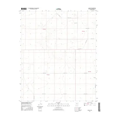
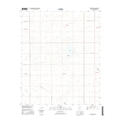
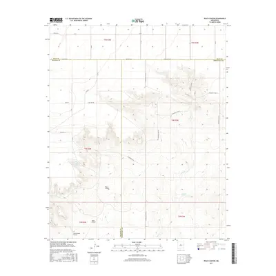
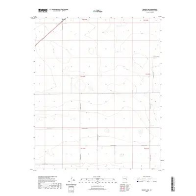
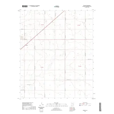
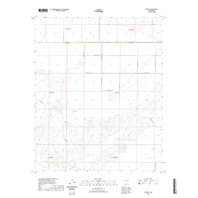
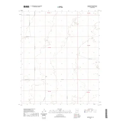
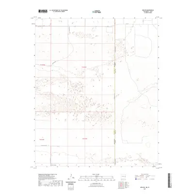
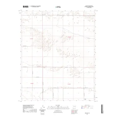
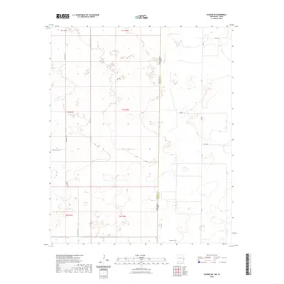
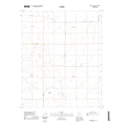
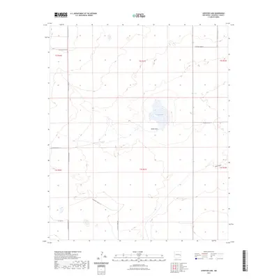
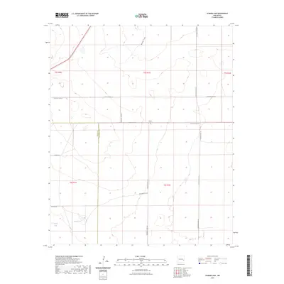
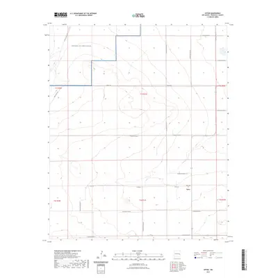
Arch sits at the heart of this high plains landscape on the border of New Mexico and Texas during the late 1950s. The area is defined by a series of significant depressions and ephemeral water bodies, most notably the expansive Salt Lake and nearby Little Salt Lake. This geography influenced the placement of early homesteads and ranching operations, which are identified here by family name. The map documents the distributed nature of local settlement, marking sites such as Coldwater Ranch, Golden Ranch, Phillips Ranch, and Nickles Ranch. Cultural landmarks including the Eiland Cem and the Caliche Pit near the Valley floor provide specific points of interest for genealogists and local historians. A network of primitive transport routes, often labeled simply as Jeep Trail, connects these remote outposts across the state line, illustrating the isolation and specialized land use of the Llano Estacado region.
Find a feature on this map
14 named features on this map. Tap any name to fly to it.
Don’t see what you’re looking for? This feature index may not catch every label — zoom into the map to look around manually.
Map Details
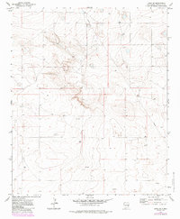
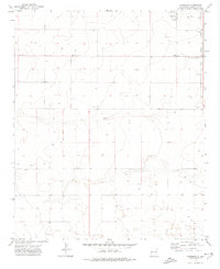
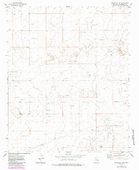
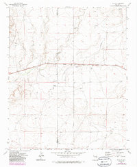
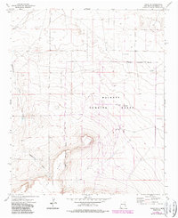
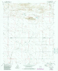
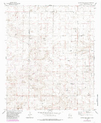
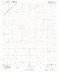
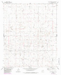
Editions of this 1957 Arch Map
3 editions found
Historical Maps of Arch Through Time
205 maps found
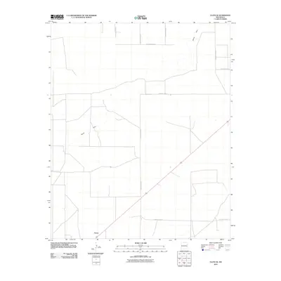
1957 Arch
Roosevelt County, NM
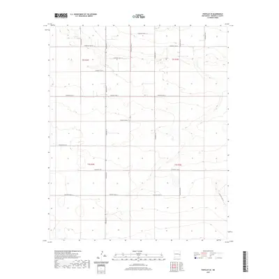
1970 Bledsoe NE
Roosevelt County, NM
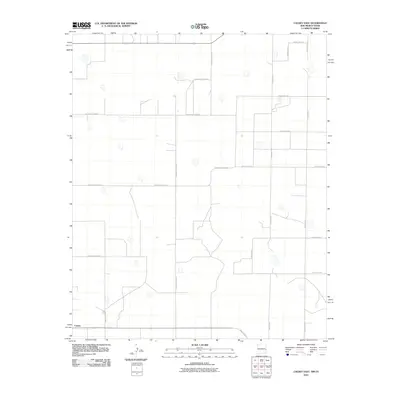
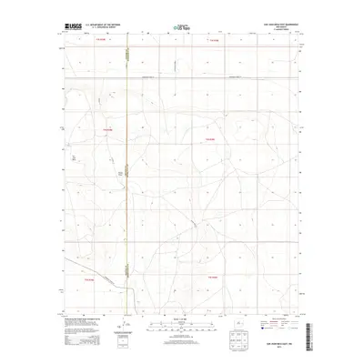
1970 Causey East
Roosevelt County, NM
1970 Lingo
Roosevelt County, NM
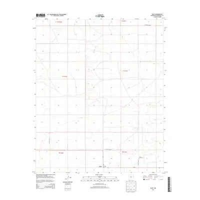
1972 Bluit
Roosevelt County, NM
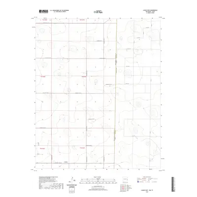
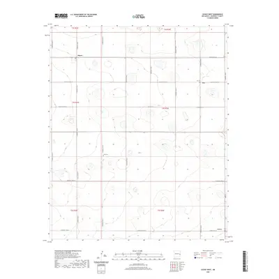
1972 Causey West
Roosevelt County, NM
1972 Dora NW
Roosevelt County, NM
1972 Dora SW
Roosevelt County, NM
1972 Garrison
Roosevelt County, NM
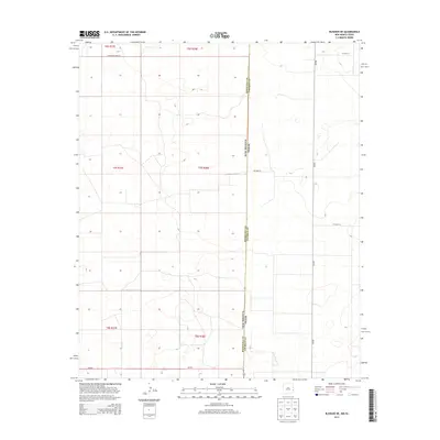
1972 Milnesand NW
Roosevelt County, NM
1972 Milnesand
Roosevelt County, NM
1972 Pep
Roosevelt County, NM
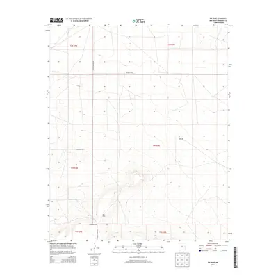
1973 Floyd SE
Roosevelt County, NM
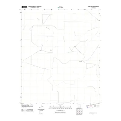
1973 Gammil Well NE
Roosevelt County, NM
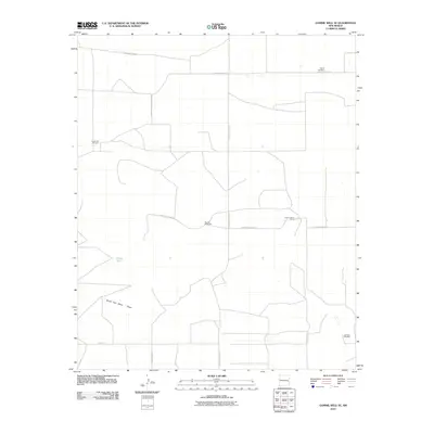
1973 Gammil Well SE
Roosevelt County, NM
1973 House SE
Roosevelt County, NM
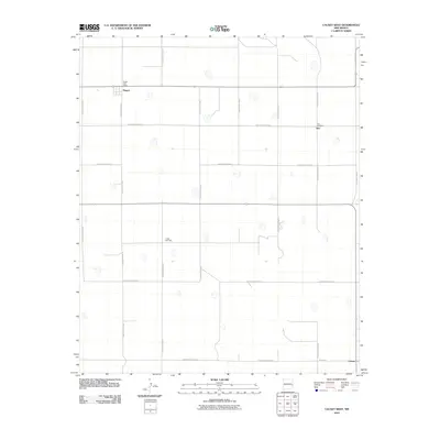
1973 Krider
Roosevelt County, NM
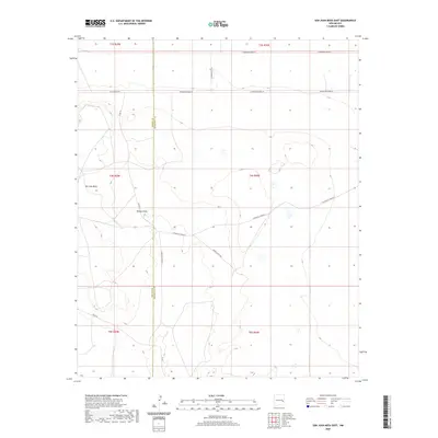
1973 Lewiston Lake
Roosevelt County, NM
1973 Peach Canyon
Roosevelt County, NM
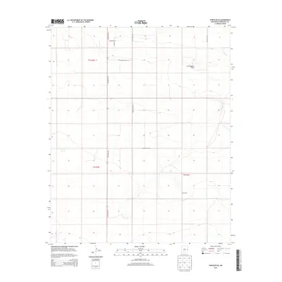
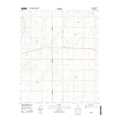
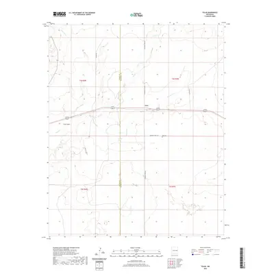
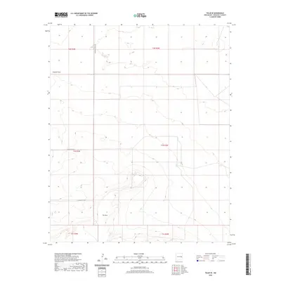
1973 Tolar
Roosevelt County, NM
1973 Tolar SE
Roosevelt County, NM
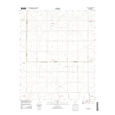
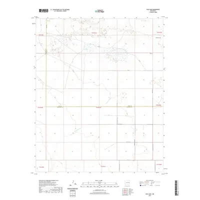
1973 Tule Lake
Roosevelt County, NM
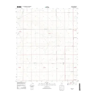
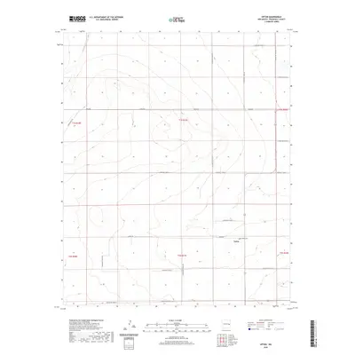
1973 Upton
Roosevelt County, NM
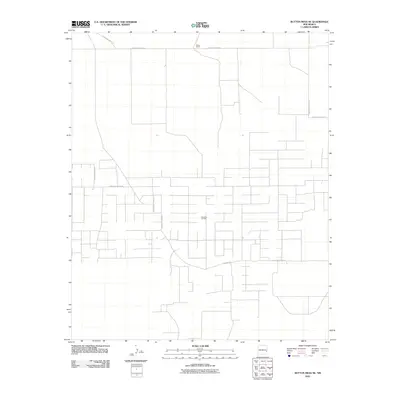
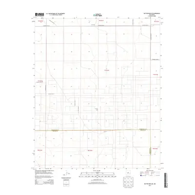
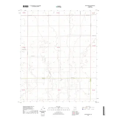
1978 Button Mesa North
Roosevelt County, NM
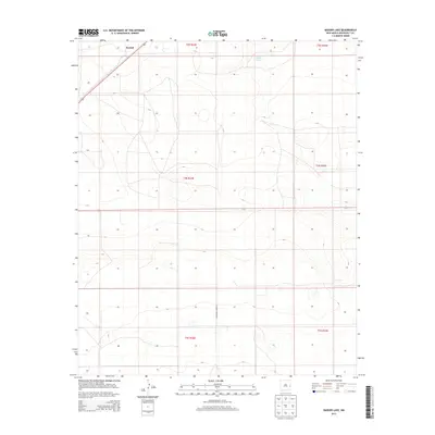
1979 Badger Lake
Roosevelt County, NM
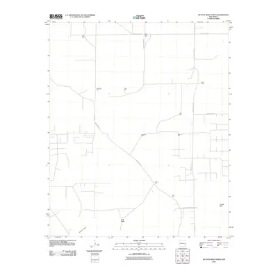
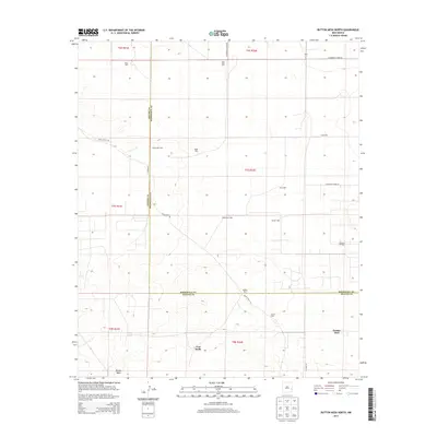
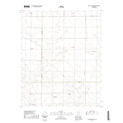
1979 Button Mesa NE
Roosevelt County, NM
1979 Elida SE
Roosevelt County, NM
1979 San Juan Mesa East
Roosevelt County, NM
1979 Schram Lake
Roosevelt County, NM
1985 Arch NE
Roosevelt County, NM
1985 Arch NW
Roosevelt County, NM
1985 Arch
Roosevelt County, NM
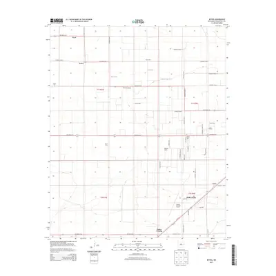
1985 Bethel
Roosevelt County, NM
1985 Delphos
Roosevelt County, NM
1985 Portales SE
Roosevelt County, NM
2010 Arch NE
Roosevelt County, NM
2010 Arch NW
Roosevelt County, NM
2010 Arch
Roosevelt County, NM
2010 Badger Lake
Roosevelt County, NM
2010 Bethel
Roosevelt County, NM
2010 Bledsoe NE
Roosevelt County, NM
2010 Bluit
Roosevelt County, NM
2010 Button Mesa NE
Roosevelt County, NM
2010 Button Mesa North
Roosevelt County, NM
2010 Causey East
Roosevelt County, NM
2010 Causey West
Roosevelt County, NM
2010 Delphos
Roosevelt County, NM
2010 Dora NW
Roosevelt County, NM
2010 Dora SW
Roosevelt County, NM
2010 Elida SE
Roosevelt County, NM
2010 Floyd SE
Roosevelt County, NM
2010 Gammil Well NE
Roosevelt County, NM
2010 Gammil Well SE
Roosevelt County, NM
2010 Garrison
Roosevelt County, NM
2010 House SE
Roosevelt County, NM
2010 Krider
Roosevelt County, NM
2010 Lewiston Lake
Roosevelt County, NM
2010 Lingo
Roosevelt County, NM
2010 Milnesand NW
Roosevelt County, NM
2010 Milnesand
Roosevelt County, NM
2010 Peach Canyon
Roosevelt County, NM
2010 Pep
Roosevelt County, NM
2010 Portales SE
Roosevelt County, NM
2010 San Juan Mesa East
Roosevelt County, NM
2010 Schram Lake
Roosevelt County, NM
2010 Tolar
Roosevelt County, NM
2010 Tolar SE
Roosevelt County, NM
2010 Tule Lake
Roosevelt County, NM
2010 Upton
Roosevelt County, NM
2013 Arch NE
Roosevelt County, NM
2013 Arch NW
Roosevelt County, NM

2013 Arch
Roosevelt County, NM
2013 Badger Lake
Roosevelt County, NM
2013 Bethel
Roosevelt County, NM
2013 Bledsoe NE
Roosevelt County, NM
2013 Bluit
Roosevelt County, NM
2013 Button Mesa NE
Roosevelt County, NM
2013 Button Mesa North
Roosevelt County, NM
2013 Causey East
Roosevelt County, NM
2013 Causey West
Roosevelt County, NM

2013 Delphos
Roosevelt County, NM
2013 Dora NW
Roosevelt County, NM
2013 Dora SW
Roosevelt County, NM
2013 Elida SE
Roosevelt County, NM
2013 Floyd SE
Roosevelt County, NM
2013 Gammil Well NE
Roosevelt County, NM
2013 Gammil Well SE
Roosevelt County, NM
2013 Garrison
Roosevelt County, NM
2013 House SE
Roosevelt County, NM
2013 Krider
Roosevelt County, NM
2013 Lewiston Lake
Roosevelt County, NM
2013 Lingo
Roosevelt County, NM
2013 Milnesand NW
Roosevelt County, NM
2013 Milnesand
Roosevelt County, NM
2013 Peach Canyon
Roosevelt County, NM
2013 Pep
Roosevelt County, NM
2013 Portales SE
Roosevelt County, NM
2013 San Juan Mesa East
Roosevelt County, NM
2013 Schram Lake
Roosevelt County, NM
2013 Tolar
Roosevelt County, NM
2013 Tolar SE
Roosevelt County, NM
2013 Tule Lake
Roosevelt County, NM
2013 Upton
Roosevelt County, NM
2017 Arch NE
Roosevelt County, NM
2017 Arch NW
Roosevelt County, NM
2017 Arch
Roosevelt County, NM
2017 Badger Lake
Roosevelt County, NM
2017 Bethel
Roosevelt County, NM
2017 Bledsoe NE
Roosevelt County, NM
2017 Bluit
Roosevelt County, NM
2017 Button Mesa NE
Roosevelt County, NM
2017 Button Mesa North
Roosevelt County, NM
2017 Causey East
Roosevelt County, NM
2017 Causey West
Roosevelt County, NM
2017 Delphos
Roosevelt County, NM
2017 Dora NW
Roosevelt County, NM
2017 Dora SW
Roosevelt County, NM
2017 Elida SE
Roosevelt County, NM
2017 Floyd SE
Roosevelt County, NM
2017 Gammil Well NE
Roosevelt County, NM
2017 Gammil Well SE
Roosevelt County, NM
2017 Garrison
Roosevelt County, NM
2017 House SE
Roosevelt County, NM
2017 Krider
Roosevelt County, NM
2017 Lewiston Lake
Roosevelt County, NM
2017 Lingo
Roosevelt County, NM
2017 Milnesand NW
Roosevelt County, NM
2017 Milnesand
Roosevelt County, NM
2017 Peach Canyon
Roosevelt County, NM
2017 Pep
Roosevelt County, NM
2017 Portales SE
Roosevelt County, NM
2017 San Juan Mesa East
Roosevelt County, NM
2017 Schram Lake
Roosevelt County, NM
2017 Tolar
Roosevelt County, NM
2017 Tolar SE
Roosevelt County, NM
2017 Tule Lake
Roosevelt County, NM
2017 Upton
Roosevelt County, NM
2020 Arch NE
Roosevelt County, NM
2020 Arch NW
Roosevelt County, NM
2020 Arch
Roosevelt County, NM
2020 Badger Lake
Roosevelt County, NM
2020 Bethel
Roosevelt County, NM
2020 Bledsoe NE
Roosevelt County, NM
2020 Bluit
Roosevelt County, NM
2020 Button Mesa NE
Roosevelt County, NM
2020 Button Mesa North
Roosevelt County, NM
2020 Causey East
Roosevelt County, NM
2020 Causey West
Roosevelt County, NM
2020 Delphos
Roosevelt County, NM
2020 Dora NW
Roosevelt County, NM
2020 Dora SW
Roosevelt County, NM
2020 Elida SE
Roosevelt County, NM
2020 Floyd SE
Roosevelt County, NM
2020 Gammil Well NE
Roosevelt County, NM
2020 Gammil Well SE
Roosevelt County, NM
2020 Garrison
Roosevelt County, NM
2020 House SE
Roosevelt County, NM
2020 Krider
Roosevelt County, NM
2020 Lewiston Lake
Roosevelt County, NM
2020 Lingo
Roosevelt County, NM
2020 Milnesand NW
Roosevelt County, NM
2020 Milnesand
Roosevelt County, NM
2020 Peach Canyon
Roosevelt County, NM
2020 Pep
Roosevelt County, NM
2020 Portales SE
Roosevelt County, NM
2020 San Juan Mesa East
Roosevelt County, NM
2020 Schram Lake
Roosevelt County, NM
2020 Tolar
Roosevelt County, NM
2020 Tolar SE
Roosevelt County, NM
2020 Tule Lake
Roosevelt County, NM
2020 Upton
Roosevelt County, NM
2023 Arch NE
Roosevelt County, NM
2023 Arch NW
Roosevelt County, NM
2023 Arch
Roosevelt County, NM
2023 Badger Lake
Roosevelt County, NM
2023 Bethel
Roosevelt County, NM
2023 Bledsoe NE
Roosevelt County, NM
2023 Bluit
Roosevelt County, NM
2023 Button Mesa NE
Roosevelt County, NM
2023 Button Mesa North
Roosevelt County, NM
2023 Causey East
Roosevelt County, NM
2023 Causey West
Roosevelt County, NM
2023 Delphos
Roosevelt County, NM
2023 Dora NW
Roosevelt County, NM
2023 Dora SW
Roosevelt County, NM
2023 Elida SE
Roosevelt County, NM
2023 Floyd SE
Roosevelt County, NM
2023 Gammil Well NE
Roosevelt County, NM
2023 Gammil Well SE
Roosevelt County, NM
2023 Garrison
Roosevelt County, NM
2023 House SE
Roosevelt County, NM
2023 Krider
Roosevelt County, NM
2023 Lewiston Lake
Roosevelt County, NM
2023 Lingo
Roosevelt County, NM
2023 Milnesand NW
Roosevelt County, NM
2023 Milnesand
Roosevelt County, NM
2023 Peach Canyon
Roosevelt County, NM
2023 Pep
Roosevelt County, NM
2023 Portales SE
Roosevelt County, NM
2023 San Juan Mesa East
Roosevelt County, NM
2023 Schram Lake
Roosevelt County, NM
2023 Tolar
Roosevelt County, NM
2023 Tolar SE
Roosevelt County, NM
2023 Tule Lake
Roosevelt County, NM
2023 Upton
Roosevelt County, NM