
1957 Map of Portair
USGS Topo · Published 1958About this map
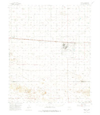
Cannon Air Force Base dominates the central landscape of this High Plains survey, positioned just south of the vital Atchison Topeka and Santa Fe railroad line. The map captures a period of military and logistical significance in Curry Co, where the air base is detailed with its runway layout and an adjacent Golf Course. Small rural settlements like St Vrain, Grier, Portair, and Gallaher string along the rail corridor, marking the historical importance of the iron horse in Eastern New Mexico's development.
Find a feature on this map
15 named features on this map. Tap any name to fly to it.
Don’t see what you’re looking for? This feature index may not catch every label — zoom into the map to look around manually.
Map Details
Editions of this 1957 Portair Map
2 editions found
Other maps of this area

1954 · Clovis
USGS Topo · 1:250,000

1957 · Melrose
USGS Topo · 1:62,500

1957 · Clovis
USGS Topo · 1:62,500

1957 · Arch
USGS Topo · 1:62,500

1957 · Portales
USGS Topo · 1:62,500

1957 · Pleasant Hill
USGS Topo · 1:62,500

1957 · Hammond Ranch
USGS Topo · 1:62,500

1958 · Clovis
USGS Topo · 1:250,000

1972 · Melrose East
USGS Topo · 1:24,000

1973 · Floyd
USGS Topo · 1:24,000