
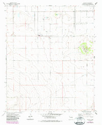
1973 Map of Floyd
USGS Topo · Published 1975About this map
The agricultural landscape of Roosevelt County is centered around Floyd, appearing here in the early 1970s. The settlement pattern is defined by a rigid grid of section lines, reflecting the organized homesteading and farming history of the High Plains. Local landmarks such as the Cem and Central Ch mark the community's spiritual and social hubs, while the terrain is punctuated by distinctive depressions including Tierra Blanca Lake, Gregory Lake, and Smith Lake.
Find a feature on this map
15 named features on this map. Tap any name to fly to it.
Don’t see what you’re looking for? This feature index may not catch every label — zoom into the map to look around manually.
Map Details
Editions of this 1973 Floyd Map
2 editions found
Other maps of this area

1954 · Clovis
USGS Topo · 1:250,000

1957 · Portair
USGS Topo · 1:62,500

1957 · Melrose
USGS Topo · 1:62,500

1957 · Portales
USGS Topo · 1:62,500

1958 · Clovis
USGS Topo · 1:250,000

1973 · Lewiston Lake
USGS Topo · 1:24,000

1973 · Tule Lake
USGS Topo · 1:24,000

1973 · Upton
USGS Topo · 1:24,000

1973 · Floyd SE
USGS Topo · 1:24,000
1973 · Melrose SE
USGS Topo · 1:24,000