
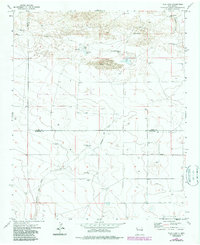
1973 Map of Tule Lake
USGS Topo · Published 1975About this map
High plains ranching life in eastern New Mexico is recorded here during the early 1970s. The landscape is defined by its scarce water sources and the large-scale holdings typical of the region, including the Hart Ranch and Steele Ranch. The presence of numerous named water points such as East Sweet Well, Brown Well, and Little Blue Well underscores the critical importance of groundwater for livestock in this arid environment.
Find a feature on this map
25 named features on this map. Tap any name to fly to it.
Don’t see what you’re looking for? This feature index may not catch every label — zoom into the map to look around manually.
Map Details
Editions of this 1973 Tule Lake Map
2 editions found
Other maps of this area

1954 · Clovis
USGS Topo · 1:250,000

1957 · Melrose
USGS Topo · 1:62,500

1958 · Clovis
USGS Topo · 1:250,000

1972 · Melrose East
USGS Topo · 1:24,000

1973 · Floyd
USGS Topo · 1:24,000

1973 · Krider
USGS Topo · 1:24,000

1973 · Melrose West
USGS Topo · 1:24,000

1973 · Gammil Well NE
USGS Topo · 1:24,000

1973 · Upton
USGS Topo · 1:24,000
1973 · Melrose SE
USGS Topo · 1:24,000