Old Maps of Roosevelt County, New Mexico for Metal Detecting
Plan your next treasure hunt with 65 historic maps of Roosevelt County. Find old homesites, ghost towns, trails, and gathering spots that may be lost to time — perfect for identifying promising metal detecting locations.
- Locate forgotten sites: Uncover places like long-lost settlements, abandoned rail lines, or gathering spots.
- Plan better hunts: Use map overlays combined with LiDAR or satellite views to narrow in on historically rich areas.
- Made for detectorists: Thousands of hobbyists use these maps to discover relics, coins, and hidden history.
Use these historic maps to boost your research and find new opportunities beneath the surface of Roosevelt County.
Roosevelt County, NM maps
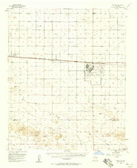
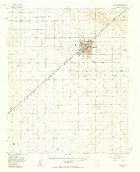
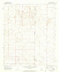
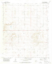
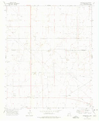
(65)- 1954 Map of Clovis, 1966 Print
 1954 Clovis1966 Print · USGSCovers Roosevelt County, including Clovis, Hereford, and other nearby areas4 unique versions available
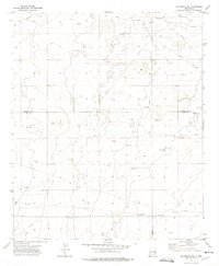
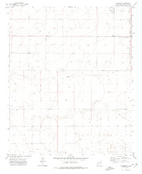
 - 1954 Map of Brownfield, 1975 Print
 1954 Brownfield1975 Print · USGSCovers Roosevelt County, including Lubbock, Levelland, and other nearby areas2 unique versions available
 - 1957 Map of Portair, 1958 Print
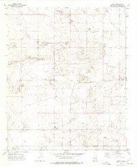
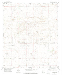
 1957 Portair1958 Print · USGSCovers Roosevelt County, including Clovis, Cannon AFB, and other nearby areas2 unique versions available
 - 1957 Map of Melrose, 1958 Print
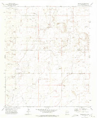
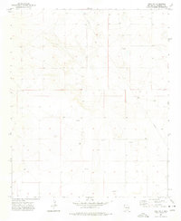
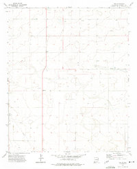
 1957 Melrose1958 Print · USGSCovers Roosevelt County, including Melrose, Cantara, and other nearby areas
 - 1957 Map of Clovis, 1958 Print
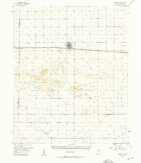
 1957 Clovis1958 Print · USGSCovers Roosevelt County, including Clovis, Farwell, and other nearby areas3 unique versions available
 - 1957 Map of Arch, 1958 Print
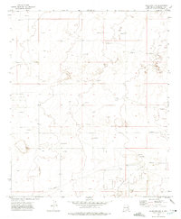
 1957 Arch1958 Print · USGSCovers Roosevelt County, including Arch, Bailey County, and other nearby areas3 unique versions available
 - 1957 Map of Portales, 1958 Print
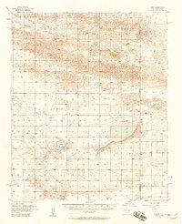
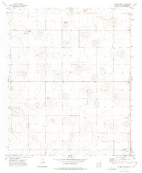
 1957 Portales1958 Print · USGSCovers Roosevelt County, including Portales, Floyd, and other nearby areas2 unique versions available
 - 1958 Map of Brownfield
 1958 Brownfield1958 Print · USGSCovers Roosevelt County, including Lubbock, Levelland, and other nearby areas
 - 1958 Map of Clovis
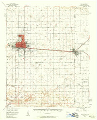
 1958 Clovis1958 Print · USGSCovers Roosevelt County, including Clovis, Hereford, and other nearby areas
 - 1962 Map of Brownfield
 1962 Brownfield1962 Print · USGSCovers Roosevelt County, including Lubbock, Levelland, and other nearby areas
 - 1970 Map of Lingo, 1972 Print
 1970 Lingo1972 Print · USGSCovers Roosevelt County, including Causey, Lingo, and other nearby areas
 - 1970 Map of Bledsoe, 1973 Print
 1970 Bledsoe1973 Print · USGSCovers Roosevelt County, including Bledsoe, Lea County, and other nearby areas
 - 1970 Map of Causey East, 1973 Print
 1970 Causey East1973 Print · USGSCovers Roosevelt County, including Causey, Bailey County, and other nearby areas
 - 1970 Map of Bledsoe NE, 1973 Print
 1970 Bledsoe NE1973 Print · USGSCovers Roosevelt County, including Cochran County, United States, and other nearby areas
 - 1972 Map of Milnesand SW, 1975 Print
 1972 Milnesand SW1975 Print · USGSCovers Roosevelt County, including Lea County, United States, and other nearby areas2 unique versions available
 - 1972 Map of Bluit, 1975 Print
 1972 Bluit1975 Print · USGSCovers Roosevelt County, including Bluit, United States, and other nearby areas2 unique versions available
 - 1972 Map of Bledsoe SW, 1975 Print
 1972 Bledsoe SW1975 Print · USGSCovers Roosevelt County, including Lea County, United States, and other nearby areas2 unique versions available
 - 1972 Map of Dora NW, 1975 Print
 1972 Dora NW1975 Print · USGSCovers Roosevelt County, including United States, New Mexico, and other nearby areas2 unique versions available
 - 1972 Map of Garrison, 1975 Print
 1972 Garrison1975 Print · USGSCovers Roosevelt County, including Causey, Garrison, and other nearby areas
 - 1972 Map of Milnesand, 1975 Print
 1972 Milnesand1975 Print · USGSCovers Roosevelt County, including Milnesand, United States, and other nearby areas2 unique versions available
 - 1972 Map of Dora SW, 1975 Print
 1972 Dora SW1975 Print · USGSCovers Roosevelt County, including United States, New Mexico, and other nearby areas2 unique versions available
 - 1972 Map of Crossroads, 1975 Print
 1972 Crossroads1975 Print · USGSCovers Roosevelt County, including Crossroads, Lea County, and other nearby areas
 - 1972 Map of Pep, 1975 Print
 1972 Pep1975 Print · USGSCovers Roosevelt County, including Pep, Richland, and other nearby areas
 - 1972 Map of Causey West, 1975 Print
 1972 Causey West1975 Print · USGSCovers Roosevelt County, including Causey, Rogers, and other nearby areas2 unique versions available
 - 1972 Map of Milnesand NW, 1975 Print
 1972 Milnesand NW1975 Print · USGSCovers Roosevelt County, including United States, New Mexico, and other nearby areas2 unique versions available
Showing maps 1-25 of 65
Top cities of Roosevelt County
- Portales historical maps
- Elida historical maps
- Dora historical maps
- Floyd historical maps
- Causey historical maps
Frequently asked questions
- What are the different types of historical maps available for Roosevelt County?
- What is the oldest map of Roosevelt County?
- Where can I purchase historical maps of Roosevelt County for my home or office?
- Where can I download high-res historical maps of Roosevelt County?
- Are there historical topographic maps available for Roosevelt County?
- Is there historical aerial imagery available for Roosevelt County?
- Where are historical maps of Roosevelt County sourced from?