2020s Maps of Roosevelt County, New Mexico
Explore 108 historic maps of Roosevelt County from the 2020s. These maps offer a rare glimpse into what life looked like during the 2020s — showing old roads, neighborhoods, homes, and landmarks that have changed or disappeared over time.
Whether you're researching your family's past, planning a metal detecting trip, or studying how Roosevelt County's landscape evolved across the 2020s, these high-resolution maps are a powerful tool for exploring the history of this region.
- Focus on a specific era: All maps on this page are from the 2020s, giving you a focused view of this time period.
- See what’s changed: Compare century-old streets, trails, and buildings to today's modern landscape using overlays and satellite layers.
- Research with precision: Use these maps for genealogy, historical research, land use analysis, or educational projects.
- View, download, or print: Maps are fully viewable online in high resolution, and can be downloaded or printed for your own records.
Start exploring Roosevelt County's history through authentic maps from the 2020s. This is your window into the past.
Roosevelt County, NM maps
(108)- 2020 Map of Portales SE, 2020 Print
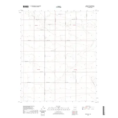 2020 Portales SE2020 Print · USGSHigh plains agriculture and a precise road grid define this portion of Roosevelt County in the twenty-first century. Genealogists and local historians can trace property boundaries and rural access along Dora Main St, S Roosevelt Rd P, and S Roosevelt Rd S.
 - 2020 Map of Gammil Well NE, 2020 Print
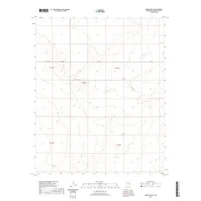 2020 Gammil Well NE2020 Print · USGSRoosevelt County's high plains are captured here in the contemporary era, showing a landscape of ranch roads and mesas. Genealogists and local historians can locate Benison Cem and trace routes along Price Ranch Rd and Cañada del Tule.
 - 2020 Map of Peach Canyon, 2020 Print
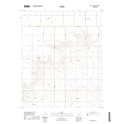 2020 Peach Canyon2020 Print · USGSEastern New Mexico's tri-county borderlands are documented here in the early twenty-first century, showing the intersection of Quay, De Baca, and Roosevelt Counties. Researchers can trace the path of Sand Cr and find secluded water sources like Peach Canyon Spring and Bull Tank Spring.
 - 2020 Map of Portair SW, 2020 Print
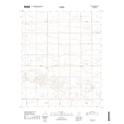 2020 Portair SW2020 Print · USGSEastern New Mexico's High Plains are shown in detail during the early twenty-first century, structured by a precise grid of rural section lines. Genealogists can trace property locations and boundaries along Curry Road V, Baseline Rd, and the Curry Co Roosevelt Co line.
 - 2020 Map of Krider, 2020 Print
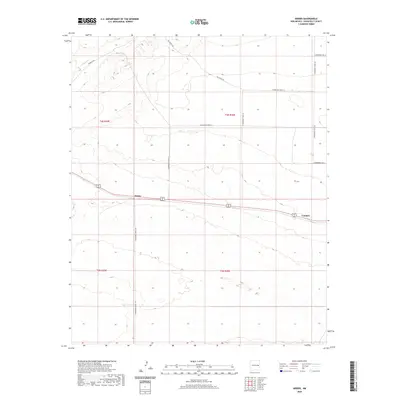 2020 Krider2020 Print · USGSRoosevelt County rangeland remains a landscape of scattered settlements and section-line roads in this contemporary survey of eastern New Mexico. Trace local history through the proximity of Krider and Cantara or the remote drainage of Alamosa Cr.
 - 2020 Map of Rippee Ranch, 2020 Print
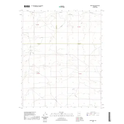 2020 Rippee Ranch2020 Print · USGSSoutheast New Mexico ranching country is documented here in the recent decade, showing a landscape of scattered family holdings and high-plains draws. Researchers can locate the Liston Cem and the namesake Rippee Ranch among a network of local routes like Tinnie Rd.
 - 2020 Map of Lewiston Lake, 2020 Print
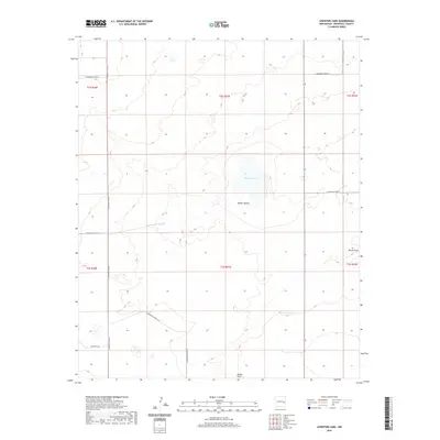 2020 Lewiston Lake2020 Print · USGSRoosevelt County's high plains are captured in this modern survey of the area surrounding the secluded Lewiston Lake. Genealogists and local historians can trace property boundaries and rural access routes like S Roosevelt Road 14 and the drainage at Boone Draw.
 - 2020 Map of House SE, 2020 Print
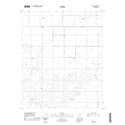 2020 House SE2020 Print · USGSEastern New Mexico ranching country is shown here in the 2020s, where the high plains meet the winding draws of Alamosa Cr. Landowners and researchers can trace rural boundaries and naming conventions along Hill Ranch Rd and Franklin Rd.
 - 2020 Map of Tolar SE, 2020 Print
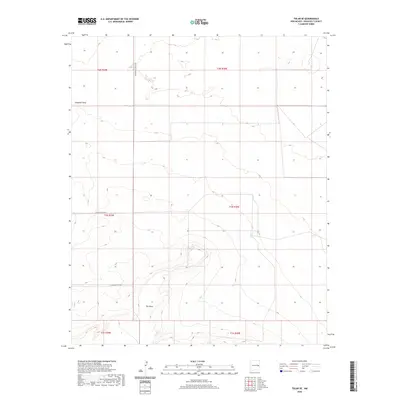 2020 Tolar SE2020 Print · USGSEastern New Mexico's high plains are documented in the modern era, showing where the rural road grid meets the escarpment. Researchers can trace the path of Chapman Draw and the distinct contours of The Mesa along N Roosevelt Road 3.
 - 2020 Map of Arch NE, 2020 Print
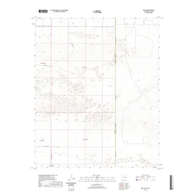 2020 Arch NE2020 Print · USGSEastern New Mexico meets the Texas Panhandle in this recent survey of the High Plains ranching country. Researchers can trace the intersection of state lines and section grids along S Roosevelt Road A and the expansive Portales Valley.
 - 2020 Map of Gammil Well SE, 2020 Print
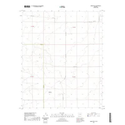 2020 Gammil Well SE2020 Print · USGSThe High Plains border of Chaves and Roosevelt counties comes into focus in this recent survey. Local historians and genealogists can trace the rural landscape via landmarks like the Ingram Cem and vital water features such as Elkins Tank.
 - 2020 Map of Tolar SW, 2020 Print
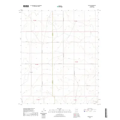 2020 Tolar SW2020 Print · USGSHigh plains ranching country in Roosevelt County is captured here in the early twenty-first century, showing the grid-based settlement of the New Mexico interior. Researchers can trace land divisions along De Baca County and identify landmarks like White Mesa and Wagon Wheel Rd.
 - 2020 Map of Midway, 2020 Print
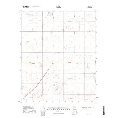 2020 Midway2020 Print · USGSThe high plains of eastern New Mexico are documented here in 2020, revealing the intersection of agriculture and industry. Genealogists and local historians can trace property lines and rural routes surrounding Midway, Cameo, and the unique Swift-Plant-Rd.
 - 2020 Map of Milnesand NW, 2020 Print
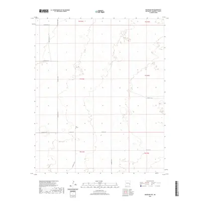 2020 Milnesand NW2020 Print · USGSRoosevelt County's High Plains are shown in this contemporary digital survey, revealing a landscape defined by an orderly grid of ranch roads and township boundaries. Genealogists and local historians can locate Eagle Hill Cem and trace the local routes such as State Hwy 258 and S Roosevelt Road Z.
 - 2020 Map of Arch, 2020 Print
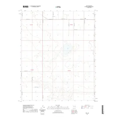 2020 Arch2020 Print · USGSArch and the surrounding Roosevelt County plains are captured here in the contemporary era. Researchers can locate family sites and local history at the Arch Cem and Eiland Cem, or trace the rural road grid near Little Salt Lake.
 - 2020 Map of Pep, 2020 Print
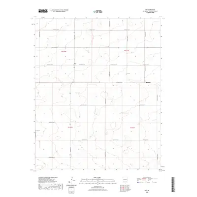 2020 Pep2020 Print · USGSRoosevelt County's high plains are revealed in this modern survey of the agricultural landscape surrounding Pep and Richland. Genealogists and local historians can locate family burial sites at Richland Cem and New Hope Cem along the grid of rural section roads.
 - 2020 Map of San Juan Mesa East, 2020 Print
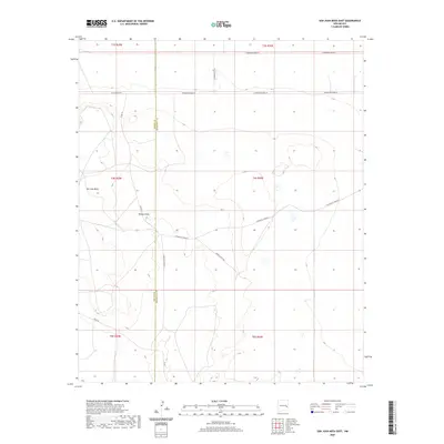 2020 San Juan Mesa East2020 Print · USGSThe Chaves and Roosevelt county line bisects this New Mexico ranching landscape in the early twenty-first century. Researchers can trace the rugged contours of San Juan Mesa and follow the paths of Boone Ranch Rd and Falsey Draw.
 - 2020 Map of Causey West, 2020 Print
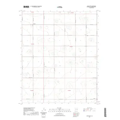 2020 Causey West2020 Print · USGSEastern New Mexico in the early twenty-first century reveals a landscape defined by its agricultural grid and quiet rural junctions. Researchers can locate family landmarks such as Inez Cem and Longs Cem near the settlements of Rogers and Causey.
 - 2020 Map of Pleasure Lake, 2020 Print
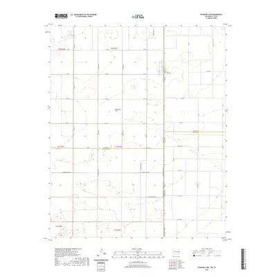 2020 Pleasure Lake2020 Print · USGSThe High Plains borderlands of New Mexico and Texas are mapped here during the early twenty-first century. Genealogists and local historians can trace the intersection of four counties and locate landmarks like Mount Olivet Cem and the waters of Pleasure Lake.
 - 2020 Map of Elida SE, 2020 Print
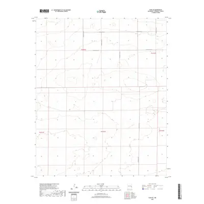 2020 Elida SE2020 Print · USGSEastern New Mexico's ranching and agricultural heartland is documented here in the early twenty-first century. Researchers can trace the precise grid of section-line roads and township boundaries like T5S R33E, S Roosevelt Road 27, and S Roosevelt Road Ag.
 - 2020 Map of Badger Lake, 2020 Print
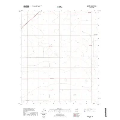 2020 Badger Lake2020 Print · USGSEastern Roosevelt County is captured here in the early twenty-first century, showcasing the expansive ranching lands of the High Plains. Researchers can trace the rural grid along S Roosevelt Road 25 and locate the settlement of Kermit near Badger Lake.
 - 2020 Map of Milnesand SW, 2020 Print
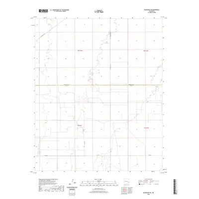 2020 Milnesand SW2020 Print · USGSThe borderlands of Roosevelt and Lea counties are captured in this modern survey of the High Plains ranching country. Researchers can trace rural property lines and access routes like Vada Lee, Crow Rd, and S Roosevelt Road Y.
 - 2020 Map of Floyd SE, 2020 Print
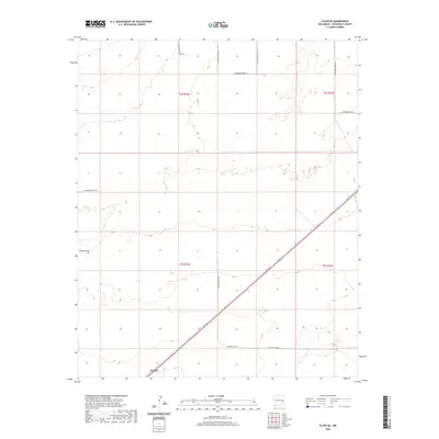 2020 Floyd SE2020 Print · USGSKermit and the surrounding Llano Estacado plains are captured here in the contemporary era. Researchers can trace the intersection of rural life and geography along Boone Draw and the extensive grid of S Roosevelt Road 17.
 - 2020 Map of Arch NW, 2020 Print
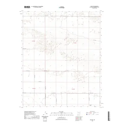 2020 Arch NW2020 Print · USGSRoosevelt County in the early twenty-first century remains a landscape of high plains ranching and grid-based land management. Researchers can trace the section-line roads of the Portales Valley system, including Blackwater Rd and S Roosevelt Road 4.
 - 2020 Map of Milnesand, 2020 Print
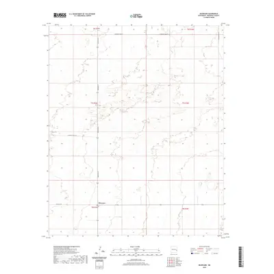 2020 Milnesand2020 Print · USGSThe High Plains of Roosevelt County are captured here in the modern era, centered on the small community of Milnesand. Researchers can trace the rural road network including Dora Main St and State Hwy 258 across the ranching landscape.
Showing maps 1-25 of 108
Top cities of Roosevelt County
- Portales historical maps
- Elida historical maps
- Dora historical maps
- Floyd historical maps
- Causey historical maps
Frequently asked questions
- What are the different types of historical maps available for Roosevelt County?
- What is the oldest map of Roosevelt County?
- Where can I purchase historical maps of Roosevelt County for my home or office?
- Where can I download high-res historical maps of Roosevelt County?
- Are there historical topographic maps available for Roosevelt County?
- Is there historical aerial imagery available for Roosevelt County?
- Where are historical maps of Roosevelt County sourced from?