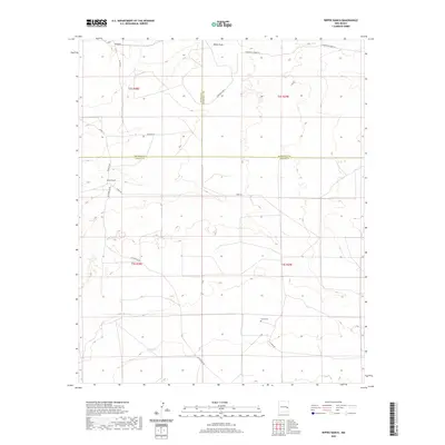
2020 Map of Rippee Ranch
USGS Topo · Published 2020About this map
White Draw cuts through the northern landscape of this corner of Southeast New Mexico, marking a region defined by ranching and high-plains geography. The namesake Rippee Ranch sits near the intersection of Patricio Dr and Tinnie Rd, illustrating the dispersed settlement pattern of this rural territory. A rare genealogical marker, Liston Cem, is situated along Tinnie Rd to the south, providing a focal point for family history research in a sparse terrain. The map details a network of county roads including Adobe Rd, Feather Rd, and San Patricio Rd, which connect isolated water features like Silas Tank. The intersection of three county boundaries—De Baca, Roosevelt, and Chaves—converges here, highlighting the administrative complexity of this remote area.
Find a feature on this map
20 named features on this map. Tap any name to fly to it.
Don’t see what you’re looking for? This feature index may not catch every label — zoom into the map to look around manually.
Map Details
Editions of this 2020 Rippee Ranch Map
This is the sole edition of this map. No revisions or reprints were ever made.
Other maps of this area

1954 · Fort Sumner
USGS Topo · 1:250,000

1954 · Clovis
USGS Topo · 1:250,000

1954 · Brownfield
USGS Topo · 1:250,000

1955 · Roswell
USGS Topo · 1:250,000

1958 · Brownfield
USGS Topo · 1:250,000

1958 · Fort Sumner
USGS Topo · 1:250,000

1958 · Clovis
USGS Topo · 1:250,000

1958 · Roswell
USGS Topo · 1:250,000

1962 · Roswell
USGS Topo · 1:250,000

1962 · Brownfield
USGS Topo · 1:250,000