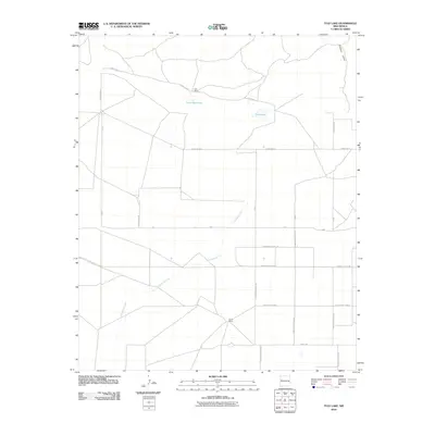
2010 Map of Tule Lake
USGS Topo · Published 2010About this map
Tule Lake and its smaller neighbor, Little Tule Lake, sit at the heart of this High Plains landscape in Curry County during the early 21st century. The map reveals a highly structured grid of section lines and rural thoroughfares, including Base Line and Sundale Valley Rd, which define the agricultural order of the region. This geometric pattern is interrupted by the natural drainage of Cañada del Tule, a seasonal watercourse that snakes northwest through the territory. Named ranching homesteads such as Hart Ranch and Steele Ranch are the primary markers of habitation, illustrating the legacy of large-scale landholdings in this part of New Mexico. In the far northeast, Fiddlers Draw cuts across the plains toward the county line, showing the subtle relief of a terrain largely dedicated to cattle and crops.
Find a feature on this map
24 named features on this map. Tap any name to fly to it.
Don’t see what you’re looking for? This feature index may not catch every label — zoom into the map to look around manually.
Map Details
Editions of this 2010 Tule Lake Map
This is the sole edition of this map. No revisions or reprints were ever made.
Other maps of this area

1954 · Clovis
USGS Topo · 1:250,000

1957 · Melrose
USGS Topo · 1:62,500

1958 · Clovis
USGS Topo · 1:250,000

1972 · Melrose East
USGS Topo · 1:24,000

1973 · Floyd
USGS Topo · 1:24,000

1973 · Krider
USGS Topo · 1:24,000

1973 · Melrose West
USGS Topo · 1:24,000

1973 · Tule Lake
USGS Topo · 1:24,000

1973 · Gammil Well NE
USGS Topo · 1:24,000

1973 · Upton
USGS Topo · 1:24,000