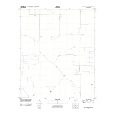
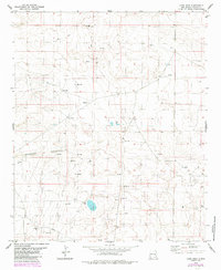
2010 Map of Button Mesa North
USGS Topo · Published 2010About this map
Button Mesa rises above a desert landscape defined by isolated water sources and a network of remote ranch roads. Surveyed in the early 21st century, the terrain is dotted with named water points such as Boatwright Well, Baliff Well, and Vest Wells, which serve as critical landmarks for local land management and ranching. The presence of these named wells, including Gallina Well and Blackstock Well, suggests a reliance on groundwater for the survival of the livestock and residents in this arid portion of Chaves County.
Find a feature on this map
21 named features on this map. Tap any name to fly to it.
Don’t see what you’re looking for? This feature index may not catch every label — zoom into the map to look around manually.
Map Details
Editions of this 2010 Button Mesa North Map
This is the sole edition of this map. No revisions or reprints were ever made.
Other maps of this area

1954 · Brownfield
USGS Topo · 1:250,000

1958 · Brownfield
USGS Topo · 1:250,000

1962 · Brownfield
USGS Topo · 1:250,000

1978 · Flying M Ranch
USGS Topo · 1:24,000

1978 · Button Mesa North
USGS Topo · 1:24,000

1979 · Kenna
USGS Topo · 1:24,000
1979 · Schram Lake
USGS Topo · 1:24,000
1979 · Curlew Lake SE
USGS Topo · 1:24,000
1979 · Elida SE
USGS Topo · 1:24,000
1979 · Lone Wolf
USGS Topo · 1:24,000