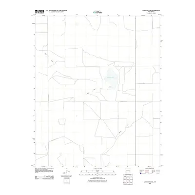
2010 Map of Lewiston Lake
USGS Topo · Published 2010About this map
Lewiston Lake sits at the center of this High Plains landscape, a depression that defines the local drainage patterns in eastern Roosevelt County. The surrounding terrain is marked by the distinct impressions of Rabbit Hollow and the long course of Boone Draw, features that represent the natural hydrology of the Llano Estacado. This U.S. Geological Survey sheet reveals a highly structured rural grid, where the movement of people and commerce is dictated by an extensive system of section-line roads, including S Roosevelt Road AP and S Roosevelt Road 13. The sparse settlement pattern and the prominence of these specific named water features and depressions suggest a land primarily used for ranching or large-scale agriculture, where named landmarks are few but vital for navigation.
Find a feature on this map
10 named features on this map. Tap any name to fly to it.
Don’t see what you’re looking for? This feature index may not catch every label — zoom into the map to look around manually.
Map Details
Editions of this 2010 Lewiston Lake Map
This is the sole edition of this map. No revisions or reprints were ever made.
Other maps of this area

1954 · Clovis
USGS Topo · 1:250,000

1954 · Brownfield
USGS Topo · 1:250,000

1958 · Brownfield
USGS Topo · 1:250,000

1958 · Clovis
USGS Topo · 1:250,000

1962 · Brownfield
USGS Topo · 1:250,000

1973 · Floyd
USGS Topo · 1:24,000

1973 · Lewiston Lake
USGS Topo · 1:24,000

1973 · Gammil Well SE
USGS Topo · 1:24,000

1973 · Gammil Well NE
USGS Topo · 1:24,000

1973 · Upton
USGS Topo · 1:24,000