Old Maps of Archuleta, New Mexico
Explore 14 old maps of Archuleta, spanning from 1889 to today. These high-resolution historic maps reveal how streets, neighborhoods, landmarks, and natural features evolved over time — perfect for genealogy, metal detecting, research, and local history exploration.
What you can do with these maps:
- See how Archuleta changed over time: Compare historical maps to modern-day views to trace roads, homesites, rail lines & more.
- View detailed metadata: Each map includes creators, publishers, year, scale, and archive source.
- Overlay maps with satellite & LiDAR: Visualize the past alongside modern tools to explore terrain & human change.
- Trusted historical sources: Maps sourced from the USGS, Library of Congress, and other archives.
- Access maps your way: View online, download high-res files, or order prints for personal or research use.
Start exploring old maps of Archuleta to uncover forgotten places, hidden landmarks, and the deep history beneath your feet.
Archuleta, NM maps
(14)- 1889 Map of Largo
 1889 Largo1889 Print · USGSNorthwestern New Mexico in the late nineteenth century shows a vast network of desert canyons and river valleys before modern development. Genealogists and researchers can trace early settlements like Bloomfield and Largo or locate landmarks such as Angels Peak and the remote Stinking Lakes Sinks.
 - 1895 Map of Largo, 1897 Print
 1895 Largo1897 Print · USGSNorthwestern New Mexico appears as a rugged frontier of canyons and high peaks in the years before statehood. Researchers can trace early settlements at Bloomfield and Largo or locate iconic landmarks such as El Huerfano and the headwaters of Canon Largo.3 unique versions available
 - 1954 Map of Aztec, 1975 Print
 1954 Aztec1975 Print · USGSNorthern New Mexico and southern Colorado come alive in the mid-1950s, showing the high-country settlements and tribal lands of the San Juan Basin. Genealogists and historians can trace the path of the Denver & Rio Grande Western RR and locate communities like Abiquiu, Park View, and Lumberton.4 unique versions available
 - 1958 Map of Aztec
 1958 Aztec1958 Print · USGSNorthern New Mexico and the southern Colorado border are captured here during the mid-fifties, showing the rugged intersection of national forests and tribal lands. Researchers can trace the Denver and Rio Grande Western rail line and locate remote outposts like Blanco Trading Post or Sargent Ranch.
 - 1959 Map of Navajo Dam, 1962 Print
 1959 Navajo Dam1962 Print · USGSThe San Juan River valley was entering an era of massive change in the late fifties as the construction of the Navajo Dam began. Researchers can trace the early footprints of Navajo City and Archuleta, as well as rural landmarks like Benito Sch and the Cem before the reservoir waters rose.2 unique versions available
 - 1962 Map of Aztec
 1962 Aztec1962 Print · USGSNorthwestern New Mexico in the early sixties showcases a landscape defined by the arrival of the Navajo Reservoir and the high-altitude timber of the Carson National Forest. Trace the path of the Denver & Rio Grande Western RR or locate historic settlements like Tierra Amarilla and Gobernador.
 - 1965 Map of Aztec
 1965 Aztec1965 Print · USGSNorthern New Mexico and southern Colorado come alive in the mid-sixties, from the San Juan Basin to the high Jemez Mountains. Trace the narrow-gauge Denver & Rio Grande Western RR through Monero or locate old outposts like Blanco Trading Post.
 - 1980 Map of Navajo Reservoir, 1981 Print
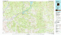 1980 Navajo Reservoir1981 Print · USGSThe high desert and river valleys of Rio Arriba and San Juan counties are captured here in the early eighties. Genealogists and local historians can trace the development of Aztec and Bloomfield or locate family sites along Gubernador Canyon and the Animas River.
 - 1985 Map of Archuleta
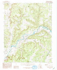 1985 Archuleta1985 Print · USGSNorthwestern New Mexico's river-fed canyons and mesa lands are captured here in the mid-1980s. Local researchers can trace old irrigation routes along Citizens Ditch and locate family-named landmarks like Martinez and Melquiadis Point.
 - 2010 Map of Archuleta, 2010 Print
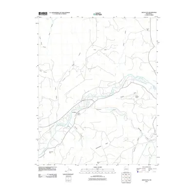 2010 Archuleta2010 Print · USGSSan Juan County at the end of the first decade of the 2000s shows the convergence of river life and the energy industry. Researchers can trace the layout of Archuleta, locate the Navajo Dam Post Office, or map the canyons leading to Manzanares Mesa.
 - 2013 Map of Archuleta, 2013 Print
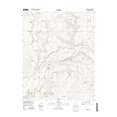 2013 Archuleta2013 Print · USGSArchuleta and the San Juan River valley are captured here in the early twenty-first century as centers of water management and energy production. Researchers can locate the Navajo Dam infrastructure, trace the San Juan Basin Field, and find natural landmarks like the Gobernador Canyon Arch.
 - 2017 Map of Archuleta, 2017 Print
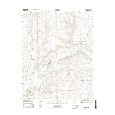 2017 Archuleta2017 Print · USGSThe high mesas of San Juan County are captured here in the late 2010s, centered on the engineering of the Navajo Dam. Researchers can trace the layout of Archuleta and locate area landmarks like Navajo Lake Airport and the Gobernador Canyon Arch.
 - 2020 Map of Archuleta, 2020 Print
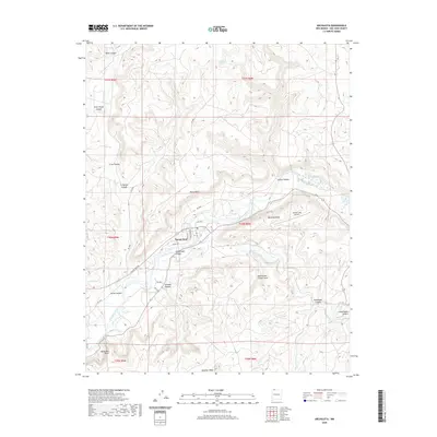 2020 Archuleta2020 Print · USGSThe San Juan River valley and Navajo Dam are captured in this recent survey of northern New Mexico. Researchers can locate remote landmarks like the Gobernador Canyon Arch, trace the Navajo Lake Airport, and explore the high reaches of Baltazar Peak.
 - 2023 Map of Archuleta, 2023 Print
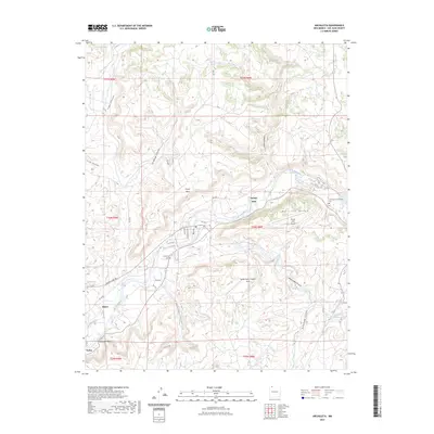 2023 Archuleta2023 Print · USGSSan Juan County’s river-carved landscape is documented here in the early twenty-first century, showing the enduring communities along the northern river banks. You can trace family history at the Archuleta Cem or explore the area’s unique geology at the Gobernador Canyon Arch.
End of results
Showing maps 1-14 of 14
Top cities near Archuleta
Frequently asked questions
- What are the different types of historical maps available for Archuleta?
- What is the oldest map of Archuleta?
- Where can I purchase historical maps of Archuleta for my home or office?
- Where can I download high-res historical maps of Archuleta?
- Are there historical topographic maps available for Archuleta?
- Is there historical aerial imagery available for Archuleta?
- Where are historical maps of Archuleta sourced from?