Old Maps of San Geronimo, New Mexico for Genealogy
Trace your family roots with 13 historic maps of San Geronimo. These high-res maps reveal old neighborhoods, homesites, landmarks, and streets — helping you uncover where your ancestors lived and how the area evolved over time.
- Explore historic neighborhoods: Identify where your relatives may have lived in the 1800s or 1900s.
- Compare maps over time: Trace the changes in streets, buildings, and landmarks for multi-generational research.
- Perfect for genealogy & ancestry research: Used by family historians and researchers to map out lineage and migration.
These maps are an incredible resource for exploring your personal connection to San Geronimo's past.
San Geronimo, NM maps
(13)- 1889 Map of Las Vegas, 1953 Print
 1889 Las Vegas1953 Print · USGSNorthern New Mexico in the late nineteenth century is documented here as the railroad brought new life to the high plains. Researchers can trace the early layout of Las Vegas, find the strategic site of Fort Union, and locate vanished plazas like Loma Parda.
 - 1891 Map of Las Vegas
 1891 Las Vegas1891 Print · USGSNorthern New Mexico's transition from frontier outposts to a rail-connected territory is visible in this survey from the late nineteenth century. Genealogists and historians can trace the foundations of Las Vegas and its connection to Fort Union and Hot Springs.
 - 1893 Map of Las Vegas
 1893 Las Vegas1893 Print · USGSSan Miguel and Mora counties are captured here in the final decade of the nineteenth century as the railroad transformed the territory. Trace early travel routes through Las Vegas and locate historic outposts like Fort Union and La Cueva.5 unique versions available
 - 1954 Map of Santa Fe, 1963 Print
 1954 Santa Fe1963 Print · USGSNew Mexico's high mountains and eastern plains meet in the mid-fifties, showing a landscape defined by the Sangre de Cristo Mountains and the Pecos River. Trace family roots and local history through San Christobal Church, Sena School, and the historic Las Vegas rail corridor.4 unique versions available
 - 1958 Map of Santa Fe
 1958 Santa Fe1958 Print · USGSThe Sangre De Cristo Mountains meet the high plains in the late 1950s, showing a landscape defined by rail corridors and ranching. Genealogists can trace family-named sites like Upton Ranch or visit the Fort Union (Ruins) and Tuloso School.
 - 1961 Map of San Geronimo, 1965 Print
 1961 San Geronimo1965 Print · USGSSan Miguel County ranching and forest lands are captured here in the early 1960s. Genealogists and researchers can locate the San Geronimo settlement, the local Cem, and family landmarks such as Shearer Ranch and Fisher Hill.2 unique versions available
 - 1983 Map of Santa Fe, 1984 Print
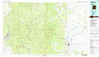 1983 Santa Fe1984 Print · USGSThe high Sangre de Cristo Mountains and the growing state capital define this early 1980s landscape during a period of expanding infrastructure. Researchers can trace historic land patterns and transit routes from Nambe Pueblo and Glorieta Pass to the Atchison Topeka and Santa Fe RR line.
 - 2002 Map of San Geronimo, 2003 Print
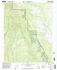 2002 San Geronimo2003 Print · USGSSan Miguel County settlements and high forest terrain are captured here at the turn of the millennium. Genealogists and hikers can trace the rural layout of San Geronimo and San Pablo, or locate landmarks like Mineral Hill and the Lookout Tower near Bartilas Peak.
 - 2011 Map of San Geronimo, 2011 Print
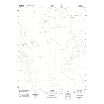 2011 San Geronimo2011 Print · USGSSan Miguel County ranching and mining country is captured here during the early twenty-first century. Family history researchers and hikers can trace landmarks from Mineral Hill to San Geronimo, including sites like Geronimo Cemetery and San Pablo Cemetery.
 - 2013 Map of San Geronimo, 2013 Print
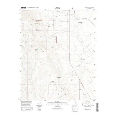 2013 San Geronimo2013 Print · USGSUpper San Miguel County in the early twenty-first century remains a landscape of high-mountain peaks and tucked-away ranching settlements. Researchers can locate remote landmarks like Shearer Ranch or trace family history at the San Geronimo Cem and San Pablo Cem.
 - 2017 Map of San Geronimo, 2017 Print
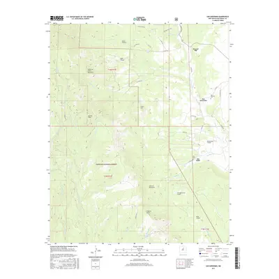 2017 San Geronimo2017 Print · USGSThe eastern foothills of the Sangre de Cristo Mountains come into focus in the late 2010s, showing the enduring valley settlements of San Miguel County. Family historians can trace local roots through the San Geronimo Cem and San Pablo Cem, or locate landmarks like Barillas Spring and the heights of Mineral Hill.
 - 2020 Map of San Geronimo, 2020 Print
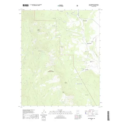 2020 San Geronimo2020 Print · USGSHigh mountain peaks and small valley settlements define San Miguel County during this recent survey. Researchers can locate the San Geronimo Cem, trace the waters of Tecolote Cr, and explore the rugged boundaries of the Santa Fe National Forest.
 - 2023 Map of San Geronimo, 2023 Print
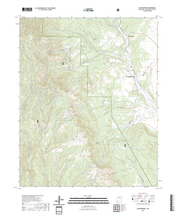 2023 San Geronimo2023 Print · USGSSan Miguel County ranching country is captured here during the early twenty-first century as the mountain landscape meets high-desert settlements. Researchers can trace local heritage through the San Geronimo Cem and follow the routes of Martinez Ranch Rd near Mineral Hill.
End of results
Showing maps 1-13 of 13
Top cities near San Geronimo
Frequently asked questions
- What are the different types of historical maps available for San Geronimo?
- What is the oldest map of San Geronimo?
- Where can I purchase historical maps of San Geronimo for my home or office?
- Where can I download high-res historical maps of San Geronimo?
- Are there historical topographic maps available for San Geronimo?
- Is there historical aerial imagery available for San Geronimo?
- Where are historical maps of San Geronimo sourced from?