2000s (21st Century) Maps of La Placita, New Mexico
Explore 6 historic maps of La Placita from the 2000s (21st Century). These maps offer a rare glimpse into what life looked like during the 2000s — showing old roads, neighborhoods, homes, and landmarks that have changed or disappeared over time.
Whether you're researching your family's past, planning a metal detecting trip, or studying how La Placita's landscape evolved across the 2000s, these high-resolution maps are a powerful tool for exploring the history of this region.
- Focus on a specific era: All maps on this page are from the 2000s, giving you a focused view of this time period.
- See what’s changed: Compare century-old streets, trails, and buildings to today's modern landscape using overlays and satellite layers.
- Research with precision: Use these maps for genealogy, historical research, land use analysis, or educational projects.
- View, download, or print: Maps are fully viewable online in high resolution, and can be downloaded or printed for your own records.
Start exploring La Placita's history through authentic maps from the 2000s. This is your window into the past.
La Placita, NM maps
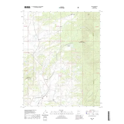
(6)- 2002 Map of Cuba, 2003 Print
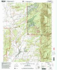 2002 Cuba2003 Print · USGSThe high mountain valley around Cuba is captured here during the early 2000s, showing the settlement's relationship to the forest and tribal lands. Researchers can trace local genealogy and civic history through the Santos Niños Ch, several Cems, and the High Sch.
 - 2011 Map of Cuba, 2011 Print
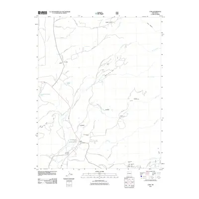 2011 Cuba2011 Print · USGSCovers La Placita, including Cuba, Upper La Jara, and other nearby areas
 - 2013 Map of Cuba, 2013 Print
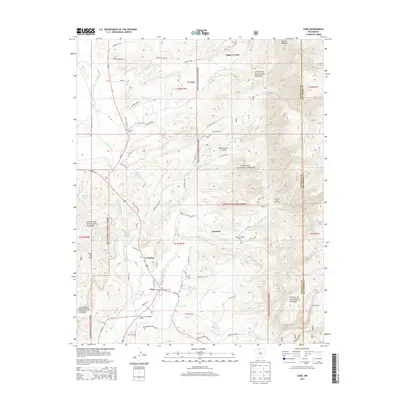 2013 Cuba2013 Print · USGSCovers La Placita, including Cuba, Upper La Jara, and other nearby areas
 - 2017 Map of Cuba, 2017 Print
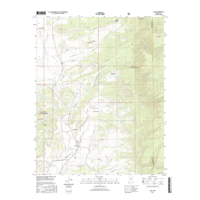 2017 Cuba2017 Print · USGSCovers La Placita, including Cuba, Upper La Jara, and other nearby areas
 - 2020 Map of Cuba, 2020 Print
 2020 Cuba2020 Print · USGSCovers La Placita, including Cuba, Upper La Jara, and other nearby areas
 - 2023 Map of Cuba, 2023 Print
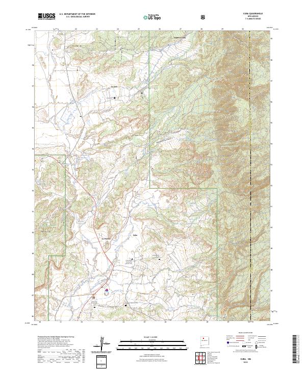 2023 Cuba2023 Print · USGSThe high mountain border between Sandoval and Rio Arriba counties comes alive on this recent survey of the Cuba valley. Researchers can pinpoint several local landmarks including the Cuba Baptist Ch, La Jara Cem, and the path of the Continental Divide National Scenic Trl.
End of results
Showing maps 1-6 of 6
Top cities near La Placita
Frequently asked questions
- What are the different types of historical maps available for La Placita?
- What is the oldest map of La Placita?
- Where can I purchase historical maps of La Placita for my home or office?
- Where can I download high-res historical maps of La Placita?
- Are there historical topographic maps available for La Placita?
- Is there historical aerial imagery available for La Placita?
- Where are historical maps of La Placita sourced from?