2000s (21st Century) Maps of Las Dos, New Mexico
Explore 6 historic maps of Las Dos from the 2000s (21st Century). These maps offer a rare glimpse into what life looked like during the 2000s — showing old roads, neighborhoods, homes, and landmarks that have changed or disappeared over time.
Whether you're researching your family's past, planning a metal detecting trip, or studying how Las Dos's landscape evolved across the 2000s, these high-resolution maps are a powerful tool for exploring the history of this region.
- Focus on a specific era: All maps on this page are from the 2000s, giving you a focused view of this time period.
- See what’s changed: Compare century-old streets, trails, and buildings to today's modern landscape using overlays and satellite layers.
- Research with precision: Use these maps for genealogy, historical research, land use analysis, or educational projects.
- View, download, or print: Maps are fully viewable online in high resolution, and can be downloaded or printed for your own records.
Start exploring Las Dos's history through authentic maps from the 2000s. This is your window into the past.
Las Dos, NM maps
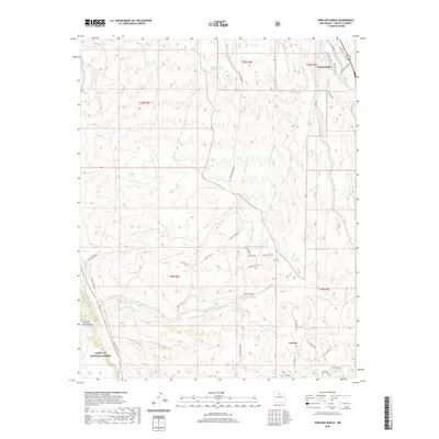
(6)- 2002 Map of Horcado Ranch, 2003 Print
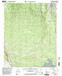 2002 Horcado Ranch2003 Print · USGSTraditional Pueblo land grants and rugged high-desert terrain dominate this Santa Fe area at the start of the millennium. Researchers can trace intricate reservation boundaries and remote landmarks like Horcado Ranch, the Norton Substation, and Las Dos.
 - 2011 Map of Horcado Ranch, 2011 Print
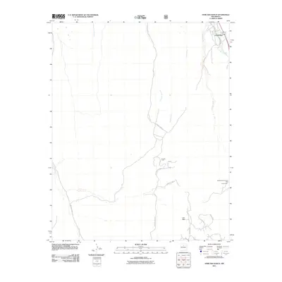 2011 Horcado Ranch2011 Print · USGSCovers Las Dos, including Cuyamungue, Santa Fe County, and other nearby areas
 - 2013 Map of Horcado Ranch, 2013 Print
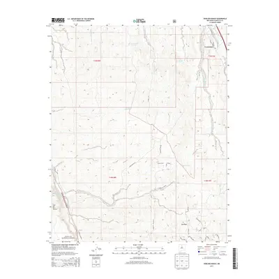 2013 Horcado Ranch2013 Print · USGSCovers Las Dos, including Cuyamungue, Santa Fe County, and other nearby areas
 - 2017 Map of Horcado Ranch, 2017 Print
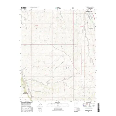 2017 Horcado Ranch2017 Print · USGSCovers Las Dos, including Cuyamungue, Santa Fe County, and other nearby areas
 - 2020 Map of Horcado Ranch, 2020 Print
 2020 Horcado Ranch2020 Print · USGSCovers Las Dos, including Cuyamungue, Santa Fe County, and other nearby areas
 - 2023 Map of Horcado Ranch, 2023 Print
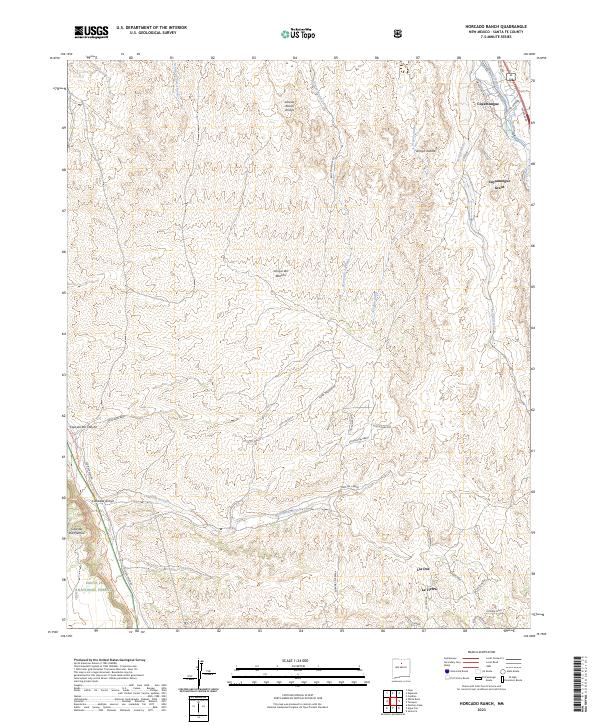 2023 Horcado Ranch2023 Print · USGSThe high desert north of Santa Fe comes into focus in this contemporary survey of the Cuyamungue Grant and the Santa Fe National Forest. Genealogists and historians can trace the Camino Real Trl and Old Buckman Rd through a landscape carved by the Calabasa Arroyo.
End of results
Showing maps 1-6 of 6
Top cities near Las Dos
- Santa Fe historical maps
- Los Alamos historical maps
- Espanola historical maps
- White Rock historical maps
Frequently asked questions
- What are the different types of historical maps available for Las Dos?
- What is the oldest map of Las Dos?
- Where can I purchase historical maps of Las Dos for my home or office?
- Where can I download high-res historical maps of Las Dos?
- Are there historical topographic maps available for Las Dos?
- Is there historical aerial imagery available for Las Dos?
- Where are historical maps of Las Dos sourced from?