Old Maps of Tesuque, New Mexico for Academic Research
Study the evolution of Tesuque with 12 high-resolution historic maps. Whether you're teaching, researching, or modeling changes in land use, these maps provide essential visual documentation of urban, environmental, and geographic change.
- Analyze long-term change: Track patterns in development, transportation, and natural features.
- Ideal for environmental or urban studies: Support academic projects with primary historical map data.
- Use in the classroom or lab: Educators and researchers rely on these maps to bring historical context to life.
These maps are a powerful tool for teaching, research, and visualizing how Tesuque has changed over the decades.
Tesuque, NM maps
(12)- 1889 Map of Santa Fe, 1963 Print
 1889 Santa Fe1963 Print · USGSSanta Fe and the surrounding high country appear here in the late nineteenth century as the railroad began transforming the territory. Genealogists and historians can trace early settlements like Santuario, identify family sites at Gonzales Ranch, and locate the historic Old Fort Marcy.
 - 1894 Map of Santa Fe
 1894 Santa Fe1894 Print · USGSSanta Fe and its surrounding high-country villages appear here during the territorial era of the late nineteenth century. Genealogists and historians can trace the routes of early railroads and locate specific landmarks like Old Fort Marcy, Gonzales Ranch, and Tesuque Pueblo.5 unique versions available
 - 1953 Map of Tesuque
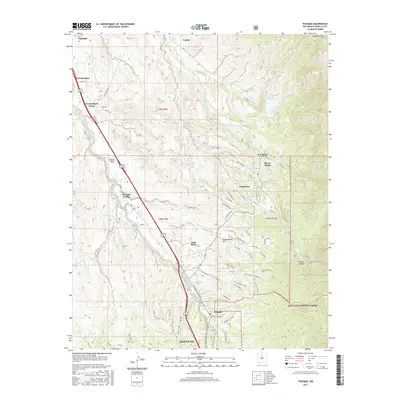
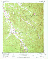 1953 Tesuque1953 Print · USGSNorth of Santa Fe in the early fifties, the high-desert landscape reveals a convergence of historic land grants and Pueblo life. Genealogists and historians can locate community centers like San Diego Ch, the Tesuque Pueblo Day Sch, and Rancho del Monte.6 unique versions available
 - 1954 Map of Santa Fe, 1963 Print
 1954 Santa Fe1963 Print · USGSNew Mexico's high mountains and eastern plains meet in the mid-fifties, showing a landscape defined by the Sangre de Cristo Mountains and the Pecos River. Trace family roots and local history through San Christobal Church, Sena School, and the historic Las Vegas rail corridor.4 unique versions available
 - 1958 Map of Santa Fe
 1958 Santa Fe1958 Print · USGSThe Sangre De Cristo Mountains meet the high plains in the late 1950s, showing a landscape defined by rail corridors and ranching. Genealogists can trace family-named sites like Upton Ranch or visit the Fort Union (Ruins) and Tuloso School.
 - 1983 Map of Santa Fe, 1984 Print
 1983 Santa Fe1984 Print · USGSThe high Sangre de Cristo Mountains and the growing state capital define this early 1980s landscape during a period of expanding infrastructure. Researchers can trace historic land patterns and transit routes from Nambe Pueblo and Glorieta Pass to the Atchison Topeka and Santa Fe RR line.
 - 2002 Map of Tesuque, 2003 Print
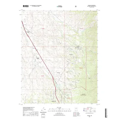
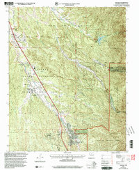 2002 Tesuque2003 Print · USGSTraditional Pueblo lands and historic Spanish grants meet in this northern New Mexico region at the turn of the millennium. Researchers can trace community landmarks like San Diego Ch, the Tesuque Pueblo Day School, and the iconic Camel Rock.
 - 2011 Map of Tesuque, 2011 Print
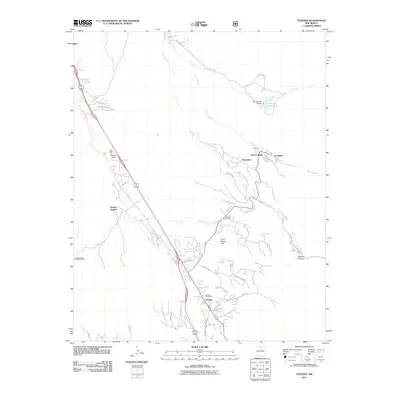 2011 Tesuque2011 Print · USGSCovers Tesuque, including Santa Fe, Rio En Medio`, and other nearby areas
 - 2013 Map of Tesuque, 2013 Print
 2013 Tesuque2013 Print · USGSCovers Tesuque, including Santa Fe, Rio En Medio`, and other nearby areas
 - 2017 Map of Tesuque, 2017 Print
 2017 Tesuque2017 Print · USGSCovers Tesuque, including Santa Fe, Rio En Medio`, and other nearby areas
 - 2020 Map of Tesuque, 2020 Print
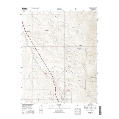
 2020 Tesuque2020 Print · USGSCovers Tesuque, including Santa Fe, Rio En Medio`, and other nearby areas
 - 2023 Map of Tesuque, 2023 Print
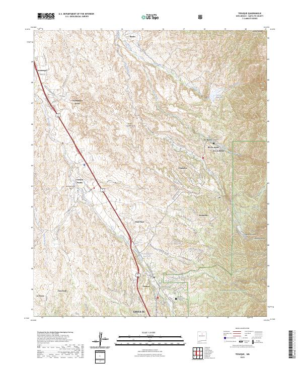 2023 Tesuque2023 Print · USGSSanta Fe County’s high desert and mountain foothills are captured in this contemporary survey of the ancestral lands surrounding Tesuque Pueblo. Genealogists and local historians can trace the Cuyamungue Grant, locate the San Isidro Catholic Cem, and follow the path of the Mitchell Ditch.
End of results
Showing maps 1-12 of 12
Top cities near Tesuque
Frequently asked questions
- What are the different types of historical maps available for Tesuque?
- What is the oldest map of Tesuque?
- Where can I purchase historical maps of Tesuque for my home or office?
- Where can I download high-res historical maps of Tesuque?
- Are there historical topographic maps available for Tesuque?
- Is there historical aerial imagery available for Tesuque?
- Where are historical maps of Tesuque sourced from?