Old Maps of Morine Place, New Mexico
Explore 10 old maps of Morine Place, spanning from 1954 to today. These high-resolution historic maps reveal how streets, neighborhoods, landmarks, and natural features evolved over time — perfect for genealogy, metal detecting, research, and local history exploration.
What you can do with these maps:
- See how Morine Place changed over time: Compare historical maps to modern-day views to trace roads, homesites, rail lines & more.
- View detailed metadata: Each map includes creators, publishers, year, scale, and archive source.
- Overlay maps with satellite & LiDAR: Visualize the past alongside modern tools to explore terrain & human change.
- Trusted historical sources: Maps sourced from the USGS, Library of Congress, and other archives.
- Access maps your way: View online, download high-res files, or order prints for personal or research use.
Start exploring old maps of Morine Place to uncover forgotten places, hidden landmarks, and the deep history beneath your feet.
Morine Place, NM maps
(10)- 1954 Map of Tularosa, 1963 Print
 1954 Tularosa1963 Print · USGSSouth-central New Mexico in the early fifties shows a landscape of desert basins and high peaks under heavy military and water-reclamation use. Trace the path of the Atchison Topeka and Santa Fe Railway past San Marcial and into the massive White Sands Proving Ground.4 unique versions available
 - 1958 Map of Tularosa
 1958 Tularosa1958 Print · USGSSouthern New Mexico in the late fifties shows a landscape of military expansion and deep-rooted river settlements. Trace family history in Truth or Consequences or locate the ruins of San Marcial and the remote Dusty Post Office.2 unique versions available
 - 1964 Map of Monica Saddle, 1966 Print
 1964 Monica Saddle1966 Print · USGSThe high-elevation backcountry of Socorro County was primarily managed as part of the Cibola National Forest in the mid-1960s. Researchers can trace the layout of the Durfee Ranch and locate remote landmarks like Monica Saddle and Morley Tank.
 - 1979 Map of San Mateo Mountains
 1979 San Mateo Mountains1979 Print · USGSCentral New Mexico’s high desert and mountain ranges are captured here in the late seventies, showing the remote ranching and mining country of Socorro County. Researchers can locate historic sites like Fort Craig (Ruins), the Continental Divide, and isolated settlements like Dusty and Monticello.2 unique versions available
 - 1995 Map of Monica Saddle, 1998 Print
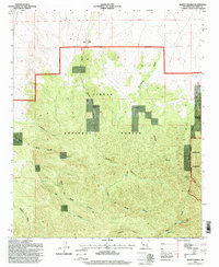 1995 Monica Saddle1998 Print · USGSSocorro County's high-elevation canyons and ranching outposts are meticulously documented during the mid-1990s. Researchers can trace historic water management at Walking Beam Windmill, the remote Durfee Ranch, and the primitive Monica Saddle area.
 - 2011 Map of Monica Saddle, 2011 Print
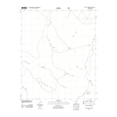 2011 Monica Saddle2011 Print · USGSSocorro County ranching and forest lands are captured here in the early twenty-first century, showing a landscape defined by vital water sources. Researchers can locate remote outposts like Morine Place and Durfee Ranch or trace the route of Old State Hwy 52 through Durfee Canyon.
 - 2013 Map of Monica Saddle, 2013 Print
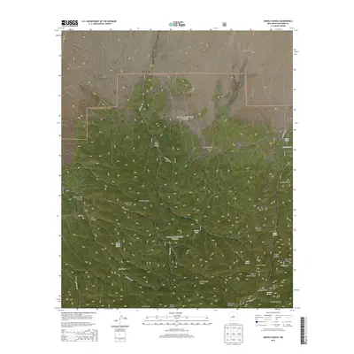 2013 Monica Saddle2013 Print · USGSSocorro County ranching and forest lands are captured here in the early twenty-first century as they were managed within the Cibola National Forest. Researchers can trace the water-dependent history of the area through landmarks like Morine Place, the Walking Beam Windmill, and Monica Spring.
 - 2017 Map of Monica Saddle, 2017 Print
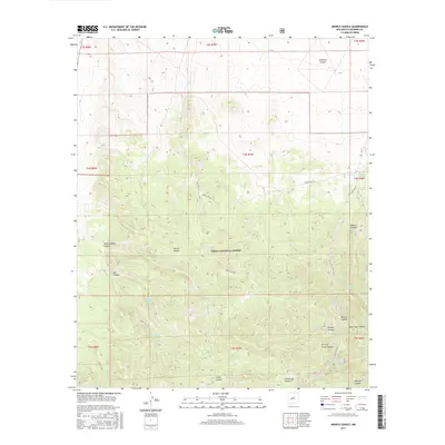 2017 Monica Saddle2017 Print · USGSSocorro County’s high forest terrain is documented here in the early twenty-first century, showing the essential water and road networks of the high desert. Researchers can trace historic access routes like Old State Hwy 52 and locate vital remote water sources including Beartrap Spring and Monica Tank.
 - 2020 Map of Monica Saddle, 2020 Print
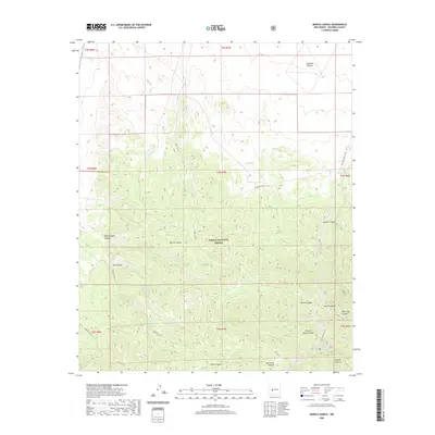 2020 Monica Saddle2020 Print · USGSSocorro County's high forest lands are documented here in the recent past, showing a complex system of canyons and remote water sources. Researchers can locate named features like Monica Saddle, Eagle Spring, and the path of Old State Hwy 52.
 - 2023 Map of Monica Saddle, 2023 Print
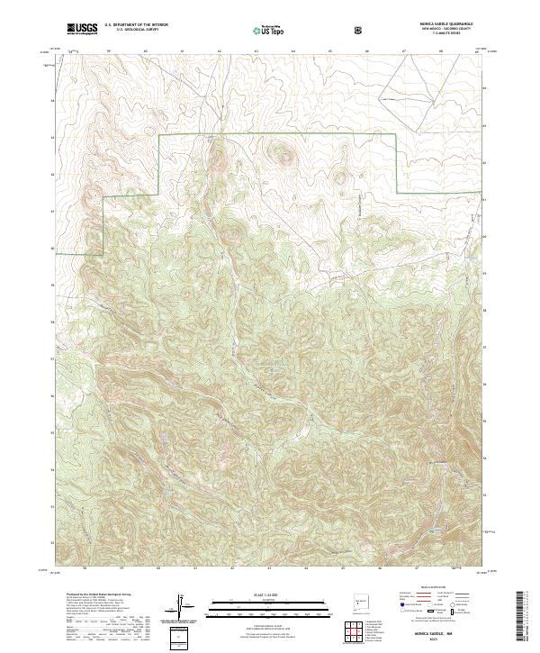 2023 Monica Saddle2023 Print · USGSSocorro County's high forest country is documented here in the early twenty-first century, showing a landscape of deep canyons and vital springs. Researchers can trace forest access routes and water sources like Monica Spring, Morley Tank, and Old State Hwy 52.
End of results
Showing maps 1-10 of 10
Frequently asked questions
- What are the different types of historical maps available for Morine Place?
- What is the oldest map of Morine Place?
- Where can I purchase historical maps of Morine Place for my home or office?
- Where can I download high-res historical maps of Morine Place?
- Are there historical topographic maps available for Morine Place?
- Is there historical aerial imagery available for Morine Place?
- Where are historical maps of Morine Place sourced from?