Old Maps of Chamisal, New Mexico for Hiking & Exploration
Hike through history with 10 historic maps of Chamisal. Explore old trails, ghost towns, and forgotten backroads — perfect for outdoor adventurers and local explorers.
- Rediscover forgotten places: Map out old mining camps, roads, and footpaths that no longer exist on modern maps.
- Layer with modern tools: Combine with LiDAR or satellite views to plan hikes through historical terrain.
- Made for exploration: Popular among hikers, overlanders, and local history lovers.
Use these maps to find adventure and explore the hidden past of Chamisal.
Chamisal, NM maps
(10)- 1954 Map of Raton, 1963 Print
 1954 Raton1963 Print · USGSNorthern New Mexico's high-country and plains are documented here in the early sixties, showing the region's ranching and mining infrastructure. Trace the legacy of the Maxwell Land Grant, locate remote rural sites like Tafoya School, and follow the Atchison Topeka and Santa Fe Railway through the heart of Raton.3 unique versions available
 - 1958 Map of Raton
 1958 Raton1958 Print · USGSNorthern New Mexico and the Colorado borderlands are mapped here in the late fifties, showcasing a landscape of high peaks and historic land grants. Genealogists and historians can trace families across Picuris Pueblo, find old schoolhouses like Piedra Lumbre School, or follow the Atchison Topeka and Santa Fe rail line.3 unique versions available
 - 1964 Map of Penasco, 1967 Print
 1964 Penasco1967 Print · USGSTaos County’s mountain valleys and land grants appear here in the mid-1960s, showing a landscape defined by community acequias and small settlements. Genealogists can trace family names through numerous cemeteries like Ramon Sanchez Cem and locate community anchors such as Picuris Pueblo and St Anthony Ch.2 unique versions available
 - 1983 Map of Taos
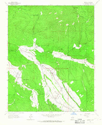
 1983 Taos1983 Print · USGSNorthern New Mexico's high-country heritage is on full display in the early eighties, from the deep river canyons to the highest alpine peaks. Genealogists and historians can trace traditional land-grant settlements like Las Trampas, Truchas, and the historic Taos Pueblo.2 unique versions available
 - 1995 Map of Penasco, 1997 Print
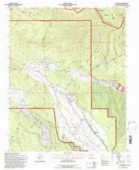 1995 Penasco1997 Print · USGSIn the Sangre de Cristo foothills during the mid-nineties, traditional acequia irrigation systems remained vital to village life. Genealogists and historians can trace the ancient Camino Real through Peñasco or locate the historic Picuris Pueblo and San Acacio chapel.
 - 2011 Map of Penasco, 2011 Print
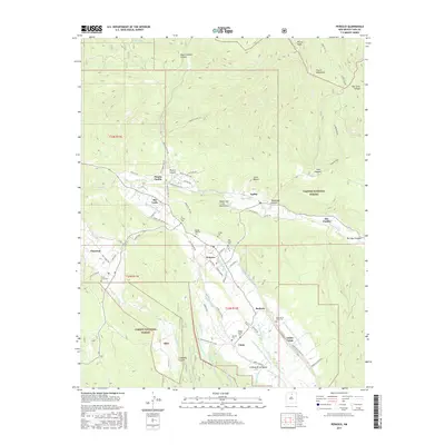
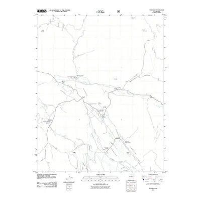 2011 Penasco2011 Print · USGSCovers Chamisal, including Rio Pueblo, Peñasco, and other nearby areas
 - 2013 Map of Penasco, 2013 Print
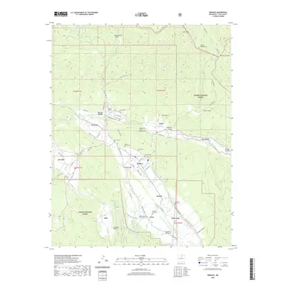
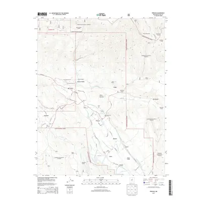 2013 Penasco2013 Print · USGSCovers Chamisal, including Rio Pueblo, Peñasco, and other nearby areas
 - 2017 Map of Penasco, 2017 Print
 2017 Penasco2017 Print · USGSCovers Chamisal, including Rio Pueblo, Peñasco, and other nearby areas
 - 2020 Map of Penasco, 2020 Print
 2020 Penasco2020 Print · USGSCovers Chamisal, including Rio Pueblo, Peñasco, and other nearby areas
 - 2023 Map of Penasco, 2023 Print
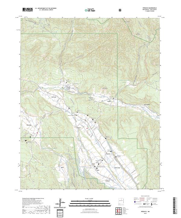 2023 Penasco2023 Print · USGSTaos County’s high mountain valleys are documented here in recent detail, showing the persistent irrigation networks of the Sangre de Cristos. Genealogists can locate family sites at the Picuris Pueblo Cem, Rodarte Cem, or the Presbyterian Cem.
End of results
Showing maps 1-10 of 10
Top cities near Chamisal
Frequently asked questions
- What are the different types of historical maps available for Chamisal?
- What is the oldest map of Chamisal?
- Where can I purchase historical maps of Chamisal for my home or office?
- Where can I download high-res historical maps of Chamisal?
- Are there historical topographic maps available for Chamisal?
- Is there historical aerial imagery available for Chamisal?
- Where are historical maps of Chamisal sourced from?