Old Maps of McGreggor Place, New Mexico for Hiking & Exploration
Hike through history with 9 historic maps of McGreggor Place. Explore old trails, ghost towns, and forgotten backroads — perfect for outdoor adventurers and local explorers.
- Rediscover forgotten places: Map out old mining camps, roads, and footpaths that no longer exist on modern maps.
- Layer with modern tools: Combine with LiDAR or satellite views to plan hikes through historical terrain.
- Made for exploration: Popular among hikers, overlanders, and local history lovers.
Use these maps to find adventure and explore the hidden past of McGreggor Place.
McGreggor Place, NM maps
(9)- 1954 Map of Raton, 1963 Print
 1954 Raton1963 Print · USGSNorthern New Mexico's high-country and plains are documented here in the early sixties, showing the region's ranching and mining infrastructure. Trace the legacy of the Maxwell Land Grant, locate remote rural sites like Tafoya School, and follow the Atchison Topeka and Santa Fe Railway through the heart of Raton.3 unique versions available
 - 1958 Map of Raton
 1958 Raton1958 Print · USGSNorthern New Mexico and the Colorado borderlands are mapped here in the late fifties, showcasing a landscape of high peaks and historic land grants. Genealogists and historians can trace families across Picuris Pueblo, find old schoolhouses like Piedra Lumbre School, or follow the Atchison Topeka and Santa Fe rail line.3 unique versions available
 - 1963 Map of Cerro De La Olla, 1967 Print
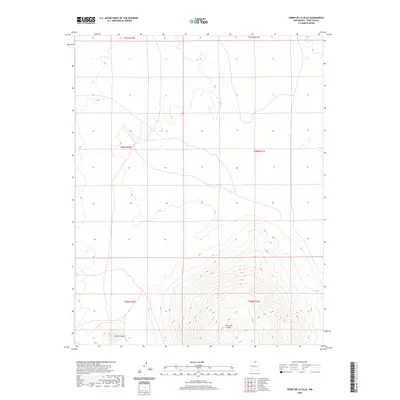
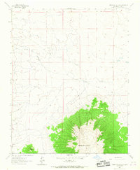 1963 Cerro De La Olla1967 Print · USGSThe high volcanic plateau of northern New Mexico is documented here in the early sixties, centered on the massive Cerro De La Olla. Genealogists and historians can trace local land markers like McGregor Place and the winding course of Arroyo Punche.
 - 1982 Map of Wheeler Peak, 1983 Print
 1982 Wheeler Peak1983 Print · USGSNorthern New Mexico in the early eighties shows a high-altitude landscape of historic mining camps and massive land grants. Researchers can trace the Old Railroad Grade near Elizabethtown or locate remote sites like the French-Henry Mine and Vermejo Park.
 - 2010 Map of Cerro De La Olla, 2010 Print
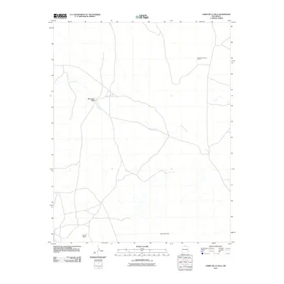 2010 Cerro De La Olla2010 Print · USGSCovers McGreggor Place, including Taos County, United States, and other nearby areas
 - 2013 Map of Cerro De La Olla, 2013 Print
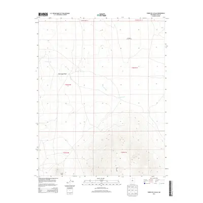 2013 Cerro De La Olla2013 Print · USGSCovers McGreggor Place, including Taos County, United States, and other nearby areas
 - 2017 Map of Cerro De La Olla, 2017 Print
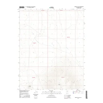 2017 Cerro De La Olla2017 Print · USGSCovers McGreggor Place, including Taos County, United States, and other nearby areas
 - 2020 Map of Cerro De La Olla, 2020 Print
 2020 Cerro De La Olla2020 Print · USGSCovers McGreggor Place, including Taos County, United States, and other nearby areas
 - 2023 Map of Cerro De La Olla, 2023 Print
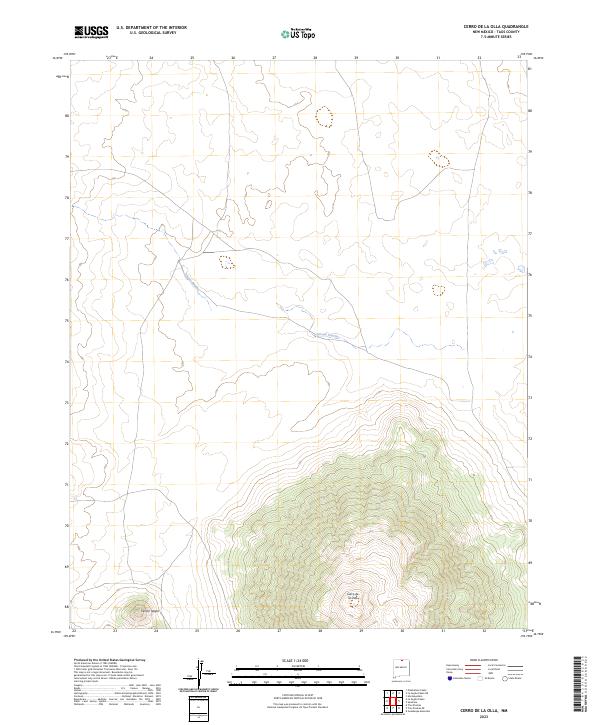 2023 Cerro De La Olla2023 Print · USGSNorthern New Mexico's volcanic high desert is preserved here in the early twenty-first century. Researchers can trace the landforms of the Río Grande del Norte National Monument, from the heights of Cerro de la Olla to the drainage of Arroyo Punche.
End of results
Showing maps 1-9 of 9
Top cities near McGreggor Place
Frequently asked questions
- What are the different types of historical maps available for McGreggor Place?
- What is the oldest map of McGreggor Place?
- Where can I purchase historical maps of McGreggor Place for my home or office?
- Where can I download high-res historical maps of McGreggor Place?
- Are there historical topographic maps available for McGreggor Place?
- Is there historical aerial imagery available for McGreggor Place?
- Where are historical maps of McGreggor Place sourced from?