Old Maps of Paradise Park, New Mexico for Metal Detecting
Plan your next treasure hunt with 10 historic maps of Paradise Park. Find old homesites, ghost towns, trails, and gathering spots that may be lost to time — perfect for identifying promising metal detecting locations.
- Locate forgotten sites: Uncover places like long-lost settlements, abandoned rail lines, or gathering spots.
- Plan better hunts: Use map overlays combined with LiDAR or satellite views to narrow in on historically rich areas.
- Made for detectorists: Thousands of hobbyists use these maps to discover relics, coins, and hidden history.
Use these historic maps to boost your research and find new opportunities beneath the surface of Paradise Park.
Paradise Park, NM maps
(10)- 1954 Map of Raton, 1963 Print
 1954 Raton1963 Print · USGSNorthern New Mexico's high-country and plains are documented here in the early sixties, showing the region's ranching and mining infrastructure. Trace the legacy of the Maxwell Land Grant, locate remote rural sites like Tafoya School, and follow the Atchison Topeka and Santa Fe Railway through the heart of Raton.3 unique versions available
 - 1958 Map of Raton
 1958 Raton1958 Print · USGSNorthern New Mexico and the Colorado borderlands are mapped here in the late fifties, showcasing a landscape of high peaks and historic land grants. Genealogists and historians can trace families across Picuris Pueblo, find old schoolhouses like Piedra Lumbre School, or follow the Atchison Topeka and Santa Fe rail line.3 unique versions available
 - 1965 Map of Shady Brook, 1968 Print
 1965 Shady Brook1968 Print · USGSTaos County in the mid-1960s is defined by its deep canyons and the high peaks of the Fernando Mountains. Genealogists and hikers can trace the winding Rio Fernando de Taos, locate the village of Shady Brook, or find remote landmarks like Chosa Pass and Bernardin Lake.2 unique versions available
 - 1983 Map of Taos
 1983 Taos1983 Print · USGSNorthern New Mexico's high-country heritage is on full display in the early eighties, from the deep river canyons to the highest alpine peaks. Genealogists and historians can trace traditional land-grant settlements like Las Trampas, Truchas, and the historic Taos Pueblo.2 unique versions available
 - 1995 Map of Shady Brook, 1997 Print
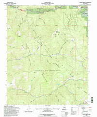 1995 Shady Brook1997 Print · USGSThe high Sangre de Cristo Mountains of the mid-nineties are mapped here across the Rancho del Rio Grande Grant. Trace local development in Shady Brook and Valle Escondido, or locate water sources like Bernardin Lake and Porky Spring.
 - 2011 Map of Shady Brook, 2011 Print
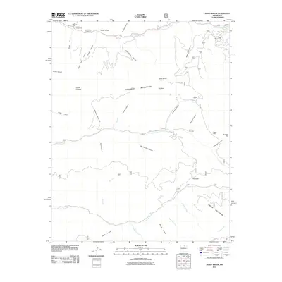 2011 Shady Brook2011 Print · USGSTaos County’s high mountain valleys are captured here in the early twenty-first century, showing the interface between wilderness and settlement. Trace the networks connecting Valle Escondido and Shady Brook with recreation sites like Garcia Park and Capulin Campground.
 - 2013 Map of Shady Brook, 2013 Print
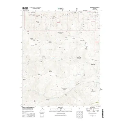 2013 Shady Brook2013 Print · USGSThe high Sangre de Cristo and Santa Fe Mountains meet in this recent survey of the New Mexico highlands. Trace the mountain communities of Shady Brook and Valle Escondido along Rio Fernando de Taos or locate remote landmarks like Bernardin Lake.
 - 2017 Map of Shady Brook, 2017 Print
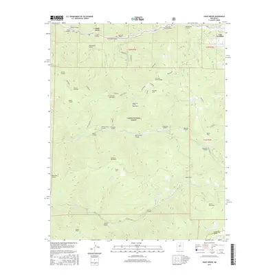 2017 Shady Brook2017 Print · USGSThe Sangre de Cristo high country near Taos is captured here in the late twenty-first century, showing the intersection of forest lands and mountain settlements. Genealogists and hikers can trace the drainages of Rio Fernando de Taos and find landmarks like Valle Escondido and Bernardin Lake.
 - 2020 Map of Shady Brook, 2020 Print
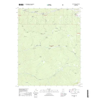 2020 Shady Brook2020 Print · USGSTaos County’s high mountain valleys and forests are captured here in the modern era. Genealogists and hikers can trace paths through the Sangre de Cristo Mountains to find landmarks like Valle Escondido, Osha Park, and the waters of Bernardin Lake.
 - 2023 Map of Shady Brook, 2023 Print
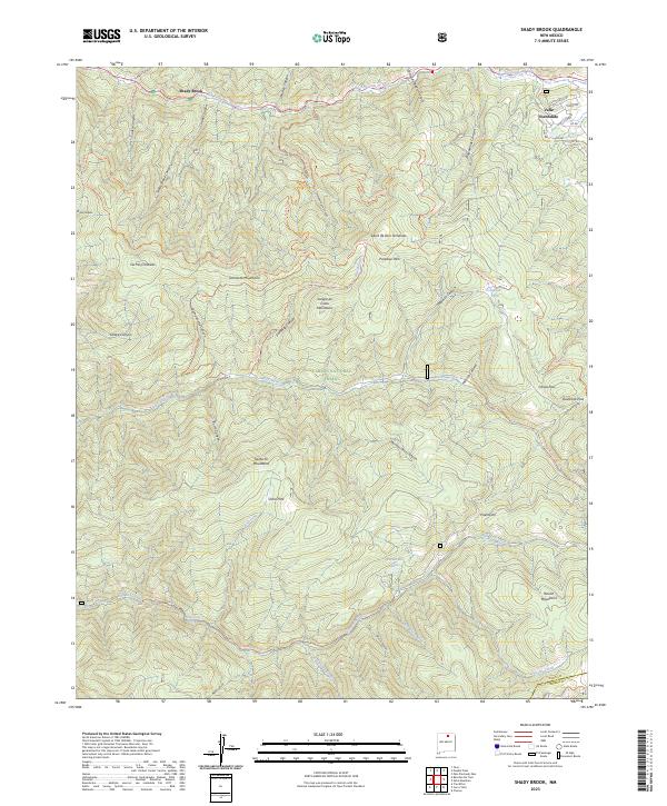 2023 Shady Brook2023 Print · USGSThe northern Sangre de Cristo foothills near Taos come alive on this modern survey of the high-country canyons. Researchers can trace the layout of mountain settlements like Shady Brook and Valle Escondido or locate remote landmarks like Garcia Park and Bernardin Lake.
End of results
Showing maps 1-10 of 10
Top cities near Paradise Park
Frequently asked questions
- What are the different types of historical maps available for Paradise Park?
- What is the oldest map of Paradise Park?
- Where can I purchase historical maps of Paradise Park for my home or office?
- Where can I download high-res historical maps of Paradise Park?
- Are there historical topographic maps available for Paradise Park?
- Is there historical aerial imagery available for Paradise Park?
- Where are historical maps of Paradise Park sourced from?