Old Maps of Questa, New Mexico for Metal Detecting
Plan your next treasure hunt with 10 historic maps of Questa. Find old homesites, ghost towns, trails, and gathering spots that may be lost to time — perfect for identifying promising metal detecting locations.
- Locate forgotten sites: Uncover places like long-lost settlements, abandoned rail lines, or gathering spots.
- Plan better hunts: Use map overlays combined with LiDAR or satellite views to narrow in on historically rich areas.
- Made for detectorists: Thousands of hobbyists use these maps to discover relics, coins, and hidden history.
Use these historic maps to boost your research and find new opportunities beneath the surface of Questa.
Questa, NM maps
(10)- 1954 Map of Raton, 1963 Print
 1954 Raton1963 Print · USGSNorthern New Mexico's high-country and plains are documented here in the early sixties, showing the region's ranching and mining infrastructure. Trace the legacy of the Maxwell Land Grant, locate remote rural sites like Tafoya School, and follow the Atchison Topeka and Santa Fe Railway through the heart of Raton.3 unique versions available
 - 1958 Map of Raton
 1958 Raton1958 Print · USGSNorthern New Mexico and the Colorado borderlands are mapped here in the late fifties, showcasing a landscape of high peaks and historic land grants. Genealogists and historians can trace families across Picuris Pueblo, find old schoolhouses like Piedra Lumbre School, or follow the Atchison Topeka and Santa Fe rail line.3 unique versions available
 - 1963 Map of Questa, 1967 Print
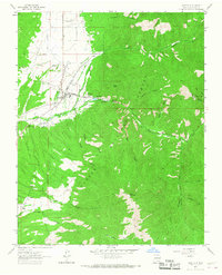 1963 Questa1967 Print · USGSQuesta and the Sangre de Cristo foothills are captured here in the early sixties, showing a landscape of mining, ranching, and forest management. Researchers can trace the grounds of St Anthony Cemetery, the operations at Questa Molybdenum Mine, and the rural layout of Lama.
 - 1982 Map of Wheeler Peak, 1983 Print
 1982 Wheeler Peak1983 Print · USGSNorthern New Mexico in the early eighties shows a high-altitude landscape of historic mining camps and massive land grants. Researchers can trace the Old Railroad Grade near Elizabethtown or locate remote sites like the French-Henry Mine and Vermejo Park.
 - 1995 Map of Questa, 1997 Print
 1995 Questa1997 Print · USGSNorthern New Mexico's mining and mountain landscapes are captured here during the mid-nineties. Genealogists can trace family sites at the Questa Cemetery and Lama, while industrial historians can locate the Questa Molybdenum Mine.
 - 2011 Map of Questa, 2011 Print
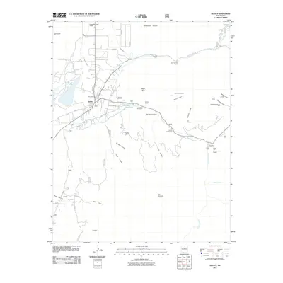 2011 Questa2011 Print · USGSCovers Questa, including Lama, Lama Foundation, and other nearby areas
 - 2013 Map of Questa, 2013 Print
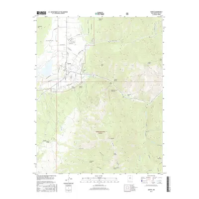
 2013 Questa2013 Print · USGSCovers Questa, including Lama, Lama Foundation, and other nearby areas
 - 2017 Map of Questa, 2017 Print
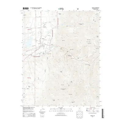
 2017 Questa2017 Print · USGSCovers Questa, including Lama, Lama Foundation, and other nearby areas
 - 2020 Map of Questa, 2020 Print
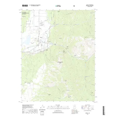 2020 Questa2020 Print · USGSCovers Questa, including Lama, Lama Foundation, and other nearby areas
 - 2023 Map of Questa, 2023 Print
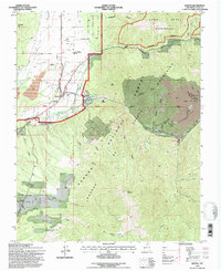
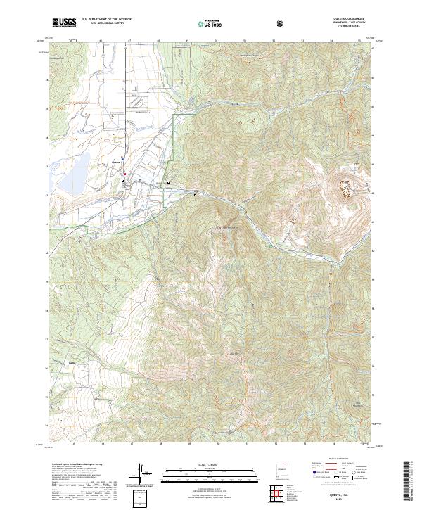 2023 Questa2023 Print · USGSNorthern New Mexico's high-country transition is captured here at the base of the mountains during the early twenty-first century. Genealogists and local historians can trace family-named routes like Don Martinez Rd and Cisneros Rd or locate Saint Anthony Cem near the banks of the Red River.
End of results
Showing maps 1-10 of 10
Top cities near Questa
Frequently asked questions
- What are the different types of historical maps available for Questa?
- What is the oldest map of Questa?
- Where can I purchase historical maps of Questa for my home or office?
- Where can I download high-res historical maps of Questa?
- Are there historical topographic maps available for Questa?
- Is there historical aerial imagery available for Questa?
- Where are historical maps of Questa sourced from?