Old Maps of Anderson Place, New Mexico for Hiking & Exploration
Hike through history with 13 historic maps of Anderson Place. Explore old trails, ghost towns, and forgotten backroads — perfect for outdoor adventurers and local explorers.
- Rediscover forgotten places: Map out old mining camps, roads, and footpaths that no longer exist on modern maps.
- Layer with modern tools: Combine with LiDAR or satellite views to plan hikes through historical terrain.
- Made for exploration: Popular among hikers, overlanders, and local history lovers.
Use these maps to find adventure and explore the hidden past of Anderson Place.
Anderson Place, NM maps
(13)- 1917 Map of Estancia
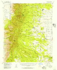
 1917 Estancia1917 Print · USGSThe Estancia Valley and Manzano foothills come alive in this Great War-era survey, showing a landscape defined by massive land grants and new rail lines. Trace family roots and vanished ranch sites across the Manzano Grant or locate early buildings in Mountainair, Willard, and Chilili.
 - 1954 Map of Torreon, 1955 Print
 1954 Torreon1955 Print · USGSThe eastern foothills of the Manzano Mountains come to life in the mid-1950s, showing the intersection of historic land grants and family homesteads. Researchers can locate numerous named family sites like Bermudez Place and Anderson Place along the edges of the Cibola National Forest.2 unique versions available
 - 1954 Map of Torreon, 1957 Print
 1954 Torreon1957 Print · USGSThe foothills of the Manzano Mountains in the mid-fifties reveal a landscape of ancient Spanish land grants and scattered family homesteads. Genealogists can locate specific family sites like Vigil Place or Sanchez Place and trace the proximity of Quarai Ruins State Mon.2 unique versions available
 - 1954 Map of Socorro, 1972 Print
 1954 Socorro1972 Print · USGSMid-century New Mexico comes into focus as the Rio Grande valley and the surrounding high desert undergo post-war growth. Genealogists and historians can trace old mountain settlements like Tajique and Punta de Agua or locate remote sites like the Torrance Mine.2 unique versions available
 - 1958 Map of Socorro
 1958 Socorro1958 Print · USGSNew Mexico's high desert during the late fifties reveals a landscape of massive land grants and remote mining outposts. Researchers can trace the path of the Atchison Topeka and Santa Fe railroad as it connects Socorro and Belen to industrial sites like the Manganese Mill.
 - 1962 Map of Socorro
 1962 Socorro1962 Print · USGSCentral New Mexico comes alive in the early sixties as the rail-and-river corridor of the Rio Grande connects historic pueblos and ranching towns. Local historians can trace the route of the Atchison Topeka and Santa Fe through Belen or locate the Torrance Mine near Mountainair.
 - 1979 Map of Belen
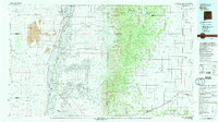 1979 Belen1979 Print · USGSThe Rio Grande Valley south of Albuquerque in the late seventies reveals a landscape of historic land grants and modern subdivisions. Trace the rail-and-river corridor through Belen and Isleta Pueblo, or find high-elevation landmarks in Cibola National Forest.2 unique versions available
 - 1991 Map of Torreon, 1995 Print
 1991 Torreon1995 Print · USGSThe foothills of the Manzano Mountains in the early 1990s reveal a landscape of ancestral land grants and high-desert ranching. Researchers can trace specific family homesteads like Bermudez Place and Chaves Place near the settlements of Torreon and Manzano.
 - 2011 Map of Torreon, 2011 Print
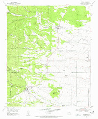
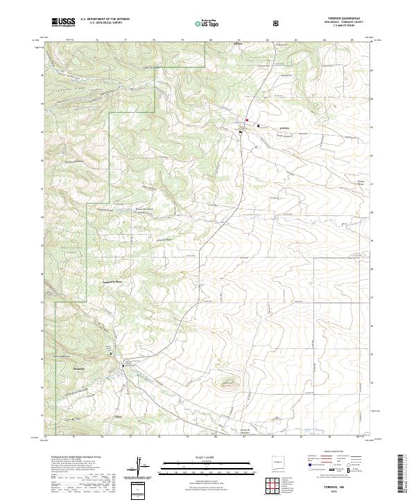
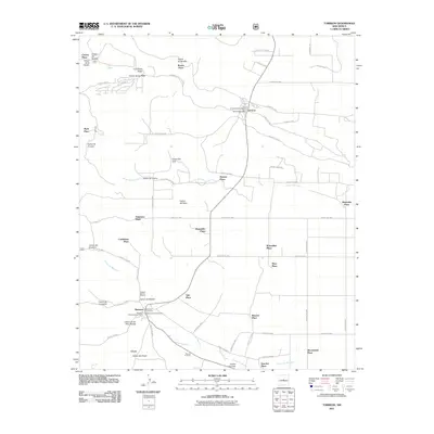 2011 Torreon2011 Print · USGSCovers Anderson Place, including Romero Place, Brown Place, and other nearby areas
 - 2013 Map of Torreon, 2013 Print
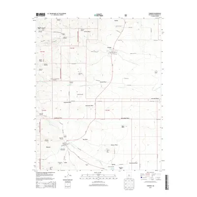 2013 Torreon2013 Print · USGSCovers Anderson Place, including Romero Place, Brown Place, and other nearby areas
 - 2017 Map of Torreon, 2017 Print
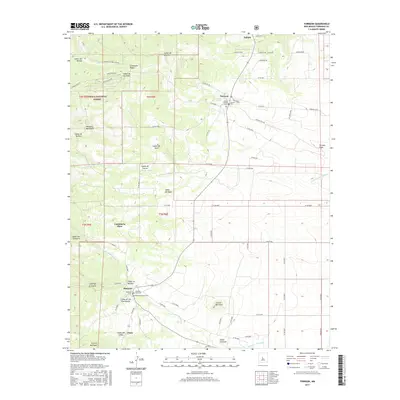 2017 Torreon2017 Print · USGSCovers Anderson Place, including Romero Place, Brown Place, and other nearby areas
 - 2020 Map of Torreon, 2020 Print
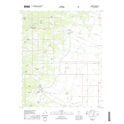 2020 Torreon2020 Print · USGSCovers Anderson Place, including Romero Place, Brown Place, and other nearby areas
 - 2023 Map of Torreon, 2023 Print
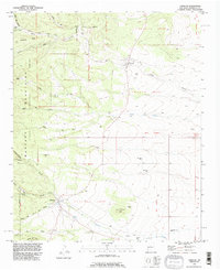
 2023 Torreon2023 Print · USGSTorrance County mountain communities come into focus in this contemporary survey of the eastern Manzano slopes. Genealogists can trace family sites near Torreon Cem, Tajique, and the Our Lady of Sorrows Catholic Church Cem.
End of results
Showing maps 1-13 of 13
Top cities near Anderson Place
Frequently asked questions
- What are the different types of historical maps available for Anderson Place?
- What is the oldest map of Anderson Place?
- Where can I purchase historical maps of Anderson Place for my home or office?
- Where can I download high-res historical maps of Anderson Place?
- Are there historical topographic maps available for Anderson Place?
- Is there historical aerial imagery available for Anderson Place?
- Where are historical maps of Anderson Place sourced from?