Old Maps of C Davis Place, New Mexico
Explore 12 old maps of C Davis Place, spanning from 1917 to today. These high-resolution historic maps reveal how streets, neighborhoods, landmarks, and natural features evolved over time — perfect for genealogy, metal detecting, research, and local history exploration.
What you can do with these maps:
- See how C Davis Place changed over time: Compare historical maps to modern-day views to trace roads, homesites, rail lines & more.
- View detailed metadata: Each map includes creators, publishers, year, scale, and archive source.
- Overlay maps with satellite & LiDAR: Visualize the past alongside modern tools to explore terrain & human change.
- Trusted historical sources: Maps sourced from the USGS, Library of Congress, and other archives.
- Access maps your way: View online, download high-res files, or order prints for personal or research use.
Start exploring old maps of C Davis Place to uncover forgotten places, hidden landmarks, and the deep history beneath your feet.
C Davis Place, NM maps
(12)- 1917 Map of Estancia
 1917 Estancia1917 Print · USGSThe Estancia Valley and Manzano foothills come alive in this Great War-era survey, showing a landscape defined by massive land grants and new rail lines. Trace family roots and vanished ranch sites across the Manzano Grant or locate early buildings in Mountainair, Willard, and Chilili.
 - 1954 Map of Socorro, 1972 Print
 1954 Socorro1972 Print · USGSMid-century New Mexico comes into focus as the Rio Grande valley and the surrounding high desert undergo post-war growth. Genealogists and historians can trace old mountain settlements like Tajique and Punta de Agua or locate remote sites like the Torrance Mine.2 unique versions available
 - 1956 Map of Estancia, 1958 Print
 1956 Estancia1958 Print · USGSThe Estancia Valley in the mid-1950s was a landscape of remote ranches and high-altitude basins defined by the Atchison Topeka and Santa Fe rail line. Researchers can locate family homesteads like Hornsby Ranch, find the Garland Cem, or trace the old roads through Chilili.2 unique versions available
 - 1958 Map of Socorro
 1958 Socorro1958 Print · USGSNew Mexico's high desert during the late fifties reveals a landscape of massive land grants and remote mining outposts. Researchers can trace the path of the Atchison Topeka and Santa Fe railroad as it connects Socorro and Belen to industrial sites like the Manganese Mill.
 - 1962 Map of Socorro
 1962 Socorro1962 Print · USGSCentral New Mexico comes alive in the early sixties as the rail-and-river corridor of the Rio Grande connects historic pueblos and ranching towns. Local historians can trace the route of the Atchison Topeka and Santa Fe through Belen or locate the Torrance Mine near Mountainair.
 - 1979 Map of Belen
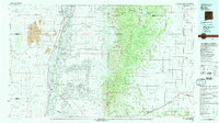 1979 Belen1979 Print · USGSThe Rio Grande Valley south of Albuquerque in the late seventies reveals a landscape of historic land grants and modern subdivisions. Trace the rail-and-river corridor through Belen and Isleta Pueblo, or find high-elevation landmarks in Cibola National Forest.2 unique versions available
 - 1986 Map of Moriarty South
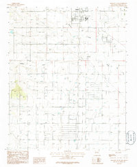 1986 Moriarty South1986 Print · USGSThe Estancia Valley's high-desert landscape is captured in the mid-1980s, centered on the growing community of Moriarty. Researchers can locate specific local landmarks like the Cem, the town Landing Strip, and natural drainage at Buffalo Draw.
 - 2010 Map of Moriarty South, 2010 Print
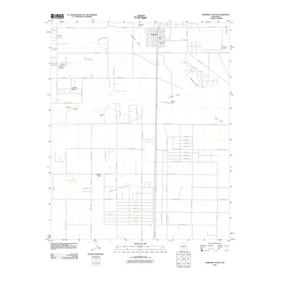 2010 Moriarty South2010 Print · USGSMoriarty and the surrounding Estancia Basin landscape are captured here in the early twenty-first century as the community balanced its ranching roots with modern growth. Researchers can locate family landmarks like Hornsby Ranch, trace the waters of Salt Draw, or identify plots in Mount Carmel Cemetery.
 - 2013 Map of Moriarty South, 2013 Print
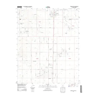 2013 Moriarty South2013 Print · USGSThe Estancia Valley south of Moriarty is captured here in the early 2010s as traditional ranchlands met modern rural growth. Researchers can trace family history through sites like Mt Carmel Cem, McIntosh, and the namesake homesteads at C Davis Place and E Davis Place.
 - 2017 Map of Moriarty South, 2017 Print
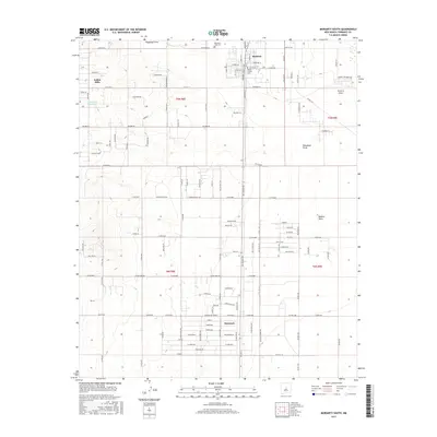 2017 Moriarty South2017 Print · USGSMoriarty and the central New Mexico plains come alive in this survey of a growing community. Trace local family roots at Mountain View Cem or follow the path of Old Hwy 41 as it connects Moriarty to Mcintosh.
 - 2020 Map of Moriarty South, 2020 Print
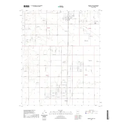 2020 Moriarty South2020 Print · USGSMoriarty and the Estancia Valley are shown in detail during a period of modern rural expansion. Genealogists and local historians can locate Mountain View Cem, trace the drainage of Woodman Draw, and explore the layout of McIntosh.
 - 2023 Map of Moriarty South, 2023 Print
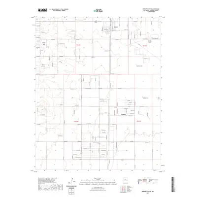 2023 Moriarty South2023 Print · USGSThe high plains of Torrance County are captured here in the 2020s, showing the residential growth surrounding Moriarty. Researchers can trace local landmarks and family plots at Mountain View Cem or the drainage patterns of Buffalo Draw.
End of results
Showing maps 1-12 of 12
Top cities near C Davis Place
- Edgewood historical maps
- Moriarty historical maps
- Estancia historical maps
- Johnny's Place historical maps
Frequently asked questions
- What are the different types of historical maps available for C Davis Place?
- What is the oldest map of C Davis Place?
- Where can I purchase historical maps of C Davis Place for my home or office?
- Where can I download high-res historical maps of C Davis Place?
- Are there historical topographic maps available for C Davis Place?
- Is there historical aerial imagery available for C Davis Place?
- Where are historical maps of C Davis Place sourced from?