Old Maps of Dummoor, New Mexico for Metal Detecting
Plan your next treasure hunt with 9 historic maps of Dummoor. Find old homesites, ghost towns, trails, and gathering spots that may be lost to time — perfect for identifying promising metal detecting locations.
- Locate forgotten sites: Uncover places like long-lost settlements, abandoned rail lines, or gathering spots.
- Plan better hunts: Use map overlays combined with LiDAR or satellite views to narrow in on historically rich areas.
- Made for detectorists: Thousands of hobbyists use these maps to discover relics, coins, and hidden history.
Use these historic maps to boost your research and find new opportunities beneath the surface of Dummoor.
Dummoor, NM maps
(9)- 1954 Map of Fort Sumner, 1964 Print
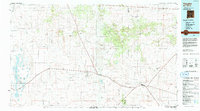
 1954 Fort Sumner1964 Print · USGSEast-central New Mexico's ranching and rail heartland is captured here in the mid-1950s, centered on the strategic junctions of the high plains. Researchers can trace the development of early highway networks and rail towns like Vaughn, Fort Sumner, and the copper operations at Guadalupe Mine.3 unique versions available
 - 1958 Map of Fort Sumner
 1958 Fort Sumner1958 Print · USGSEast-central New Mexico in the mid-fifties is captured here as a sprawling landscape of high mesas and cattle ranching. Researchers can trace the convergence of the Southern Pacific railroad at Vaughn and locate family landmarks like Borica School or Marquez Ranch.
 - 1978 Map of Pedernal
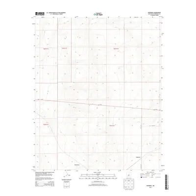
 1978 Pedernal1978 Print · USGSTorrance County, New Mexico, is shown in the late 1970s as a quiet rail-centered landscape. Genealogists and historians can trace the path of the Atchison Topeka and Santa Fe through small stops like Pedernal and Dunmoor.
 - 1984 Map of Vaughn, 1992 Print
 1984 Vaughn1992 Print · USGSCentral New Mexico’s high plains are captured here in the mid-1980s, revealing a landscape shaped by transcontinental rail and highway travel. Trace the paths of the Atchison Topeka and Santa Fe through settlements like Encino, Vaughn, and Milagro.
 - 2010 Map of Pedernal, 2010 Print
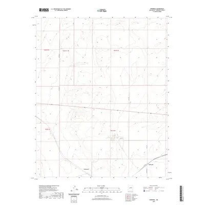
 2010 Pedernal2010 Print · USGSCovers Dummoor, including Pedernal, Torrance County, and other nearby areas
 - 2013 Map of Pedernal, 2013 Print
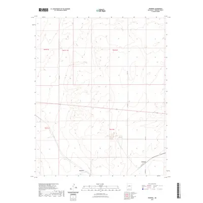
 2013 Pedernal2013 Print · USGSCovers Dummoor, including Pedernal, Torrance County, and other nearby areas
 - 2017 Map of Pedernal, 2017 Print
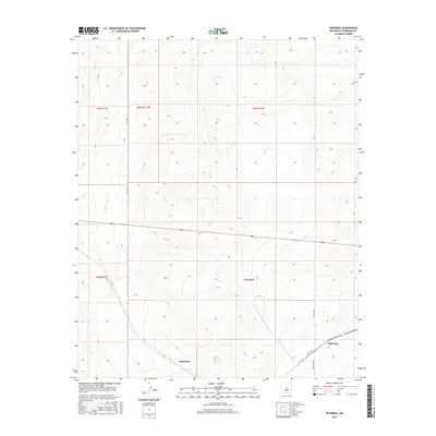 2017 Pedernal2017 Print · USGSCovers Dummoor, including Pedernal, Torrance County, and other nearby areas
 - 2020 Map of Pedernal, 2020 Print
 2020 Pedernal2020 Print · USGSCovers Dummoor, including Pedernal, Torrance County, and other nearby areas
 - 2023 Map of Pedernal, 2023 Print
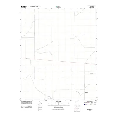
 2023 Pedernal2023 Print · USGSTorrance County ranching country is mapped here in the early 2020s, showing the enduring rural layout of the New Mexican plains. Local historians and land researchers can trace the modern road network and property lines around Pedernal, Dummoor, and Eshelman Rd.
End of results
Showing maps 1-9 of 9
Frequently asked questions
- What are the different types of historical maps available for Dummoor?
- What is the oldest map of Dummoor?
- Where can I purchase historical maps of Dummoor for my home or office?
- Where can I download high-res historical maps of Dummoor?
- Are there historical topographic maps available for Dummoor?
- Is there historical aerial imagery available for Dummoor?
- Where are historical maps of Dummoor sourced from?