2023 Map of Pedernal
USGS Topo · Published 2023About this map
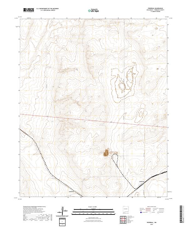
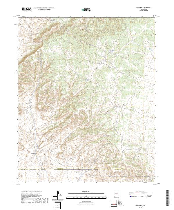
Pedernal and the area surrounding the small settlement of Dummoor are the primary focal points of this 2023 survey in Torrance County. The landscape is structured by the Public Land Survey System, with township and range lines like t5n r12e and t6n r11e dividing the high-altitude terrain. The map details a sparse but vital network of rural infrastructure, including Eshelman Rd and several county routes such as Co Rd C038 and Co Rd C058. This recent USGS study captures the contemporary layout of this ranching and grazing region, showing how the few arterial roads connect isolated homesites and livestock operations across the wide New Mexican plains.
Find a feature on this map
12 named features on this map. Tap any name to fly to it.
Don’t see what you’re looking for? This feature index may not catch every label — zoom into the map to look around manually.
Map Details
Editions of this 2023 Pedernal Map
This is the sole edition of this map. No revisions or reprints were ever made.
Historical Maps of Dummoor Through Time
109 maps found

1954 Bosque Peak
Torrance County, NM

1954 Capilla Peak
Torrance County, NM

1954 Milbourn Ranch
Torrance County, NM

1960 Lobo Hill
Torrance County, NM

1972 Abo
Torrance County, NM

1972 Bigbee Draw
Torrance County, NM

1972 Chupadera
Torrance County, NM

1972 Gran Quivira
Torrance County, NM

1972 Mesa Draw
Torrance County, NM

1972 Round Top
Torrance County, NM

1978 Dunlap Ranch
Torrance County, NM

1978 Laguna Del Perro North
Torrance County, NM

1978 Laguna Del Perro South
Torrance County, NM

1978 Lucy
Torrance County, NM

1978 Milagro Spring
Torrance County, NM

1978 Negra SE
Torrance County, NM

1978 Negra SW
Torrance County, NM

1978 Negra
Torrance County, NM

1978 North Lucy
Torrance County, NM

1978 Palma
Torrance County, NM

1978 Pedernal Mountain
Torrance County, NM

1978 Pedernal
Torrance County, NM

1978 Pinavete Canyon
Torrance County, NM

1978 Rattlesnake Hill
Torrance County, NM

1978 Rock Lake
Torrance County, NM

1978 Santa Barbara Lake
Torrance County, NM

1978 Santo Nino Canyon
Torrance County, NM

1978 Tejon
Torrance County, NM

1978 Waller Ranch
Torrance County, NM

1981 Camaleon Draw East
Torrance County, NM

1981 Camaleon Draw West
Torrance County, NM

1981 Cedarvale NE
Torrance County, NM

1981 Cedarvale
Torrance County, NM

1981 Corona North
Torrance County, NM

1981 Duran NE
Torrance County, NM

1981 Pino Mountain
Torrance County, NM

1981 Progresso NE
Torrance County, NM

1981 Progresso SE
Torrance County, NM

1981 Progresso SW
Torrance County, NM

1981 Progresso
Torrance County, NM

1986 Ewing
Torrance County, NM

1986 Manzano Peak
Torrance County, NM

1986 Moriarty South
Torrance County, NM

1986 Mountainair NE
Torrance County, NM

1986 Punta De Agua
Torrance County, NM

1990 Lobo Hill NE
Torrance County, NM

1990 Lobo Hill SE
Torrance County, NM

1990 Lobo Hill SW
Torrance County, NM

1990 Lobo Hill
Torrance County, NM

1991 Bosque Peak
Torrance County, NM

1991 Milbourn Ranch
Torrance County, NM

1995 Abo
Torrance County, NM

1995 Bosque Peak
Torrance County, NM

1995 Capilla Peak
Torrance County, NM

1995 Cedarvale
Torrance County, NM

1995 Corona North
Torrance County, NM

1995 Manzano Peak
Torrance County, NM

1995 Progresso NE
Torrance County, NM

1995 Progresso SE
Torrance County, NM

1995 Progresso SW
Torrance County, NM

1995 Progresso
Torrance County, NM

1995 Punta De Agua
Torrance County, NM

2023 Abo
Torrance County, NM
2023 Bigbee Draw
Torrance County, NM

2023 Bosque Peak
Torrance County, NM

2023 Camaleon Draw East
Torrance County, NM
2023 Camaleon Draw West
Torrance County, NM

2023 Capilla Peak
Torrance County, NM
2023 Cedarvale NE
Torrance County, NM

2023 Cedarvale
Torrance County, NM
2023 Chupadera
Torrance County, NM

2023 Corona North
Torrance County, NM
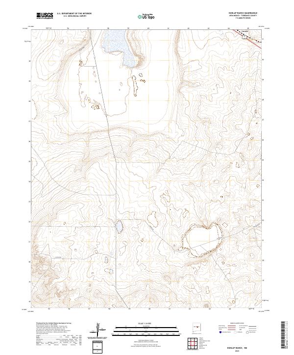
2023 Dunlap Ranch
Torrance County, NM
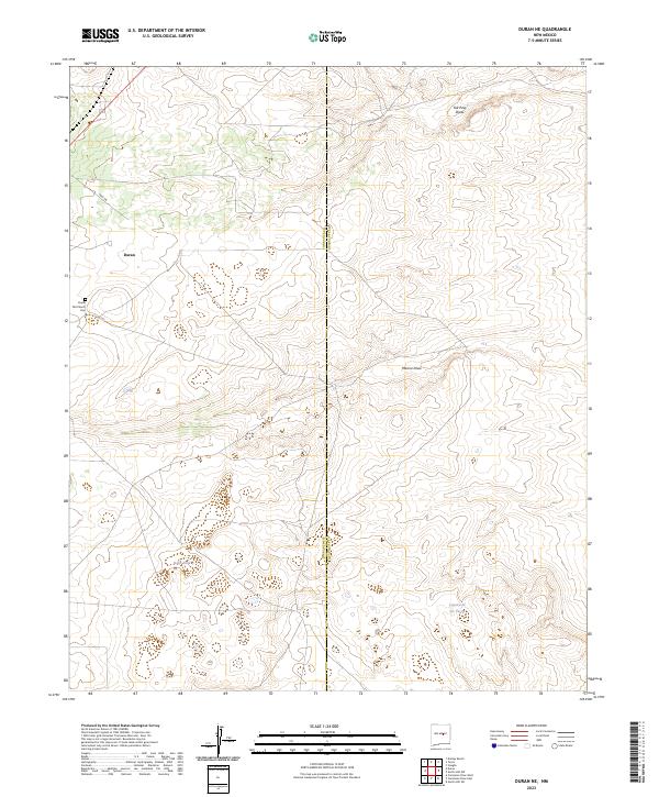
2023 Duran NE
Torrance County, NM
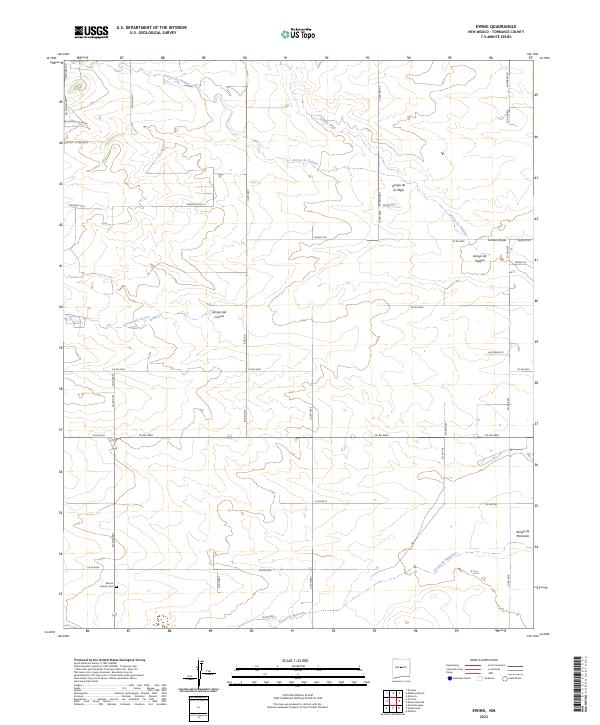
2023 Ewing
Torrance County, NM
2023 Gran Quivira
Torrance County, NM
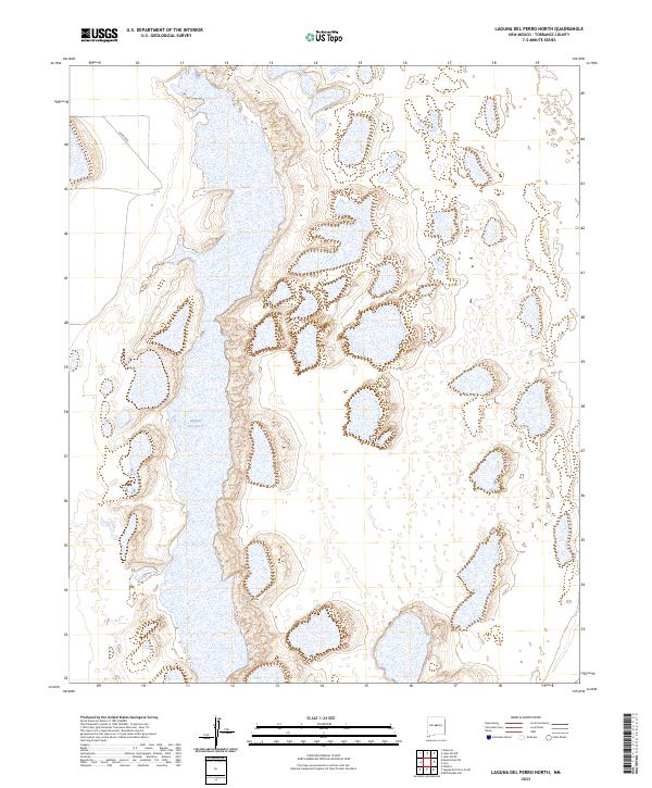
2023 Laguna Del Perro North
Torrance County, NM
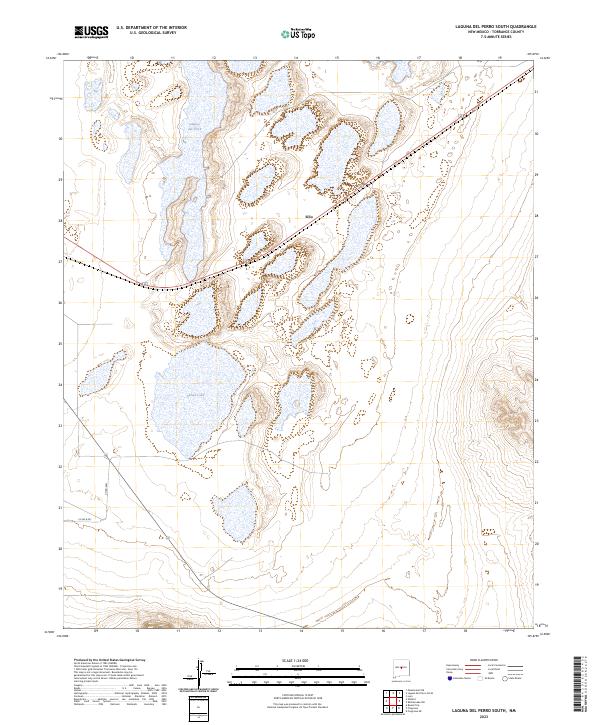
2023 Laguna Del Perro South
Torrance County, NM
2023 Lobo Hill NE
Torrance County, NM

2023 Lobo Hill SE
Torrance County, NM
2023 Lobo Hill SW
Torrance County, NM

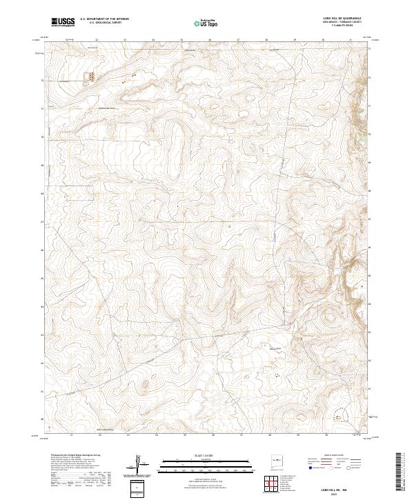
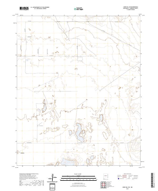
2023 Lobo Hill
Torrance County, NM
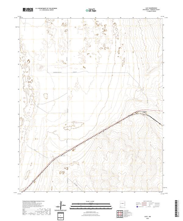
2023 Lucy
Torrance County, NM

2023 Manzano Peak
Torrance County, NM

2023 Mesa Draw
Torrance County, NM
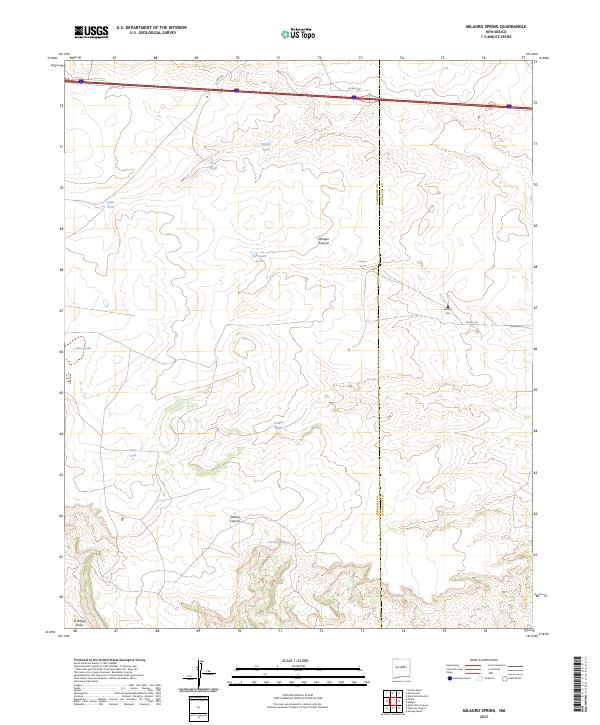
2023 Milagro Spring
Torrance County, NM
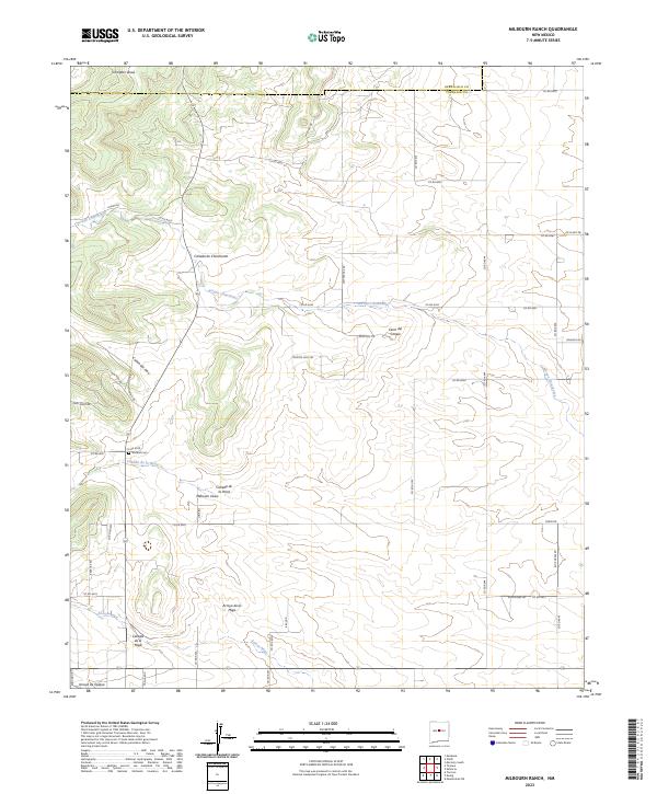
2023 Milbourn Ranch
Torrance County, NM
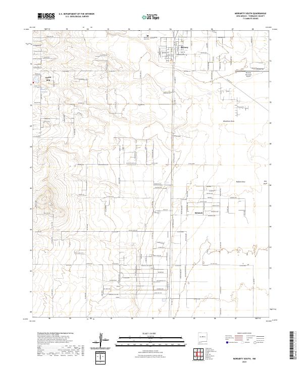
2023 Moriarty South
Torrance County, NM
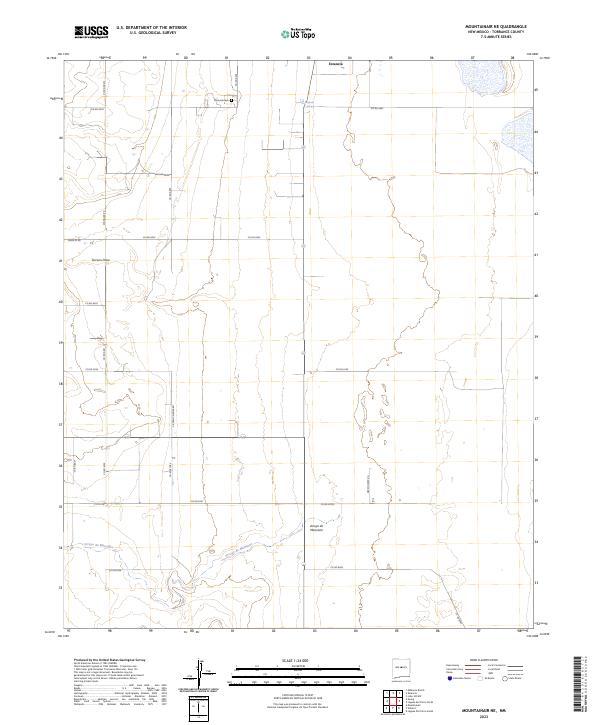
2023 Mountainair NE
Torrance County, NM
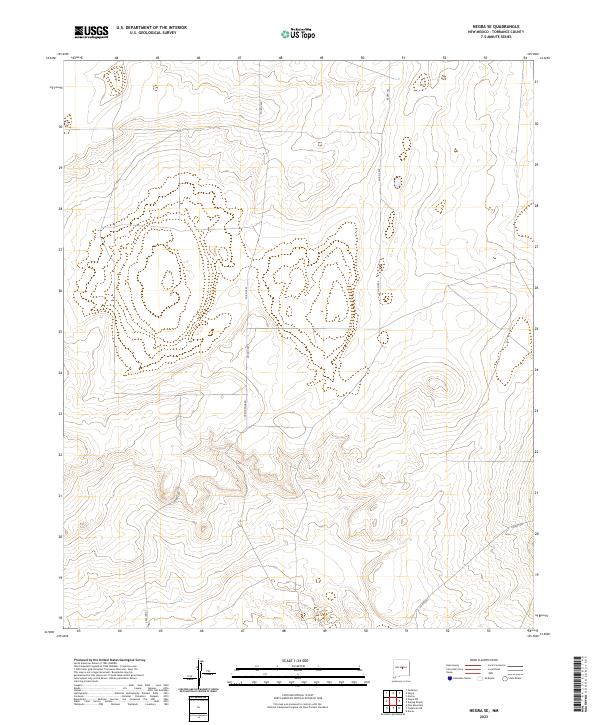
2023 Negra SE
Torrance County, NM
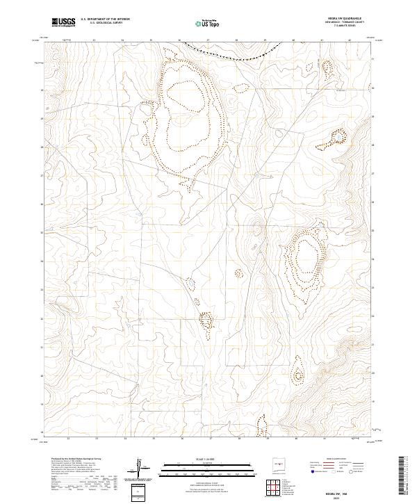
2023 Negra SW
Torrance County, NM
2023 Negra
Torrance County, NM
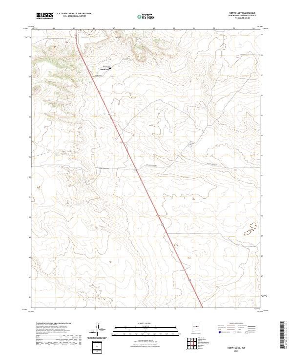
2023 North Lucy
Torrance County, NM
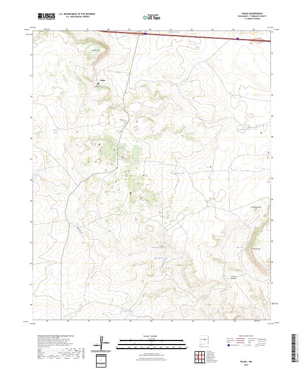
2023 Palma
Torrance County, NM
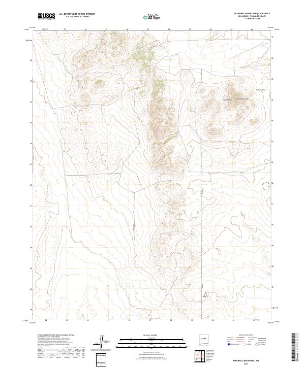
2023 Pedernal Mountain
Torrance County, NM
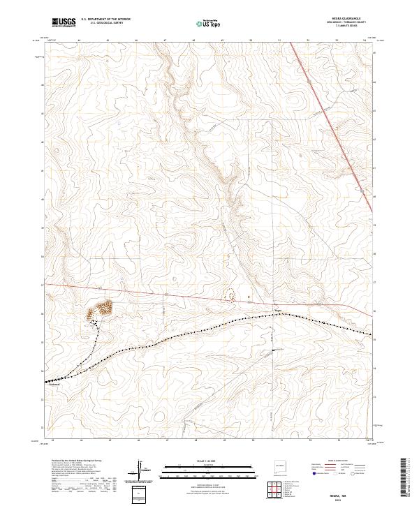
2023 Pedernal
Torrance County, NM
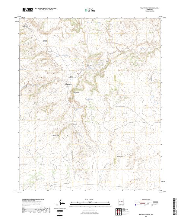
2023 Pinavete Canyon
Torrance County, NM
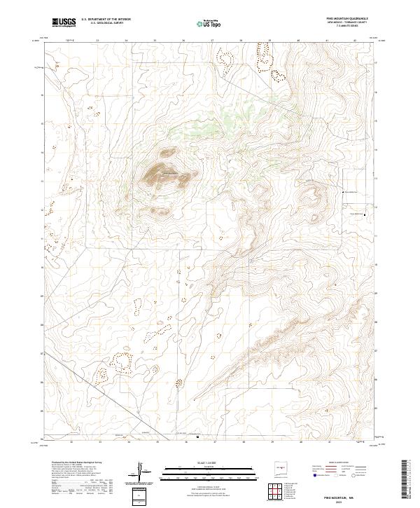
2023 Pino Mountain
Torrance County, NM

2023 Progresso NE
Torrance County, NM

2023 Progresso SE
Torrance County, NM

2023 Progresso SW
Torrance County, NM

2023 Progresso
Torrance County, NM
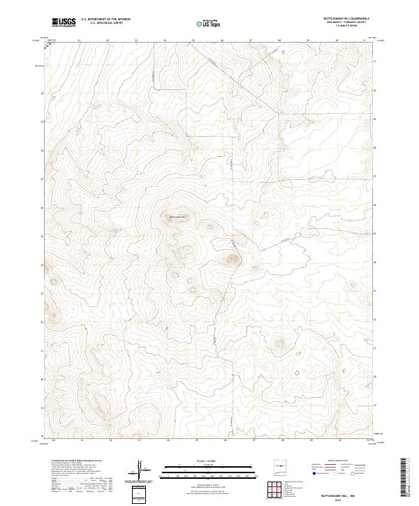
2023 Rattlesnake Hill
Torrance County, NM
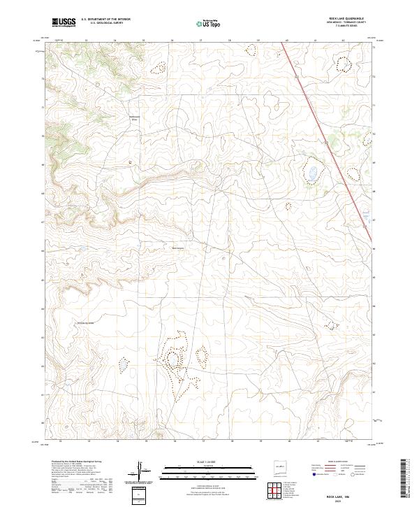
2023 Rock Lake
Torrance County, NM
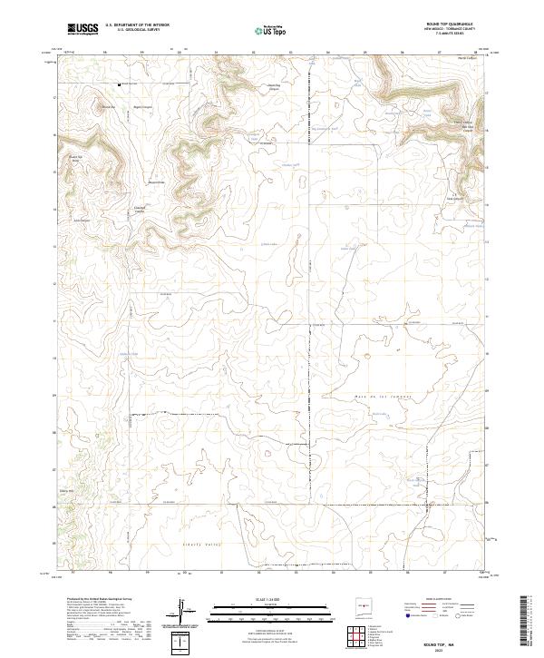
2023 Round Top
Torrance County, NM
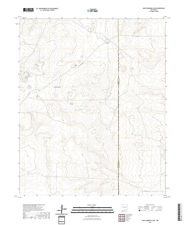
2023 Santa Barbara Lake
Torrance County, NM
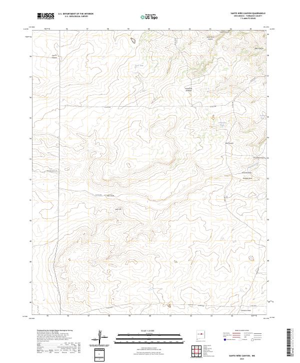
2023 Santo Nino Canyon
Torrance County, NM
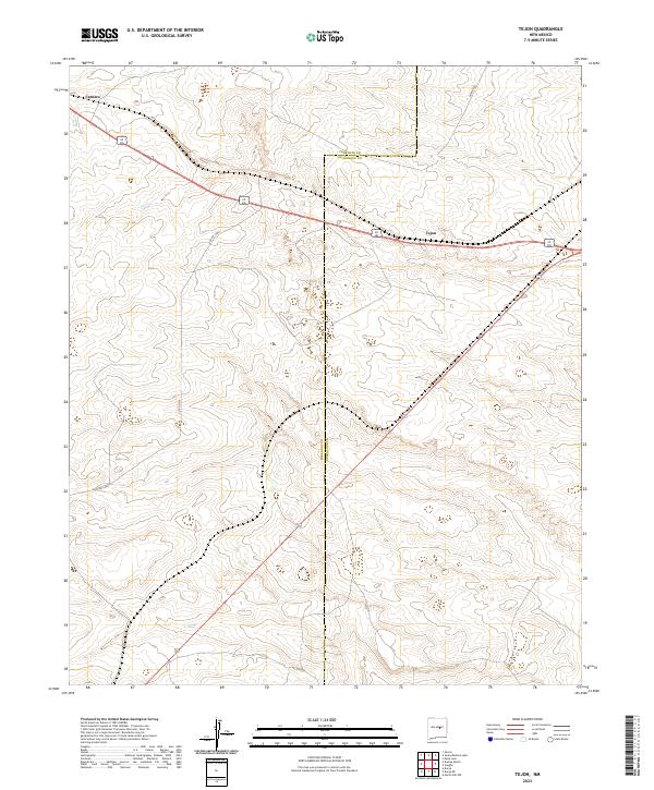
2023 Tejon
Torrance County, NM

2023 Waller Ranch
Torrance County, NM