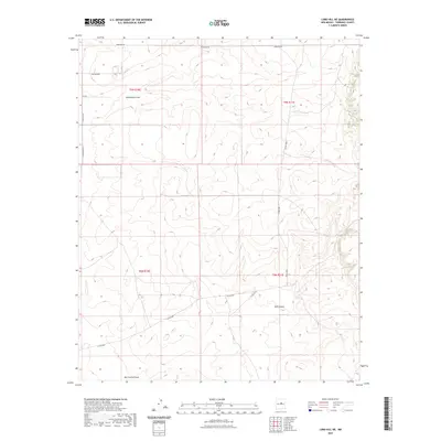
2023 Map of Lobo Hill NE
USGS Topo · Published 2023About this map
Rattlesnake Draw and the deep incisions of Red Canyon define this landscape in Torrance County, where the high desert terrain is shaped by dramatic drainage patterns. The topography transitions from the northern flats along Martinez Rd toward the significant natural landmark of Red Canyon Draw in the south. This 2023 survey illustrates a sparsely populated section of the New Mexico landscape, characterized by a grid of rural routes including Side Winder, Ute Dr, and Cimeron Rd. The map provides an essential look at contemporary land divisions and the natural watercourses that dictate the layout of access roads like Co Rd A080, tracing how human infrastructure navigates the arid washes and canyons of the high plateau.
Find a feature on this map
14 named features on this map. Tap any name to fly to it.
Don’t see what you’re looking for? This feature index may not catch every label — zoom into the map to look around manually.
Map Details
Editions of this 2023 Lobo Hill NE Map
This is the sole edition of this map. No revisions or reprints were ever made.
Other maps of this area

1894 · Lamy
USGS Topo · 1:125,000

1954 · Santa Fe
USGS Topo · 1:250,000

1954 · Fort Sumner
USGS Topo · 1:250,000

1958 · Fort Sumner
USGS Topo · 1:250,000

1958 · Santa Fe
USGS Topo · 1:250,000

1960 · Lobo Hill
USGS Topo · 1:62,500

1960 · Stanley
USGS Topo · 1:62,500
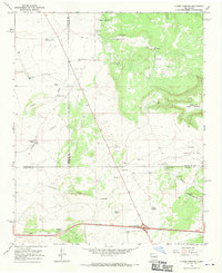
1966 · Clines Corners
USGS Topo · 1:24,000

1978 · Pedernal Mountain
USGS Topo · 1:24,000
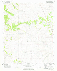
1978 · Rock Lake
USGS Topo · 1:24,000