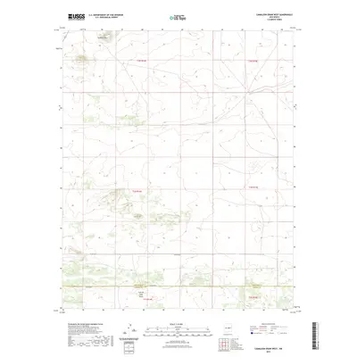
2023 Map of Camaleon Draw West
USGS Topo · Published 2023About this map
Trinchera Mesa and Camaleon Hill anchor this high-altitude landscape along the border of Torrance and Lincoln Counties. This modern survey illustrates the persistent drainage patterns of the high desert, most notably the winding course of the Cola del Gallo Arroyo in the southern portion of the quadrangle. The map details a sparsely populated area where human activity is primarily represented by a network of rural routes, including Co RD c020 and Co RD a030, which cross the open terrain and Section 16 school lands. It provides a contemporary look at the Public Land Survey System grid across T1N and T2N, R14E and R15E, reflecting the enduring township and range divisions that have shaped New Mexico land ownership for generations.
Find a feature on this map
12 named features on this map. Tap any name to fly to it.
Don’t see what you’re looking for? This feature index may not catch every label — zoom into the map to look around manually.
Map Details
Editions of this 2023 Camaleon Draw West Map
This is the sole edition of this map. No revisions or reprints were ever made.
Other maps of this area

1954 · Fort Sumner
USGS Topo · 1:250,000

1958 · Fort Sumner
USGS Topo · 1:250,000

1980 · Corona
USGS Topo · 1:100,000

1981 · Gallo Spring Canyon
USGS Topo · 1:24,000

1981 · Camaleon Draw West
USGS Topo · 1:24,000
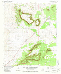
1981 · Duran
USGS Topo · 1:24,000

1981 · Camaleon Draw East
USGS Topo · 1:24,000
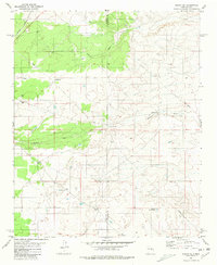
1981 · Duran NE
USGS Topo · 1:24,000
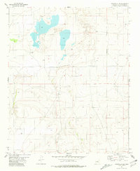
1981 · Cedarvale NE
USGS Topo · 1:24,000

1981 · Corona South
USGS Topo · 1:24,000