
1981 Map of Corona South
USGS Topo · Published 1981About this map
Corona serves as the focal point of this high-desert landscape in central New Mexico, where the Southern Pacific railroad line shapes the local geography. The settlement's infrastructure is clearly marked, including a Water Tank, a Substa, and a local Cem located just east of the tracks. The surrounding terrain is defined by a series of deep drainages, including Bonita Canyon and Gallo Canyon, which carve through the high-elevation mesas.
Find a feature on this map
14 named features on this map. Tap any name to fly to it.
Don’t see what you’re looking for? This feature index may not catch every label — zoom into the map to look around manually.
Map Details
Editions of this 1981 Corona South Map
This is the sole edition of this map. No revisions or reprints were ever made.
Other maps of this area

1954 · Fort Sumner
USGS Topo · 1:250,000

1958 · Fort Sumner
USGS Topo · 1:250,000

1980 · Corona
USGS Topo · 1:100,000

1981 · Gallo Spring Canyon
USGS Topo · 1:24,000

1981 · Rough Mountain
USGS Topo · 1:24,000

1981 · Camaleon Draw West
USGS Topo · 1:24,000
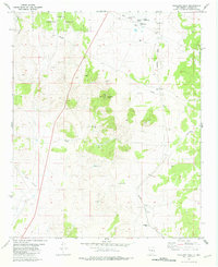
1981 · Tecolote Peak
USGS Topo · 1:24,000
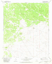
1981 · Pelon Hill
USGS Topo · 1:24,000
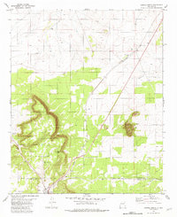
1981 · Corona North
USGS Topo · 1:24,000
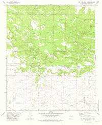
1981 · Red Bluff Draw West
USGS Topo · 1:24,000