
1981 Map of Rough Mountain
USGS Topo · Published 1981About this map
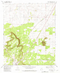
Cibola National Forest encompasses the high ridges and deep canyons of Lincoln County, defining a landscape shaped by both mineral extraction and ranching. The Southern Pacific railroad runs along the eastern edge of the quadrangle, serving the small settlement at Gallinas. This rail line provided the essential link for the local mining operations, including the Corona Queen Mine and Conqueror Mine located in the western highlands.
Find a feature on this map
30 named features on this map. Tap any name to fly to it.
Don’t see what you’re looking for? This feature index may not catch every label — zoom into the map to look around manually.
Map Details
Editions of this 1981 Rough Mountain Map
This is the sole edition of this map. No revisions or reprints were ever made.
Other maps of this area

1954 · Fort Sumner
USGS Topo · 1:250,000

1958 · Fort Sumner
USGS Topo · 1:250,000

1980 · Corona
USGS Topo · 1:100,000
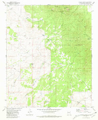
1981 · Pajaro Canyon
USGS Topo · 1:24,000
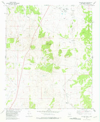
1981 · Tecolote Peak
USGS Topo · 1:24,000
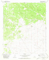
1981 · Pelon Hill
USGS Topo · 1:24,000
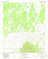
1981 · Progresso SE
USGS Topo · 1:24,000

1981 · Corona South
USGS Topo · 1:24,000
1981 · Corona North
USGS Topo · 1:24,000
1981 · Claunch SE
USGS Topo · 1:24,000