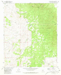
1981 Map of Pajaro Canyon
USGS Topo · Published 1981About this map
The Gallinas Mountains dominate this high-altitude landscape in central New Mexico, where the peaks of Gallinas Peak and West Turkey Cone overlook a network of canyons and remote ranching infrastructure. Within the Cibola National Forest, the map records various industrial and recreational activities, from the Red Cloud Campground to several unnamed Mines and Prospects tucked into the hills.
Find a feature on this map
33 named features on this map. Tap any name to fly to it.
Don’t see what you’re looking for? This feature index may not catch every label — zoom into the map to look around manually.
Map Details
Editions of this 1981 Pajaro Canyon Map
This is the sole edition of this map. No revisions or reprints were ever made.
Other maps of this area

1954 · Fort Sumner
USGS Topo · 1:250,000

1958 · Fort Sumner
USGS Topo · 1:250,000

1980 · Corona
USGS Topo · 1:100,000

1981 · Rough Mountain
USGS Topo · 1:24,000
1981 · Progresso SW
USGS Topo · 1:24,000
1981 · Polecat Draw
USGS Topo · 1:24,000
1981 · Tecolote Peak
USGS Topo · 1:24,000
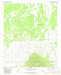
1981 · Progresso SE
USGS Topo · 1:24,000
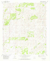
1981 · Claunch SE
USGS Topo · 1:24,000
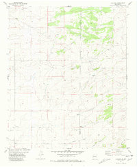
1981 · Claunch
USGS Topo · 1:24,000