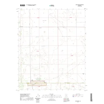
2023 Map of Gran Quivira
USGS Topo · Published 2023About this map
Gran Quivira anchors the southern landscape of this high-desert region, situated at the intersection of the Torrance and Socorro county lines. This area is defined by the Salinas Pueblo Missions National Monument, preserving significant ancestral sites amidst a complex terrain of basins and ridges. The topography rises from Gooch Flats toward the prominent Mesa de los Jumanos, while the broad Liberty Valley and Atkinson Flats suggest the open character of the central New Mexico plains. Sparse water resources are noted by ephemeral features like Espinosa Lake, Wyatt Lake, and Haygood Tank, which are critical landmarks in this arid environment. A network of county roads, including Co RD b031 and the Salinas Pueblo Rd, provides modern access to these ancient cultural grounds and the surrounding ranching landscape.
Find a feature on this map
27 named features on this map. Tap any name to fly to it.
Don’t see what you’re looking for? This feature index may not catch every label — zoom into the map to look around manually.
Map Details
Editions of this 2023 Gran Quivira Map
This is the sole edition of this map. No revisions or reprints were ever made.
Other maps of this area

1954 · Fort Sumner
USGS Topo · 1:250,000

1954 · Socorro
USGS Topo · 1:250,000

1958 · Socorro
USGS Topo · 1:250,000

1958 · Fort Sumner
USGS Topo · 1:250,000

1962 · Socorro
USGS Topo · 1:250,000

1972 · Turkey Ridge
USGS Topo · 1:24,000

1972 · Gran Quivira
USGS Topo · 1:24,000

1972 · Bigbee Draw
USGS Topo · 1:24,000
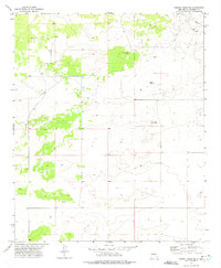
1972 · Turkey Ridge NE
USGS Topo · 1:24,000
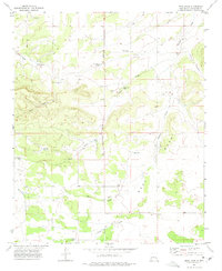
1972 · Mesa Draw
USGS Topo · 1:24,000