
1972 Map of Turkey Ridge
USGS Topo · Published 1975About this map
Turkey Ridge dominates this Socorro County landscape, a prominent landform that defines the local drainage and topography in the early 1970s. The area is characterized by an extensive network of water infrastructure essential for land management in this arid environment, ranging from Montezuma Well in the north to the southern reaches of Grumble Gulch. Numerous catchment features such as Turkey Ruins Tank and Pothole Tank indicate the vital role of water storage for the region's ranching or agricultural operations.
Find a feature on this map
15 named features on this map. Tap any name to fly to it.
Don’t see what you’re looking for? This feature index may not catch every label — zoom into the map to look around manually.
Map Details
Editions of this 1972 Turkey Ridge Map
This is the sole edition of this map. No revisions or reprints were ever made.
Other maps of this area

1954 · Socorro
USGS Topo · 1:250,000

1958 · Socorro
USGS Topo · 1:250,000

1962 · Socorro
USGS Topo · 1:250,000

1972 · Turkey Ridge SW
USGS Topo · 1:24,000

1972 · Gran Quivira
USGS Topo · 1:24,000
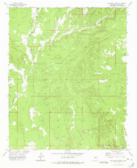
1972 · Chupadera Spring
USGS Topo · 1:24,000

1972 · Chupadera
USGS Topo · 1:24,000

1972 · Bigbee Draw
USGS Topo · 1:24,000

1972 · Wilson Ranch
USGS Topo · 1:24,000
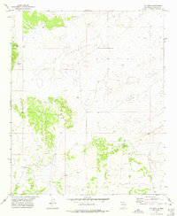
1972 · Cat Mesa
USGS Topo · 1:24,000