
1972 Map of Gran Quivira
USGS Topo · Published 1975About this map
Gran Quivira National Monument anchors this 1970s survey of the high desert along the Torrance Co Socorro Co border. The landscape is dominated by the dramatic uplift of the Mesa de los Jumanos, which drops away into Liberty Valley and the expansive Gooch Flats. The preservation of ancient Ruins at the monument provides a focal point for the region, while the surrounding terrain is marked by isolated rural infrastructure like Center Point School. Local ranching and water management are evident through named catchments and wells such as Haygood Tank, Atkinson Well, and Goar Well. A prominent Pipeline cuts across the southern portion of the quadrangle, illustrating the intersection of modern utility with the rugged geography of Beatty Hill.
Find a feature on this map
18 named features on this map. Tap any name to fly to it.
Don’t see what you’re looking for? This feature index may not catch every label — zoom into the map to look around manually.
Map Details
Editions of this 1972 Gran Quivira Map
This is the sole edition of this map. No revisions or reprints were ever made.
Other maps of this area

1954 · Fort Sumner
USGS Topo · 1:250,000

1954 · Socorro
USGS Topo · 1:250,000

1958 · Socorro
USGS Topo · 1:250,000

1958 · Fort Sumner
USGS Topo · 1:250,000

1962 · Socorro
USGS Topo · 1:250,000

1972 · Turkey Ridge
USGS Topo · 1:24,000

1972 · Bigbee Draw
USGS Topo · 1:24,000
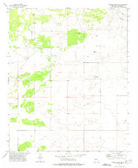
1972 · Turkey Ridge NE
USGS Topo · 1:24,000
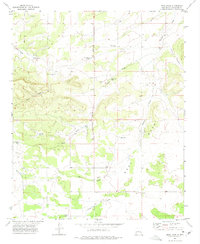
1972 · Mesa Draw
USGS Topo · 1:24,000
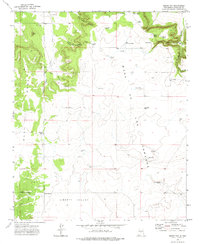
1972 · Round Top
USGS Topo · 1:24,000