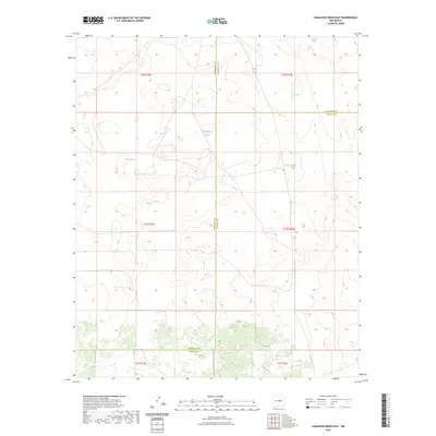
2023 Map of Camaleon Draw East
USGS Topo · Published 2023About this map
This high-desert landscape in New Mexico converges where three counties meet: Torrance, Guadalupe, and Lincoln. The terrain is characterized by its reliance on intermittent water sources, as shown by the various tanks and lakes distributed across the land. Features like Telephone Lake and Jojonera Lake offer a glimpse into how water and livestock management shaped the local land-use patterns. Man-made catchments such as Casino Tank and Sotol Tank further underscore the challenges of life and ranching in this arid environment. The map provides a look at the precise township and range boundaries, including t1n r15e and t2n r16e, which define the administrative grid of the region's vast, open spaces.
Find a feature on this map
13 named features on this map. Tap any name to fly to it.
Don’t see what you’re looking for? This feature index may not catch every label — zoom into the map to look around manually.
Map Details
Editions of this 2023 Camaleon Draw East Map
This is the sole edition of this map. No revisions or reprints were ever made.
Other maps of this area

1954 · Fort Sumner
USGS Topo · 1:250,000

1958 · Fort Sumner
USGS Topo · 1:250,000

1980 · Corona
USGS Topo · 1:100,000

1981 · Gallo Spring Canyon
USGS Topo · 1:24,000

1981 · Gacho Hill NW
USGS Topo · 1:24,000

1981 · Gacho Hill SW
USGS Topo · 1:24,000

1981 · Camaleon Draw West
USGS Topo · 1:24,000
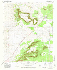
1981 · Duran
USGS Topo · 1:24,000

1981 · Camaleon Draw East
USGS Topo · 1:24,000
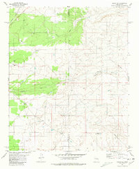
1981 · Duran NE
USGS Topo · 1:24,000