
1978 Map of Santa Barbara Lake
USGS Topo · Published 1978About this map
Santa Barbara Lake sits at the western edge of this central New Mexico landscape, a rare water feature in an otherwise arid expanse of mesas and drainage basins. Surveyed in the 1970s, the terrain is defined by the deep incision of Pinavete Canyon to the north, showing the complex topography typical of the high plains before it descends toward the Pecos River valley further east. The map captures the jurisdictional boundary where Torrance Co and Guadalupe Co meet, a line largely unmarked on the ground save for the occasional ranch road or section corner. Modern infrastructure is sparse, represented primarily by a lone Radio Tower in the southwest and a network of unimproved trails that connect the scattered livestock tanks and high points of this remote ranchland.
Find a feature on this map
4 named features on this map. Tap any name to fly to it.
Don’t see what you’re looking for? This feature index may not catch every label — zoom into the map to look around manually.
Map Details
Editions of this 1978 Santa Barbara Lake Map
This is the sole edition of this map. No revisions or reprints were ever made.
Other maps of this area

1954 · Fort Sumner
USGS Topo · 1:250,000

1958 · Fort Sumner
USGS Topo · 1:250,000
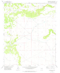
1978 · George Ranch
USGS Topo · 1:24,000

1978 · Mesa Leon
USGS Topo · 1:24,000

1978 · Vaughn
USGS Topo · 1:24,000

1978 · Tejon
USGS Topo · 1:24,000

1978 · Santo Nino Canyon
USGS Topo · 1:24,000

1978 · Encino
USGS Topo · 1:24,000

1978 · Dunlap Ranch
USGS Topo · 1:24,000
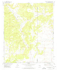
1978 · Pinavete Canyon
USGS Topo · 1:24,000