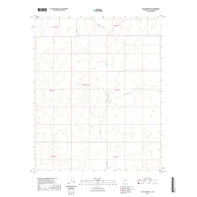
2023 Map of Rattlesnake Hill
USGS Topo · Published 2023About this map
Rattlesnake Hill rises as the central landmark in this high-altitude section of Torrance County, New Mexico. The landscape is characterized by its organized township and range system, which structures the expansive open space of the Estancia Valley region. Local transit is defined by a network of county roads that navigate the varying elevations, including Lucy Rd in the north and the intersecting routes of Co Rd B083 N and Co Rd C055. These corridors trace the paths through the basin-and-range terrain, illustrating the modern management of rural land where ranching and resource management remain the primary human signatures on the land. The mapping provided by the Department of the Interior reveals a sparsely settled but carefully surveyed territory, where every section line reflects the intersection of geography and governance.
Find a feature on this map
12 named features on this map. Tap any name to fly to it.
Don’t see what you’re looking for? This feature index may not catch every label — zoom into the map to look around manually.
Map Details
Editions of this 2023 Rattlesnake Hill Map
This is the sole edition of this map. No revisions or reprints were ever made.
Other maps of this area

1954 · Fort Sumner
USGS Topo · 1:250,000

1958 · Fort Sumner
USGS Topo · 1:250,000

1978 · Laguna Del Perro North
USGS Topo · 1:24,000

1978 · Negra SW
USGS Topo · 1:24,000

1978 · Pedernal
USGS Topo · 1:24,000

1978 · Laguna Del Perro South
USGS Topo · 1:24,000

1978 · Lucy
USGS Topo · 1:24,000

1978 · Rattlesnake Hill
USGS Topo · 1:24,000

1980 · Corona
USGS Topo · 1:100,000

1981 · Progresso NE
USGS Topo · 1:24,000