
1981 Map of Progresso NE
USGS Topo · Published 1981About this map
Cibola National Forest defines the southwestern reaches of this Torrance County landscape, where the terrain shifts from the high plains into the more complex topography of Bianco Canyon. The survey, based on 1973 aerial photography, reveals a sparse New Mexico landscape primarily organized by section lines and occasional water infrastructure. Several scattered wells are the primary markers of human utility across the northern half of the quadrangle, while a Roadside Park along the primary roadway provides a rare developed landmark. Near the forest boundary, the Beedle Windmill stands as a specific named waypoint, reflecting the critical role of groundwater management for ranching or forestry in this arid environment during the early 1980s.
Find a feature on this map
5 named features on this map. Tap any name to fly to it.
Don’t see what you’re looking for? This feature index may not catch every label — zoom into the map to look around manually.
Map Details
Editions of this 1981 Progresso NE Map
This is the sole edition of this map. No revisions or reprints were ever made.
Other maps of this area

1954 · Fort Sumner
USGS Topo · 1:250,000

1958 · Fort Sumner
USGS Topo · 1:250,000

1978 · Negra SW
USGS Topo · 1:24,000

1978 · Laguna Del Perro South
USGS Topo · 1:24,000

1978 · Rattlesnake Hill
USGS Topo · 1:24,000

1980 · Corona
USGS Topo · 1:100,000

1981 · Pino Mountain
USGS Topo · 1:24,000
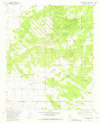
1981 · Progresso SW
USGS Topo · 1:24,000
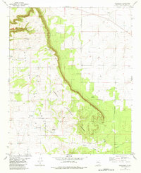
1981 · Progresso
USGS Topo · 1:24,000
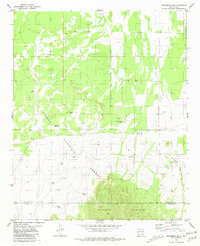
1981 · Progresso SE
USGS Topo · 1:24,000