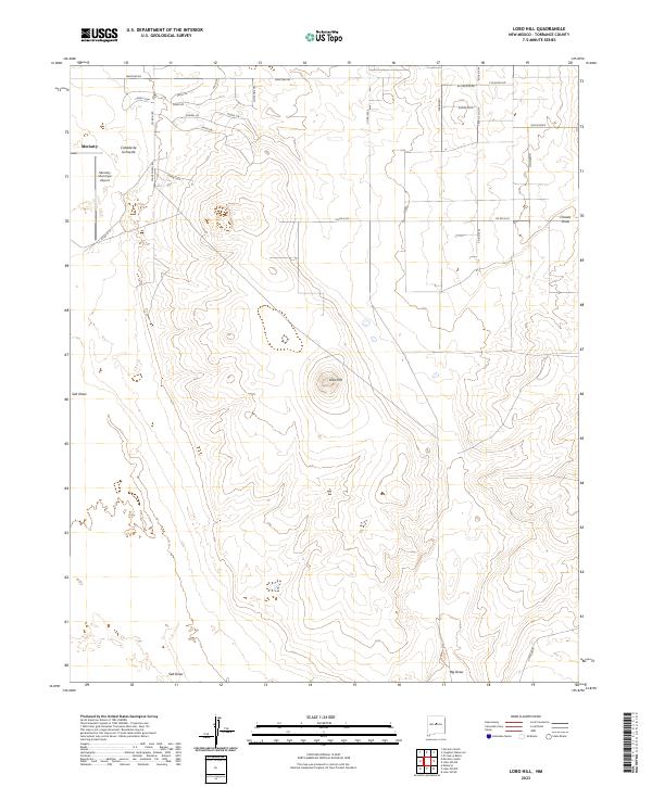
2023 Map of Lobo Hill
USGS Topo · Published 2023About this map
Moriarty sits at the edge of this high-desert landscape in Torrance County, where the town's expansion meets the sprawling topography of the Estancia Valley. The Moriarty Municipal Airport serves as a prominent landmark on the western margin, positioned near the Cañada de la Puerta. A complex network of residential roads, many with equestrian-themed names like Lariat Loop, Reata Rd, and Rodeo Cir, illustrates the modern settlement patterns in this area east of the city center.
Find a feature on this map
36 named features on this map. Tap any name to fly to it.
Don’t see what you’re looking for? This feature index may not catch every label — zoom into the map to look around manually.
Map Details
Editions of this 2023 Lobo Hill Map
This is the sole edition of this map. No revisions or reprints were ever made.
Other maps of this area

1892 · San Pedro
USGS Topo · 1:125,000

1894 · Lamy
USGS Topo · 1:125,000

1917 · Estancia
USGS Topo · 1:125,000

1954 · Santa Fe
USGS Topo · 1:250,000

1954 · Fort Sumner
USGS Topo · 1:250,000

1954 · Socorro
USGS Topo · 1:250,000

1956 · Edgewood
USGS Topo · 1:62,500

1956 · Estancia
USGS Topo · 1:62,500

1958 · Socorro
USGS Topo · 1:250,000

1958 · Fort Sumner
USGS Topo · 1:250,000