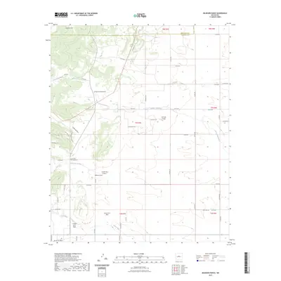
2023 Map of Milbourn Ranch
USGS Topo · Published 2023About this map
The high ranching and canyon country of Torrance County is revealed in this contemporary survey, where deep drainage systems like Milbourn Draw and Compton Draw cut through the high-elevation landscape. The terrain is defined by a network of seasonal watercourses and cañadas, including Cañada de la Perra and Cañada de la Miga, which channel runoff from the surrounding peaks toward the lower basins. The historical footprint of the area's inhabitants is preserved at the Garland Cem, located near the junction of Co RD a020 and Co RD a021.
Find a feature on this map
57 named features on this map. Tap any name to fly to it.
Don’t see what you’re looking for? This feature index may not catch every label — zoom into the map to look around manually.
Map Details
Editions of this 2023 Milbourn Ranch Map
This is the sole edition of this map. No revisions or reprints were ever made.
Other maps of this area

1917 · Estancia
USGS Topo · 1:125,000

1954 · Chilili
USGS Topo · 1:24,000

1954 · Torreon
USGS Topo · 1:24,000

1954 · Tajique
USGS Topo · 1:24,000

1954 · Escabosa
USGS Topo · 1:24,000

1954 · Milbourn Ranch
USGS Topo · 1:24,000

1954 · Torreon
USGS Topo · 1:62,500

1954 · Socorro
USGS Topo · 1:250,000

1956 · Estancia
USGS Topo · 1:62,500

1956 · Mountainair
USGS Topo · 1:62,500