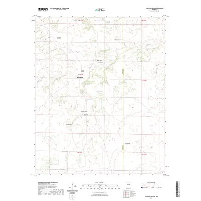
2023 Map of Pinavete Canyon
USGS Topo · Published 2023About this map
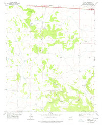
Derramadero sits at a geographic crossroads where the high mesas of Torrance County meet a complex network of canyons and arroyos. This high-desert landscape is defined by its water-management history, evidenced by numerous livestock tanks such as Chavez Red Tank, Prudencia Tank, and Apodaca Tank which support ranching in an arid environment. The terrain is deeply incised by drainages like Pintada Arroyo and Pinavete Canyon, while prominent landmarks such as Armijo Peak and Mesa Apodaca provide significant relief and navigation points for the region.
Find a feature on this map
31 named features on this map. Tap any name to fly to it.
Don’t see what you’re looking for? This feature index may not catch every label — zoom into the map to look around manually.
Map Details
Editions of this 2023 Pinavete Canyon Map
This is the sole edition of this map. No revisions or reprints were ever made.
Other maps of this area

1954 · Fort Sumner
USGS Topo · 1:250,000

1958 · Fort Sumner
USGS Topo · 1:250,000
1978 · Milagro Spring
USGS Topo · 1:24,000
1978 · George Ranch
USGS Topo · 1:24,000

1978 · Mesa Leon
USGS Topo · 1:24,000

1978 · Santa Barbara Lake
USGS Topo · 1:24,000

1978 · Santo Nino Canyon
USGS Topo · 1:24,000

1978 · Encino
USGS Topo · 1:24,000
1978 · Milagro
USGS Topo · 1:24,000
1978 · Palma
USGS Topo · 1:24,000