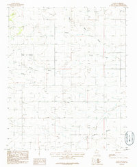
1986 Map of Ewing
USGS Topo · Published 1986About this map
Torreon and the small settlement of Ewing anchor this mid-1980s provisional survey of the central New Mexico high desert. The landscape is defined by its drainage patterns, with significant features like Tajique Draw and Arroyo de la Miga cutting through the terrain. The area reflects a sparse but functional infrastructure, centered on the Town of Torreon boundary and supported by a local Landing Strip and a Gravel Pit.
Find a feature on this map
11 named features on this map. Tap any name to fly to it.
Don’t see what you’re looking for? This feature index may not catch every label — zoom into the map to look around manually.
Map Details
Editions of this 1986 Ewing Map
This is the sole edition of this map. No revisions or reprints were ever made.
Other maps of this area

1917 · Estancia
USGS Topo · 1:125,000

1954 · Torreon
USGS Topo · 1:24,000

1954 · Tajique
USGS Topo · 1:24,000

1954 · Milbourn Ranch
USGS Topo · 1:24,000

1954 · Torreon
USGS Topo · 1:62,500

1954 · Socorro
USGS Topo · 1:250,000

1956 · Estancia
USGS Topo · 1:62,500

1956 · Mountainair
USGS Topo · 1:62,500

1958 · Socorro
USGS Topo · 1:250,000

1962 · Socorro
USGS Topo · 1:250,000