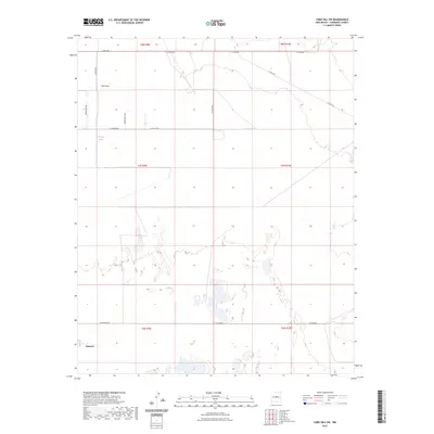
2023 Map of Lobo Hill SW
USGS Topo · Published 2023About this map
Estancia marks the southwestern corner of this survey, where the high desert terrain transitions toward the basin's drainage patterns. The landscape is defined by the ephemeral path of Salt Draw, which weaves through the northern sections, and the presence of Cieneguita Spring, a vital water source in this arid environment. The road network reflects a grid of rural development and ranch access, with labels like Ice Plant Rd and Alan Myers Rd identifying local corridors. The map provides a detailed view of the section lines and township boundaries, including t7n r9e and t8n r10e, illustrating the cadastral organization of Torrance County in the early 21st century.
Find a feature on this map
18 named features on this map. Tap any name to fly to it.
Don’t see what you’re looking for? This feature index may not catch every label — zoom into the map to look around manually.
Map Details
Editions of this 2023 Lobo Hill SW Map
This is the sole edition of this map. No revisions or reprints were ever made.
Other maps of this area

1917 · Estancia
USGS Topo · 1:125,000

1954 · Fort Sumner
USGS Topo · 1:250,000

1954 · Socorro
USGS Topo · 1:250,000

1956 · Estancia
USGS Topo · 1:62,500

1956 · Mountainair
USGS Topo · 1:62,500

1958 · Socorro
USGS Topo · 1:250,000

1958 · Fort Sumner
USGS Topo · 1:250,000

1960 · Lobo Hill
USGS Topo · 1:62,500

1962 · Socorro
USGS Topo · 1:250,000

1978 · Laguna Del Perro North
USGS Topo · 1:24,000