Old Maps of Highland Meadows, New Mexico for Hiking & Exploration
Hike through history with 12 historic maps of Highland Meadows. Explore old trails, ghost towns, and forgotten backroads — perfect for outdoor adventurers and local explorers.
- Rediscover forgotten places: Map out old mining camps, roads, and footpaths that no longer exist on modern maps.
- Layer with modern tools: Combine with LiDAR or satellite views to plan hikes through historical terrain.
- Made for exploration: Popular among hikers, overlanders, and local history lovers.
Use these maps to find adventure and explore the hidden past of Highland Meadows.
Highland Meadows, NM maps
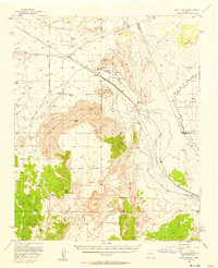
(12)- 1917 Map of Cerro Verde
 1917 Cerro Verde1917 Print · USGSNorthwestern New Mexico’s high desert landscape is captured here during the First World War era, showing a mix of ancient land grants and rail-side outposts. Genealogists and historians can trace family-named sites like Vigil, Baca, and the Correo Post Office along the Atchison Topeka and Santa Fe line.
 - 1954 Map of Socorro, 1972 Print
 1954 Socorro1972 Print · USGSMid-century New Mexico comes into focus as the Rio Grande valley and the surrounding high desert undergo post-war growth. Genealogists and historians can trace old mountain settlements like Tajique and Punta de Agua or locate remote sites like the Torrance Mine.2 unique versions available
 - 1956 Map of South Garcia, 1958 Print
 1956 South Garcia1958 Print · USGSThe high desert landscape west of Albuquerque is captured here in the mid-fifties as ranching and rail infrastructure defined the region. Researchers can trace historic ranch boundaries and water sources like the Antonio Sedillo Grant Hdqrs, T X Ranch, and Marys Windmill.3 unique versions available
 - 1958 Map of Socorro
 1958 Socorro1958 Print · USGSNew Mexico's high desert during the late fifties reveals a landscape of massive land grants and remote mining outposts. Researchers can trace the path of the Atchison Topeka and Santa Fe railroad as it connects Socorro and Belen to industrial sites like the Manganese Mill.
 - 1962 Map of Socorro
 1962 Socorro1962 Print · USGSCentral New Mexico comes alive in the early sixties as the rail-and-river corridor of the Rio Grande connects historic pueblos and ranching towns. Local historians can trace the route of the Atchison Topeka and Santa Fe through Belen or locate the Torrance Mine near Mountainair.
 - 1978 Map of Acoma Pueblo, 1979 Print
 1978 Acoma Pueblo1979 Print · USGSCibola and Valencia counties are captured here in the late seventies, showing a landscape of ancient pueblos and modern transit corridors. Genealogists and historians can trace the paths of U.S. 66 and the Atchison Topeka and Santa Fe RR past Acoma Pueblo and Suwanee.
 - 1985 Map of Correo
 1985 Correo1985 Print · USGSValencia County and the Laguna Indian Reservation are captured here in the mid-1980s as the rail and highway corridor shaped the high-desert landscape. Researchers can locate the tracks of the Atchison Topeka and Santa Fe RR and trace the paths of Rio San Jose and Arroyo Colorado past the settlement at Correo.
 - 2010 Map of Correo, 2010 Print
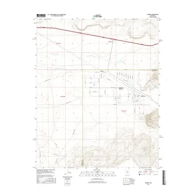
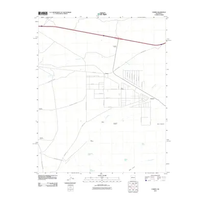 2010 Correo2010 Print · USGSCovers Highland Meadows, including Suwanee, Correo, and other nearby areas
 - 2013 Map of Correo, 2013 Print
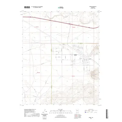
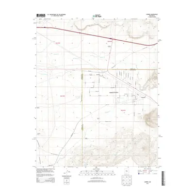 2013 Correo2013 Print · USGSCovers Highland Meadows, including Suwanee, Correo, and other nearby areas
 - 2017 Map of Correo, 2017 Print
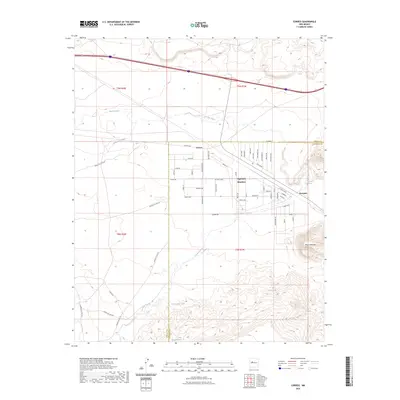
 2017 Correo2017 Print · USGSCovers Highland Meadows, including Suwanee, Correo, and other nearby areas
 - 2020 Map of Correo, 2020 Print
 2020 Correo2020 Print · USGSCovers Highland Meadows, including Suwanee, Correo, and other nearby areas
 - 2023 Map of Correo, 2023 Print
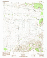
 2023 Correo2023 Print · USGSHighland Meadows and the surrounding New Mexico desert are captured here in the early twenty-first century as modern developments meet historic paths. Researchers can trace the path of Old Hwy 66 and locate specific water sources like Suwanee Spring and Valentine Tank.
End of results
Showing maps 1-12 of 12
Top cities near Highland Meadows
Frequently asked questions
- What are the different types of historical maps available for Highland Meadows?
- What is the oldest map of Highland Meadows?
- Where can I purchase historical maps of Highland Meadows for my home or office?
- Where can I download high-res historical maps of Highland Meadows?
- Are there historical topographic maps available for Highland Meadows?
- Is there historical aerial imagery available for Highland Meadows?
- Where are historical maps of Highland Meadows sourced from?