2000s (21st Century) Maps of Zelete's Rock, New Mexico
Explore 5 historic maps of Zelete's Rock from the 2000s (21st Century). These maps offer a rare glimpse into what life looked like during the 2000s — showing old roads, neighborhoods, homes, and landmarks that have changed or disappeared over time.
Whether you're researching your family's past, planning a metal detecting trip, or studying how Zelete's Rock's landscape evolved across the 2000s, these high-resolution maps are a powerful tool for exploring the history of this region.
- Focus on a specific era: All maps on this page are from the 2000s, giving you a focused view of this time period.
- See what’s changed: Compare century-old streets, trails, and buildings to today's modern landscape using overlays and satellite layers.
- Research with precision: Use these maps for genealogy, historical research, land use analysis, or educational projects.
- View, download, or print: Maps are fully viewable online in high resolution, and can be downloaded or printed for your own records.
Start exploring Zelete's Rock's history through authentic maps from the 2000s. This is your window into the past.
Zelete's Rock, NM maps
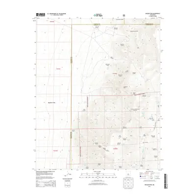
(5)- 2011 Map of Bosque Peak, 2011 Print
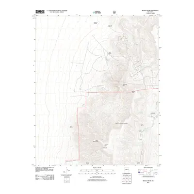 2011 Bosque Peak2011 Print · USGSCovers Zelete's Rock, including Bernalillo County, Valencia County, and other nearby areas
 - 2013 Map of Bosque Peak, 2013 Print
 2013 Bosque Peak2013 Print · USGSCovers Zelete's Rock, including Bernalillo County, Valencia County, and other nearby areas
 - 2017 Map of Bosque Peak, 2017 Print
 2017 Bosque Peak2017 Print · USGSCovers Zelete's Rock, including Bernalillo County, Valencia County, and other nearby areas
 - 2020 Map of Bosque Peak, 2020 Print
 2020 Bosque Peak2020 Print · USGSCovers Zelete's Rock, including Bernalillo County, Valencia County, and other nearby areas
 - 2023 Map of Bosque Peak, 2023 Print
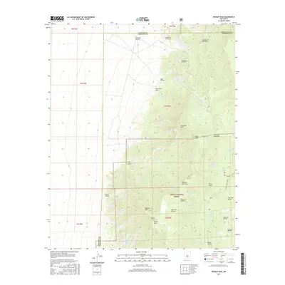
 2023 Bosque Peak2023 Print · USGSThe high crests of the Manzano Mountains define this modern survey of the Valencia and Torrance county line. Hikers and historians can trace the Manzano Crest Trl past Bosque Peak and locate remote water sources such as Yellowstone Spring.
End of results
Showing maps 1-5 of 5
Top cities near Zelete's Rock
- Albuquerque historical maps
- Los Lunas historical maps
- Edgewood historical maps
- Cedar Crest historical maps
- Tijeras historical maps
Frequently asked questions
- What are the different types of historical maps available for Zelete's Rock?
- What is the oldest map of Zelete's Rock?
- Where can I purchase historical maps of Zelete's Rock for my home or office?
- Where can I download high-res historical maps of Zelete's Rock?
- Are there historical topographic maps available for Zelete's Rock?
- Is there historical aerial imagery available for Zelete's Rock?
- Where are historical maps of Zelete's Rock sourced from?