2000s (21st Century) Maps of Colonie, New York
Explore 30 historic maps of Colonie from the 2000s (21st Century). These maps offer a rare glimpse into what life looked like during the 2000s — showing old roads, neighborhoods, homes, and landmarks that have changed or disappeared over time.
Whether you're researching your family's past, planning a metal detecting trip, or studying how Colonie's landscape evolved across the 2000s, these high-resolution maps are a powerful tool for exploring the history of this region.
- Focus on a specific era: All maps on this page are from the 2000s, giving you a focused view of this time period.
- See what’s changed: Compare century-old streets, trails, and buildings to today's modern landscape using overlays and satellite layers.
- Research with precision: Use these maps for genealogy, historical research, land use analysis, or educational projects.
- View, download, or print: Maps are fully viewable online in high resolution, and can be downloaded or printed for your own records.
Start exploring Colonie's history through authentic maps from the 2000s. This is your window into the past.
Colonie, NY maps
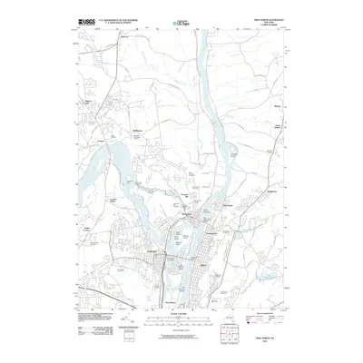
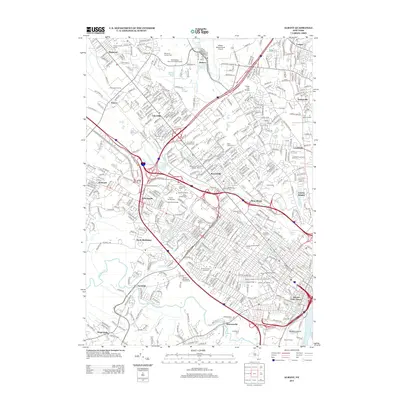
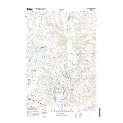
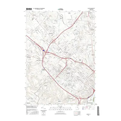
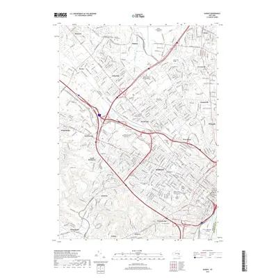
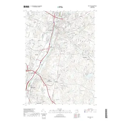
(30)- 2010 Map of Albany, 2010 Print
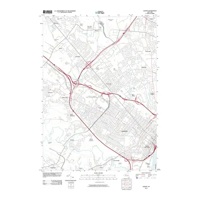 2010 Albany2010 Print · USGSCovers Colonie, including Albany, Guilderland, and other nearby areas
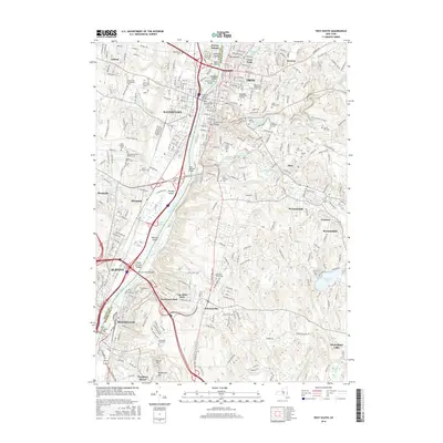
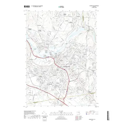
 - 2010 Map of Schenectady, 2010 Print
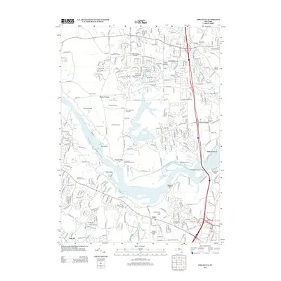
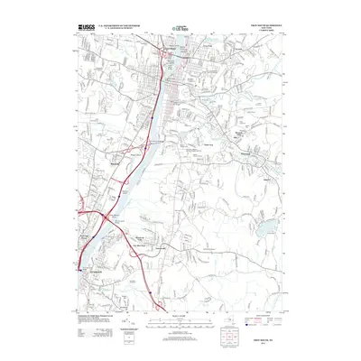
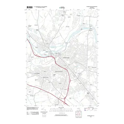 2010 Schenectady2010 Print · USGSCovers Colonie, including Schenectady, Clifton Park, and other nearby areas
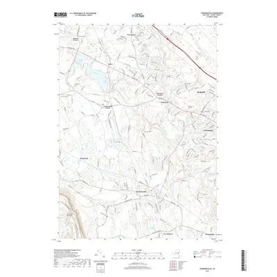
 - 2010 Map of Voorheesville, 2010 Print
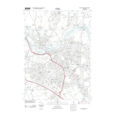
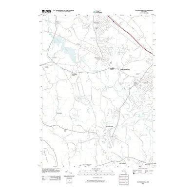 2010 Voorheesville2010 Print · USGSCovers Colonie, including Albany, Guilderland, and other nearby areas
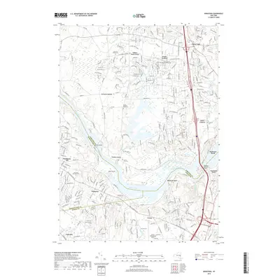
 - 2010 Map of Niskayuna, 2010 Print
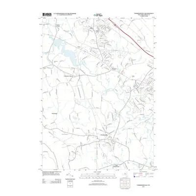
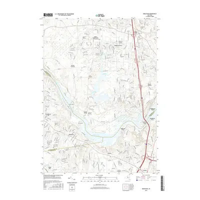
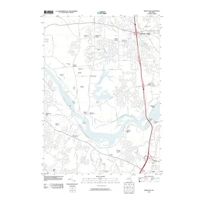 2010 Niskayuna2010 Print · USGSCovers Colonie, including Clifton Park, Halfmoon, and other nearby areas
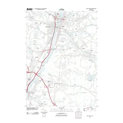
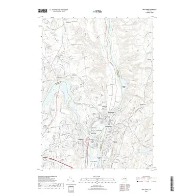
 - 2010 Map of Troy North, 2010 Print
 2010 Troy North2010 Print · USGSCovers Colonie, including Troy, Halfmoon, and other nearby areas
 - 2011 Map of Troy South, 2011 Print
 2011 Troy South2011 Print · USGSCovers Colonie, including Albany, Troy, and other nearby areas
 - 2013 Map of Niskayuna, 2013 Print
 2013 Niskayuna2013 Print · USGSCovers Colonie, including Clifton Park, Halfmoon, and other nearby areas
 - 2013 Map of Troy North, 2013 Print
 2013 Troy North2013 Print · USGSCovers Colonie, including Troy, Halfmoon, and other nearby areas
 - 2013 Map of Albany, 2013 Print
 2013 Albany2013 Print · USGSCovers Colonie, including Albany, Guilderland, and other nearby areas
 - 2013 Map of Troy South, 2013 Print
 2013 Troy South2013 Print · USGSCovers Colonie, including Albany, Troy, and other nearby areas
 - 2013 Map of Schenectady, 2013 Print
 2013 Schenectady2013 Print · USGSCovers Colonie, including Schenectady, Clifton Park, and other nearby areas
 - 2013 Map of Voorheesville, 2013 Print
 2013 Voorheesville2013 Print · USGSCovers Colonie, including Albany, Guilderland, and other nearby areas
 - 2016 Map of Troy North, 2016 Print
 2016 Troy North2016 Print · USGSCovers Colonie, including Troy, Halfmoon, and other nearby areas
 - 2016 Map of Niskayuna, 2016 Print
 2016 Niskayuna2016 Print · USGSCovers Colonie, including Clifton Park, Halfmoon, and other nearby areas
 - 2016 Map of Voorheesville, 2016 Print
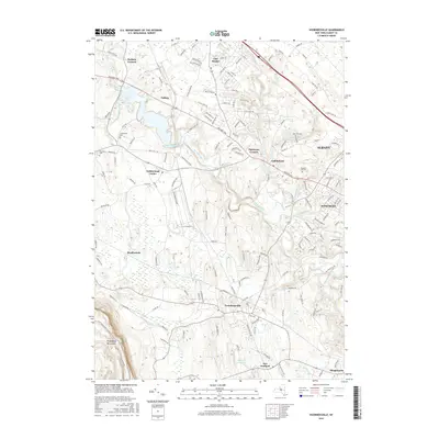 2016 Voorheesville2016 Print · USGSCovers Colonie, including Albany, Guilderland, and other nearby areas
 - 2016 Map of Schenectady, 2016 Print
 2016 Schenectady2016 Print · USGSCovers Colonie, including Schenectady, Clifton Park, and other nearby areas
 - 2016 Map of Albany, 2016 Print
 2016 Albany2016 Print · USGSCovers Colonie, including Albany, Guilderland, and other nearby areas
 - 2016 Map of Troy South, 2016 Print
 2016 Troy South2016 Print · USGSCovers Colonie, including Albany, Troy, and other nearby areas
 - 2019 Map of Voorheesville, 2019 Print
 2019 Voorheesville2019 Print · USGSCovers Colonie, including Albany, Guilderland, and other nearby areas
 - 2019 Map of Albany, 2019 Print
 2019 Albany2019 Print · USGSCovers Colonie, including Albany, Guilderland, and other nearby areas
 - 2019 Map of Troy South, 2019 Print
 2019 Troy South2019 Print · USGSCovers Colonie, including Albany, Troy, and other nearby areas
 - 2019 Map of Schenectady, 2019 Print
 2019 Schenectady2019 Print · USGSCovers Colonie, including Schenectady, Clifton Park, and other nearby areas
 - 2019 Map of Troy North, 2019 Print
 2019 Troy North2019 Print · USGSCovers Colonie, including Troy, Halfmoon, and other nearby areas
 - 2019 Map of Niskayuna, 2019 Print
 2019 Niskayuna2019 Print · USGSCovers Colonie, including Clifton Park, Halfmoon, and other nearby areas
 - 2023 Map of Troy North, 2023 Print
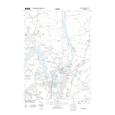
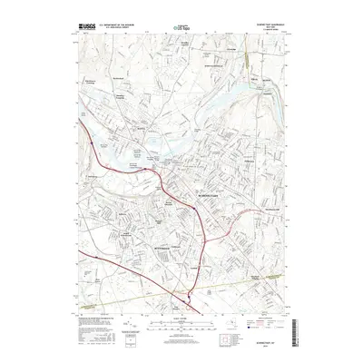
 2023 Troy North2023 Print · USGSThe confluence of the Hudson and Mohawk rivers comes into sharp focus in this modern survey of the Saratoga and Rensselaer county border. Researchers can trace historic burial sites like Oakwood Cem and Middletown Cem alongside the remnants of the Old Champlain Canal.
Showing maps 1-25 of 30
Top cities near Colonie
- Albany historical maps
- Schenectady historical maps
- Troy historical maps
- Clifton Park historical maps
- Guilderland historical maps
- Bethlehem historical maps
See more
Top neighborhoods of Colonie
- Verdoy historical maps
- Lisha Kill historical maps
- Shakers historical maps
- Whitney Estates historical maps
- Mohawk View historical maps
- Crescent Station historical maps
See more
Frequently asked questions
- What are the different types of historical maps available for Colonie?
- What is the oldest map of Colonie?
- Where can I purchase historical maps of Colonie for my home or office?
- Where can I download high-res historical maps of Colonie?
- Are there historical topographic maps available for Colonie?
- Is there historical aerial imagery available for Colonie?
- Where are historical maps of Colonie sourced from?