2000s (21st Century) Maps of Wellsville, New York
Explore 30 historic maps of Wellsville from the 2000s (21st Century). These maps offer a rare glimpse into what life looked like during the 2000s — showing old roads, neighborhoods, homes, and landmarks that have changed or disappeared over time.
Whether you're researching your family's past, planning a metal detecting trip, or studying how Wellsville's landscape evolved across the 2000s, these high-resolution maps are a powerful tool for exploring the history of this region.
- Focus on a specific era: All maps on this page are from the 2000s, giving you a focused view of this time period.
- See what’s changed: Compare century-old streets, trails, and buildings to today's modern landscape using overlays and satellite layers.
- Research with precision: Use these maps for genealogy, historical research, land use analysis, or educational projects.
- View, download, or print: Maps are fully viewable online in high resolution, and can be downloaded or printed for your own records.
Start exploring Wellsville's history through authentic maps from the 2000s. This is your window into the past.
Wellsville, NY maps
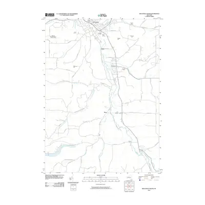
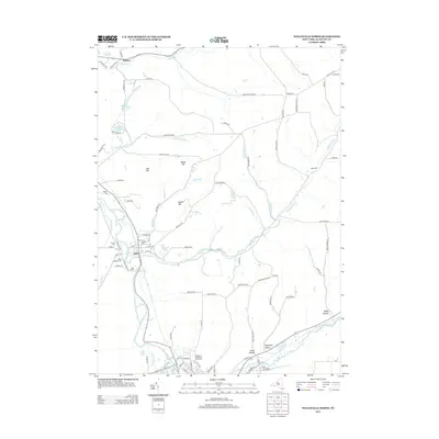
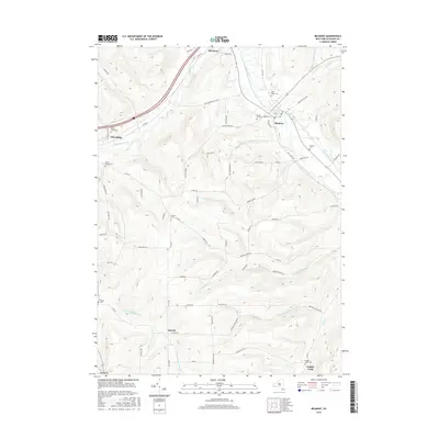
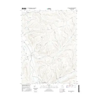
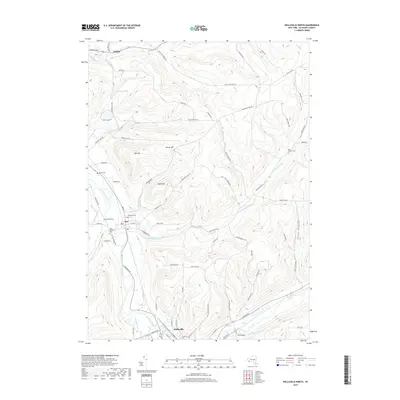
(30)- 2010 Map of Wellsville North, 2010 Print
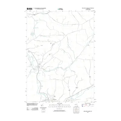 2010 Wellsville North2010 Print · USGSCovers Wellsville, including Amity, Andover, and other nearby areas
 - 2010 Map of Whitesville, 2010 Print
 2010 Whitesville2010 Print · USGSCovers Wellsville, including Andover, Willing, and other nearby areas
 - 2010 Map of Belmont, 2010 Print
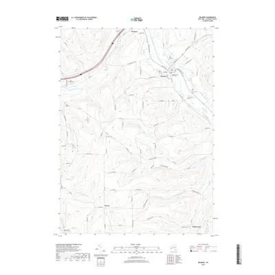
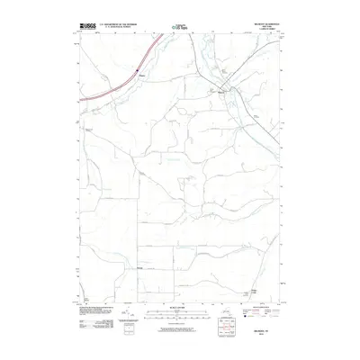 2010 Belmont2010 Print · USGSCovers Wellsville, including Amity, Friendship, and other nearby areas
 - 2010 Map of Andover, 2010 Print
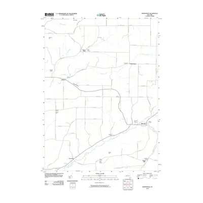
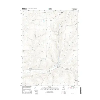
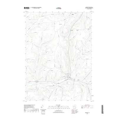
 2010 Andover2010 Print · USGSCovers Wellsville, including Alfred, Alfred, and other nearby areas
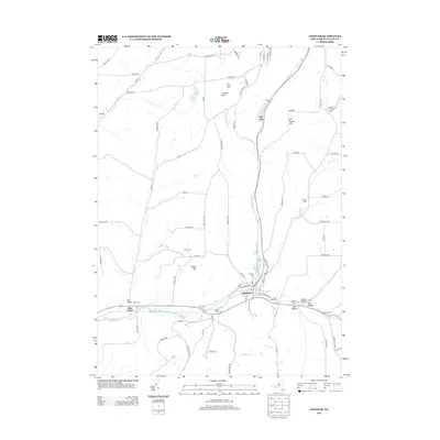
 - 2010 Map of Wellsville South, 2010 Print
 2010 Wellsville South2010 Print · USGSCovers Wellsville, including Willing, Alma, and other nearby areas
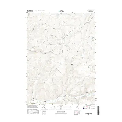
 - 2010 Map of Allentown, 2010 Print
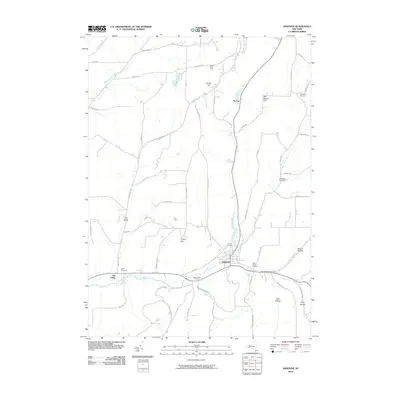
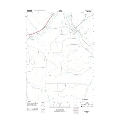
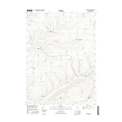
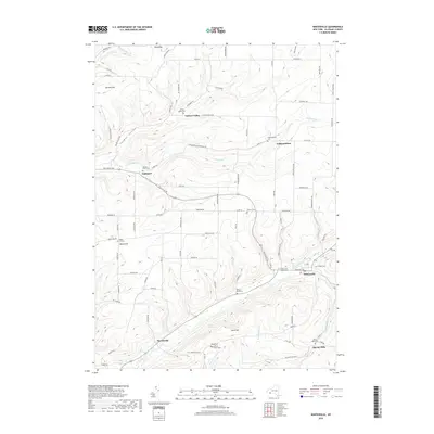
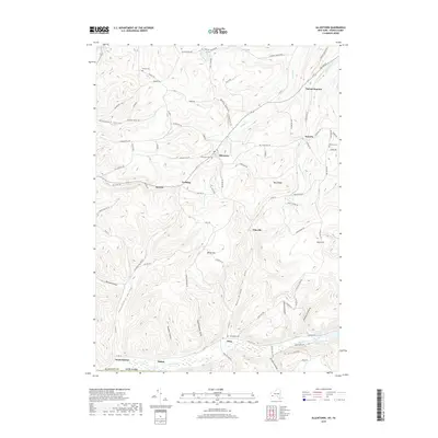
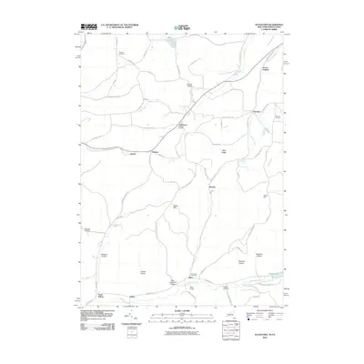 2010 Allentown2010 Print · USGSCovers Wellsville, including Bolivar, Scio, and other nearby areas
 - 2013 Map of Allentown, 2013 Print
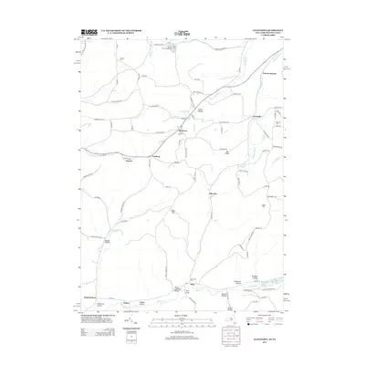 2013 Allentown2013 Print · USGSCovers Wellsville, including Bolivar, Scio, and other nearby areas
 - 2013 Map of Whitesville, 2013 Print
 2013 Whitesville2013 Print · USGSCovers Wellsville, including Andover, Willing, and other nearby areas
 - 2013 Map of Wellsville North, 2013 Print
 2013 Wellsville North2013 Print · USGSCovers Wellsville, including Amity, Andover, and other nearby areas
 - 2013 Map of Andover, 2013 Print
 2013 Andover2013 Print · USGSCovers Wellsville, including Alfred, Alfred, and other nearby areas
 - 2013 Map of Wellsville South, 2013 Print
 2013 Wellsville South2013 Print · USGSCovers Wellsville, including Willing, Alma, and other nearby areas
 - 2013 Map of Belmont, 2013 Print
 2013 Belmont2013 Print · USGSCovers Wellsville, including Amity, Friendship, and other nearby areas
 - 2016 Map of Belmont, 2016 Print
 2016 Belmont2016 Print · USGSCovers Wellsville, including Amity, Friendship, and other nearby areas
 - 2016 Map of Wellsville South, 2016 Print
 2016 Wellsville South2016 Print · USGSCovers Wellsville, including Willing, Alma, and other nearby areas
 - 2016 Map of Allentown, 2016 Print
 2016 Allentown2016 Print · USGSCovers Wellsville, including Bolivar, Scio, and other nearby areas
 - 2016 Map of Andover, 2016 Print
 2016 Andover2016 Print · USGSCovers Wellsville, including Alfred, Alfred, and other nearby areas
 - 2016 Map of Wellsville North, 2016 Print
 2016 Wellsville North2016 Print · USGSCovers Wellsville, including Amity, Andover, and other nearby areas
 - 2016 Map of Whitesville, 2016 Print
 2016 Whitesville2016 Print · USGSCovers Wellsville, including Andover, Willing, and other nearby areas
 - 2019 Map of Wellsville South, 2019 Print
 2019 Wellsville South2019 Print · USGSCovers Wellsville, including Willing, Alma, and other nearby areas
 - 2019 Map of Whitesville, 2019 Print
 2019 Whitesville2019 Print · USGSCovers Wellsville, including Andover, Willing, and other nearby areas
 - 2019 Map of Wellsville North, 2019 Print
 2019 Wellsville North2019 Print · USGSCovers Wellsville, including Amity, Andover, and other nearby areas
 - 2019 Map of Allentown, 2019 Print
 2019 Allentown2019 Print · USGSCovers Wellsville, including Bolivar, Scio, and other nearby areas
 - 2019 Map of Belmont, 2019 Print
 2019 Belmont2019 Print · USGSCovers Wellsville, including Amity, Friendship, and other nearby areas
 - 2019 Map of Andover, 2019 Print
 2019 Andover2019 Print · USGSCovers Wellsville, including Alfred, Alfred, and other nearby areas
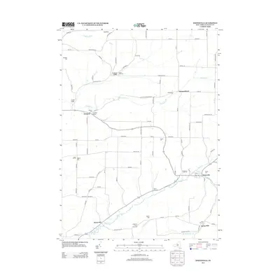
 - 2023 Map of Belmont, 2023 Print
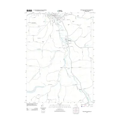
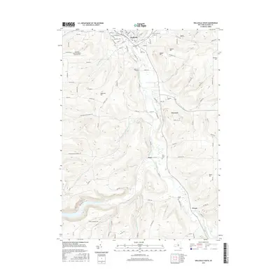
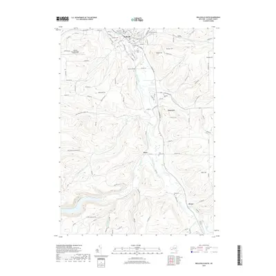
 2023 Belmont2023 Print · USGSWestern New York's river valleys and wooded ridges come alive in this contemporary record of Allegany County. Genealogists and historians can trace the rural landscape across Belmont and Friendship, locating family-named landmarks and sites like Norton Cem or Inavale.
Showing maps 1-25 of 30
Top cities near Wellsville
- Alfred historical maps
- Wellsville historical maps
- Hornellsville historical maps
- Alfred historical maps
- Caneadea historical maps
- Amity historical maps
See more
Top neighborhoods of Wellsville
Frequently asked questions
- What are the different types of historical maps available for Wellsville?
- What is the oldest map of Wellsville?
- Where can I purchase historical maps of Wellsville for my home or office?
- Where can I download high-res historical maps of Wellsville?
- Are there historical topographic maps available for Wellsville?
- Is there historical aerial imagery available for Wellsville?
- Where are historical maps of Wellsville sourced from?